out and about - 2023
26 September 2023 ............. Along from Ogmore
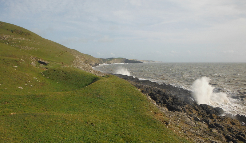
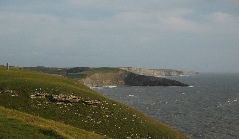
A short section of the coastal path to the east of Ogmore - starting up on top of the cliffs between Ogmore and Dunraven Bay - then heading westwards away down the hill until you are right down close to sea level - and a superb viewpoint looking eastwards away along the coast right along to Nash Point -
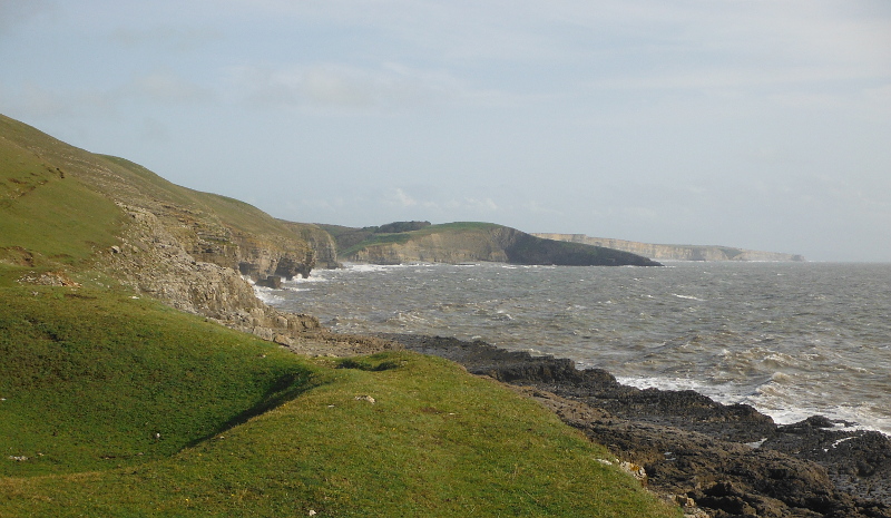
A closer view of the cliffs that lead along to Nash Point - the highest point in the cliffs is somewhere east of Dunraven Bay about halfway to Monknash.
Not sure if the coastal path goes over that highest point, as it loops away from the coast for a couple of kilometres, goes along the public road, then at Monknash it heads back to the coast.
It doesn`t really show in the photograph but it is quite a pronounced headland when viewed from the sea - I paddled past it in my sea kayak several years ago.
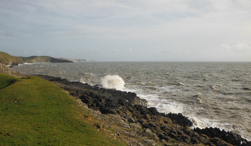
Time for a bit of fun trying to catch the waves as they blasted onto the rocks - I got a few -
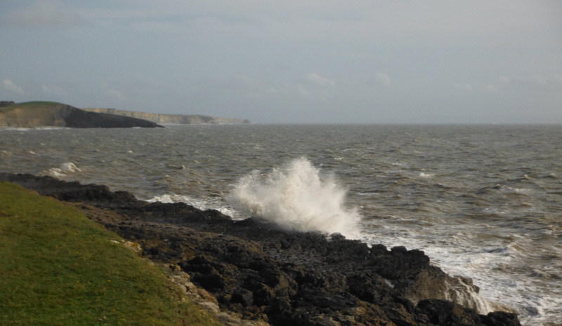
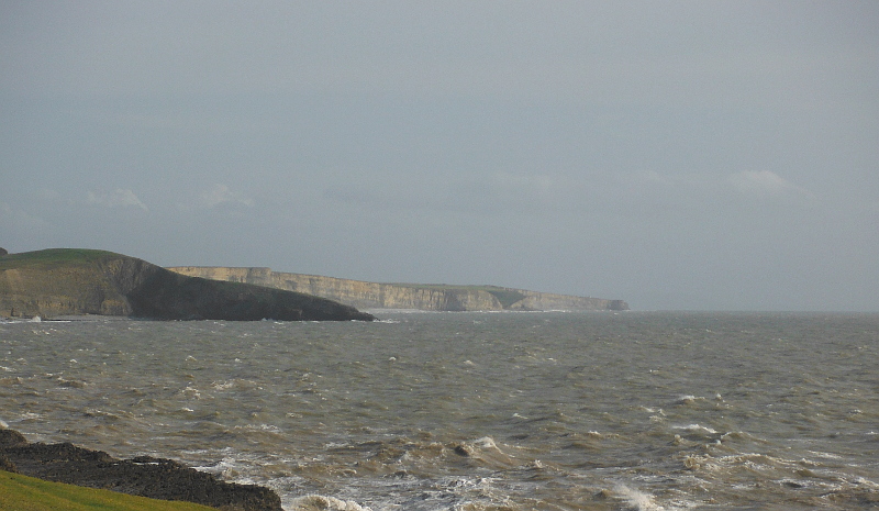
Further west now along the coast and another superb view along to the east -
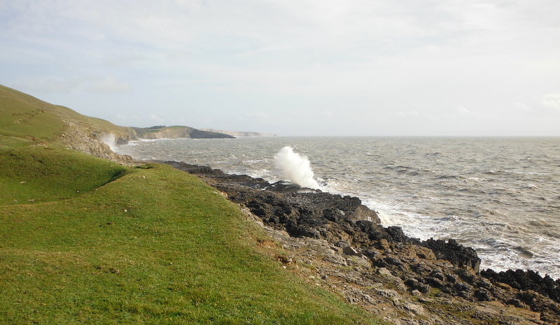
You can now see many of the caves along the coast to the east - and just by luck I caught a wave in the first cave -
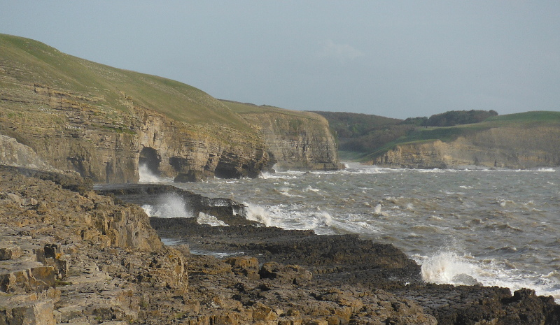
The noticeable gap in the cliffs just past the caves is Dunraven Bay - most of the steep bank of stones that form the beach at Dunraven Bay are covered because it was by now quite close to high tide.
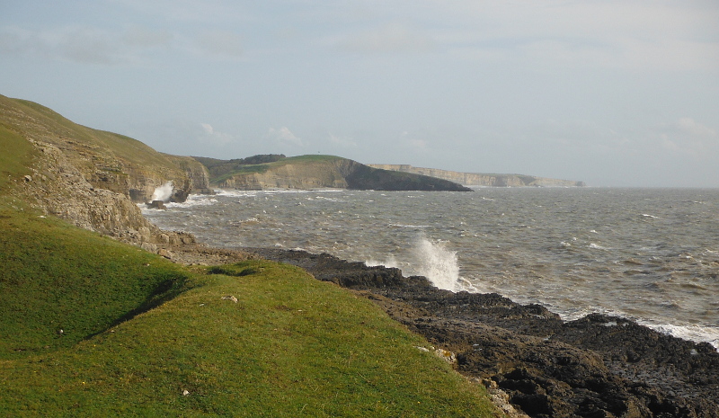
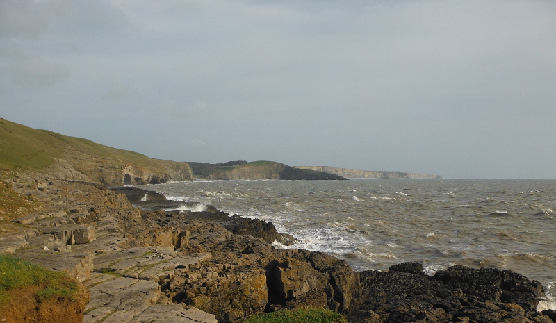
The other noticeable thing is the long flat plateau of rocks that is just above the sea level.
According to the OS map they are called Black Rocks - I have never seen them at high tide before - I have been down to them and along them at low tide.
They are a very distinctive feature at low tide - you are up on a plateau several metres above the sandy beach and they form a distinctive rocky promenade - with a vertical drop down to the beach - there is at least one cave underneath them, and a blow hole at the west end.
If you are rather unhinged you can climb down from the prom right at the far end - over very jaggy sea eroded limestone.
Time to head away - back up at my starting point on top of the cliffs and a last look along the coast to the east -
website design by ron-t
website hosting by netnerd.com
© 2025 Ron Turner
![]()
![]()