out and about - 2018
18 May 2018 .............. A rather unexpected sunset
One of the more surprising geographic features of the southern half of Pembrokeshire is the quite substantial tidal river network that goes surprisingly far inland.
Its outer reaches along past Milford Haven are I think known as the Daugleddau estuary, then heading upriver it passes Pembroke Dock, underneath the very impressive Cleddau Bridge, turns up to the north up to Picton Point, where it splits into the Eastern Cleddau and the Western Cleddau, and both these continue as tidal rivers for another 8 - 10 kilometres or so.
It really is amazing to think that Haverfordwest, right in the middle of Pembrokeshire, is the lowest crossing point of the tidal river of Western Cleddau.
Eastern Cleddau heads away up to the northeast, and actually rises in Mynydd Preseli, a block of substantial hills in the northeast corner of Pembrokeshire.
However we have gone a bit too far, because on the way up to Picton Point there is another branch of the Daugleddau off to the right, where two rather shorter rivers join in, Cresswell River and Carew River, and again, they are both tidal up to Cresswell Quay ( and possibly Cresswell Castle ) and up to Carew Castle respectively.
Round West Williamston and further to the south, Carew River is flanked by acres of salt marsh - there is a lot of it.
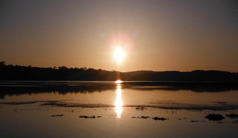
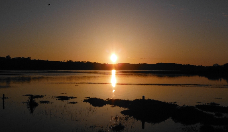
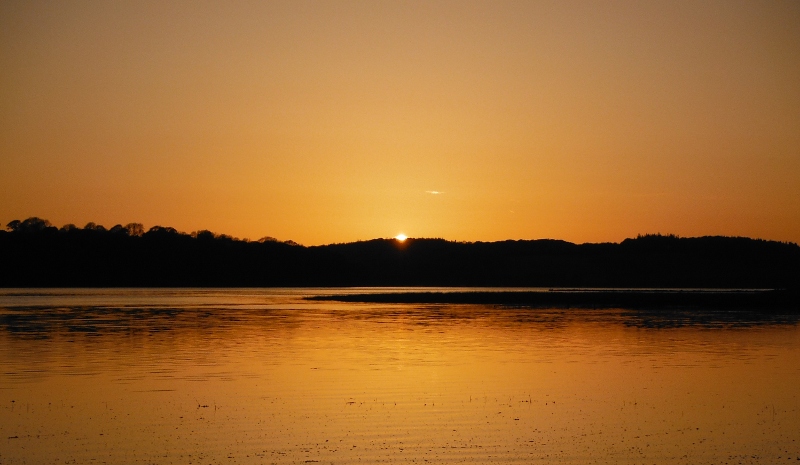
So now we come to this evening, because just by chance, it was a Springs High Tide, and time for the sun to set - so there in the middle of Pembrokeshire, miles from the sea, I could watch the sunset over the sea that flooded the salt marsh.
It was a good one too - here is its early stage with a the beginnings of a copper coloured sky -

A bit later on, and another bit of the salt marsh -

Just about away now, but super colouring to end the sunset over the sea right in the middle of Pembrokeshire -
