out and about - 2017
14 September 2017 .............. Parys Mountain
I had a walk around Parys Mountain - or Copper Mountain as it is also known - it is far bigger than I expected, and there is lot more to see than what I expected, or indeed managed to see.
Parys Mountain was a huge quarry back in the 17 and 18 hundreds producing not only copper but also sulphur, and I think some other metals as well - at one time it was I think one of the biggest copper mines in the world at that time, if not the biggest.
It was because of the need to export all the copper or copper ore that Amlwch - that has a sort of natural harbour - grew from being a small insignificant village into the largest and most commercial town in Anglesey at that time.
I knew there was a big hole in the ground, but I didn`t know anything else about it, so my trip was somewhat a trip into the unknown, and as it turned out, this was a bit of a snag, because my route round was a bit random, and rather inefficient, and I didn`t see all the bits and pieces that I could have seen.
I wish I had known what I know now before I went, it would have been a more productive outing.
So the pictures below are arranged in their subject matter, and not in the order in which I took them.
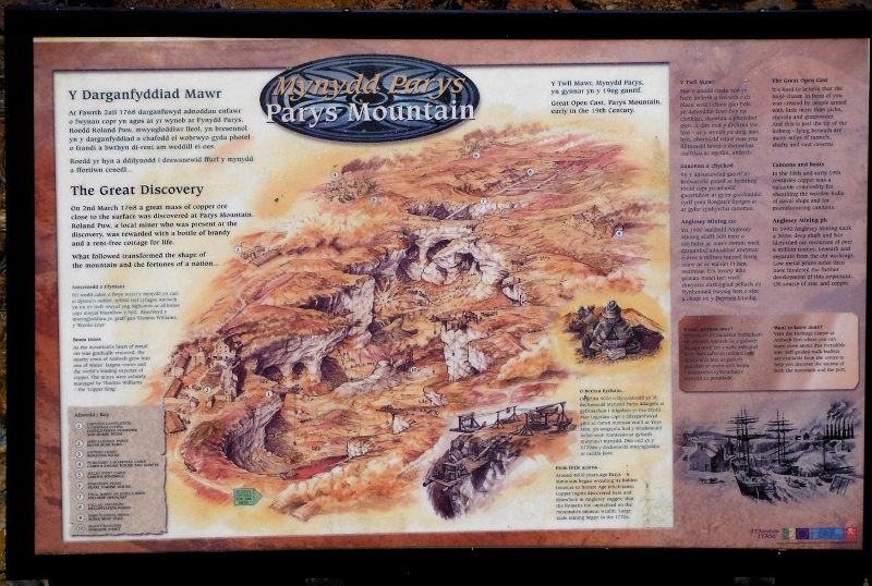
I didn`t find it until I was nearly finished, but there is a very good observation platform with a big sign that shows the whole site and lists many of the features.
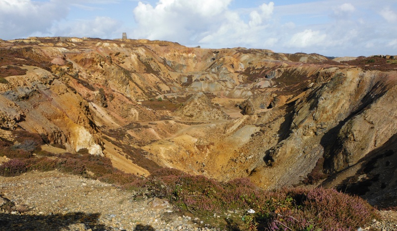
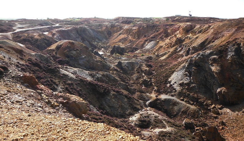
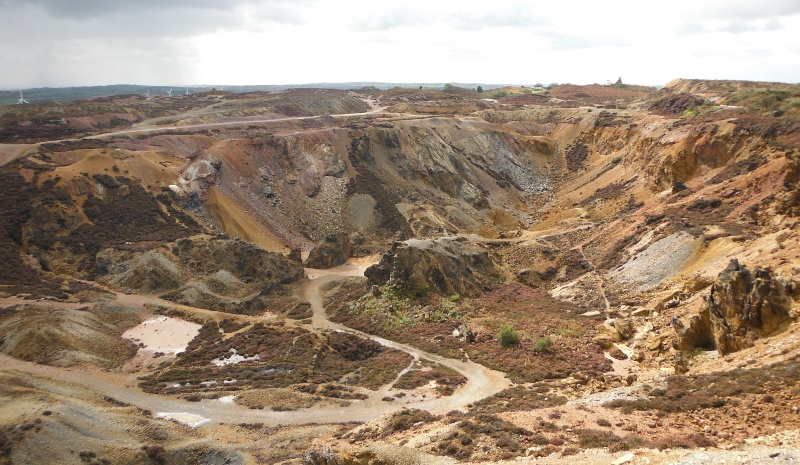
There is indeed a large hole in the ground - a very large hole - this is known as the Great Opencast - and it is amazing to think that it was all dug out with pick axes and shovels and buckets and hoists, although they did use some explosives as well.
But no diggers or excavators or machinery - here are a few views of it taken from above -
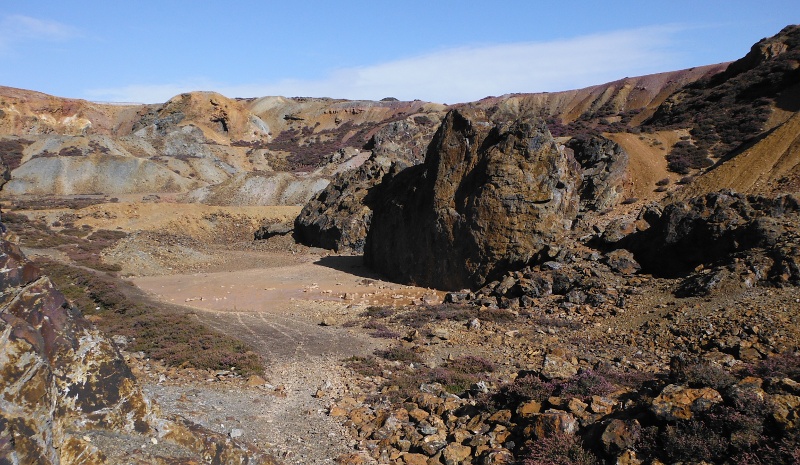
It is quite easy to get down to the floor of the Great Opencast - this is a general view taken from the floor -
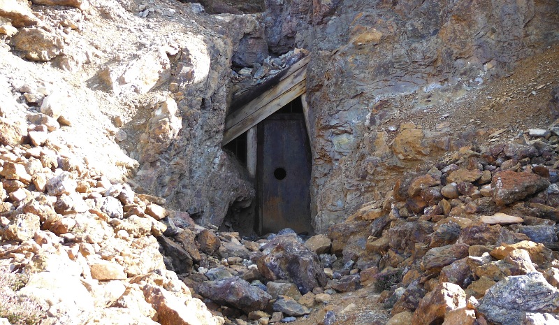
There looks to have been a tunnel off it - but a steel door prevented further investigation -
Round the corner there is another opening - much larger, but again, no possibility of investigation because it was filled with water.
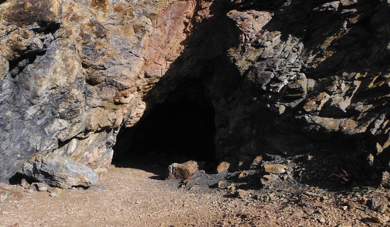
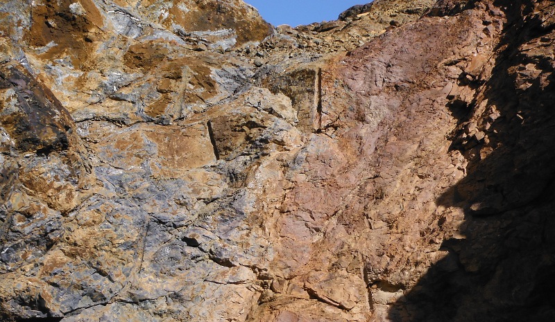
Some obvious drill marks above the opening - I wonder what they used to drive the drills - were they driven by man power alone - that would be soooooo slow ?
They obviously didn`t have electricity, because it hadn`t been invented - did they have some kind of water power or compressed air ?
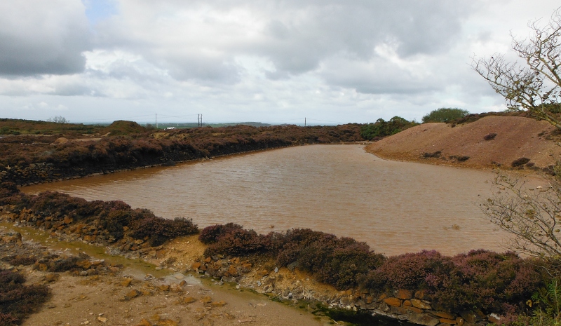
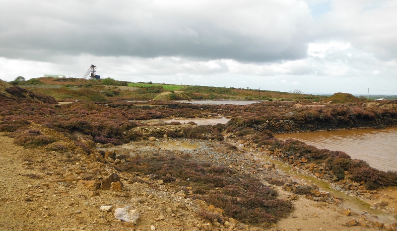
As part of the extraction process, the copper ore was treated in ponds known as Precipitation Ponds - the ones for Great Opencast are not really well defined now - or maybe I wasn`t in a good place to see them properly - but here are a couple of views of them.
In their day they were known as Copper Pits -
Now it turns out that there wasn`t just one quarry, there were two, and the second one was called Hillside Opencast.
It was much smaller than Great Opencast, and I didn`t see any way to get to the floor of it except sliding down a lot of scree, which I didn`t fancy.
I wasn`t really bothered, as there didn`t seem to be anything of interest down there anyway.
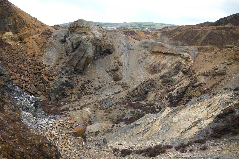
A couple of views of Hillside Opencast -
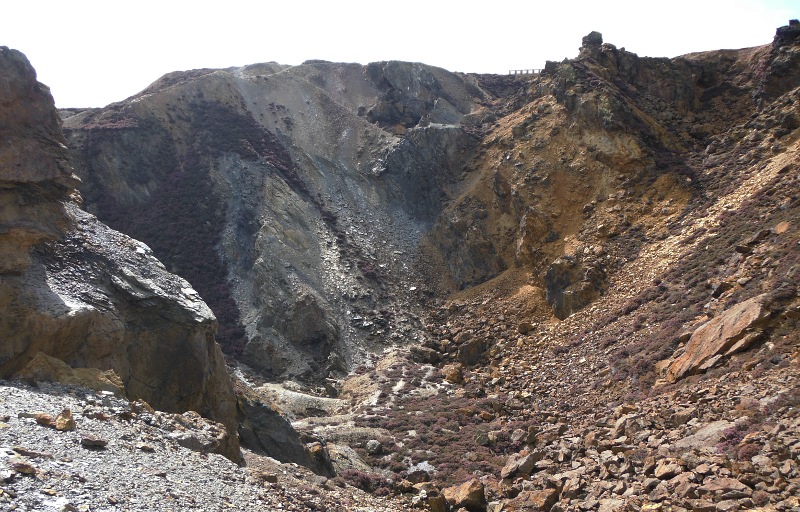
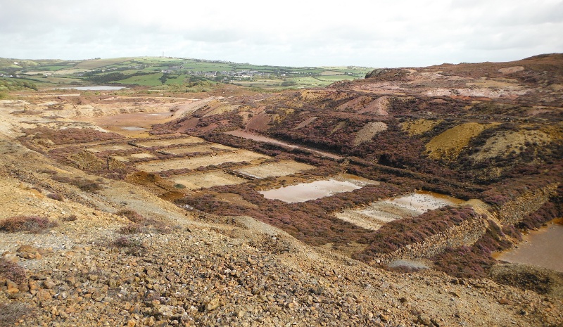
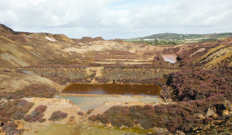
The Precipitation Ponds for Hillside Opencast are still very well defined - considering their age it is quite surprising how well preserved they are.
Now it turns out that there were two quarry operators - one of them was known as Parys Mine, the other was known as Mona Mine.
During their time as separate companies there was a constant dispute between them about who owned what bit of land, and there were several different owners of each of the companies.
In 1899 the two companies combined into one to form Mona and Parys Mines Ltd.
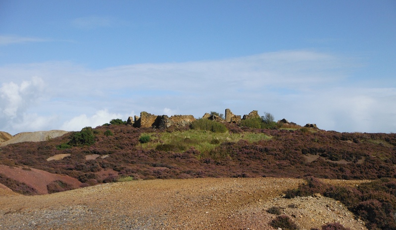
In their day, the two companies had separate administration buildings - these are the remains of the Mona Mine buildings -
I didn`t ever see the administration buildings for the Parys Mine, they were immediately to the west of Great Opencast.
I did find some other buildings, I don`t know what they were, they were to the north of the Mona Mines precipitation ponds.
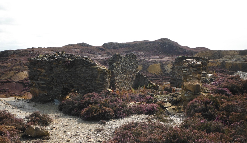
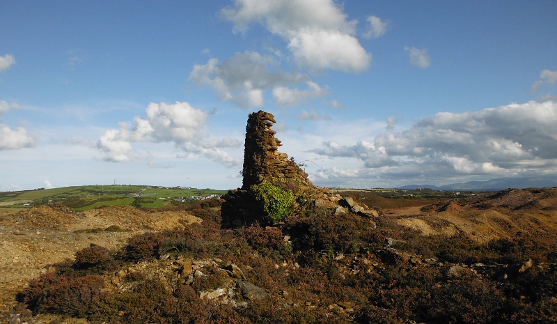
Another remains of something - I couldn`t work out whether it was the corner of a building, or the bottom of a chimney.
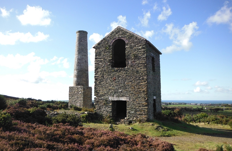
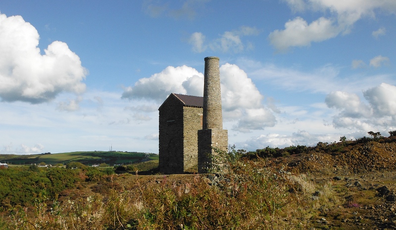
There was quite an influx of Cornish miners to the quarries on Parys Mountain, and one of their legacies is the Cornish beam engine housing away over at the back of Parys Mountain - the website amlwchhistory.co.uk refers to it as the Pearl Engine House - it has recently been nicely restored, and is designated as a Scheduled Ancient Monument -
Now a very important find was the remains of the windmill, which was a major power producing facility -
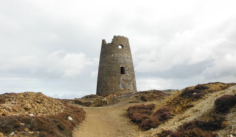
It is right up on top of the hill, so is a terrific viewpoint - from up there you can see most of the North Wales coast from beyond Great Orme, right along past the whole of Snowdonia, and right down the whole of the Lleyn Peninsula.
You can also see of course most of the north end of Anglesey - including out to the Skerries.
I took loads of photographs of the views, but they haven`t worked, it was just too hazy, so that was a shame.
Quite apart from the view, finding the windmill was important - for me anyway - because inside it there is a sort of visitor information point, with three big displays about the whole site.
There is nothing outside to suggest that it is an information point, and in fact it was only by chance that I found the way in - the obvious door takes you into a water filled basement.
A general display about wind power -
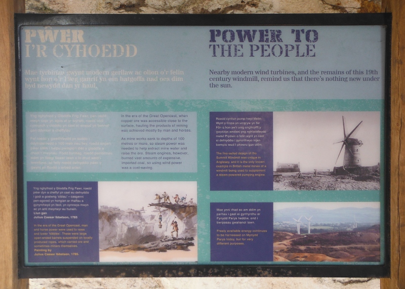
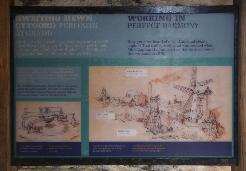
One about the windmill in particular, which was dual powered by both wind and steam -
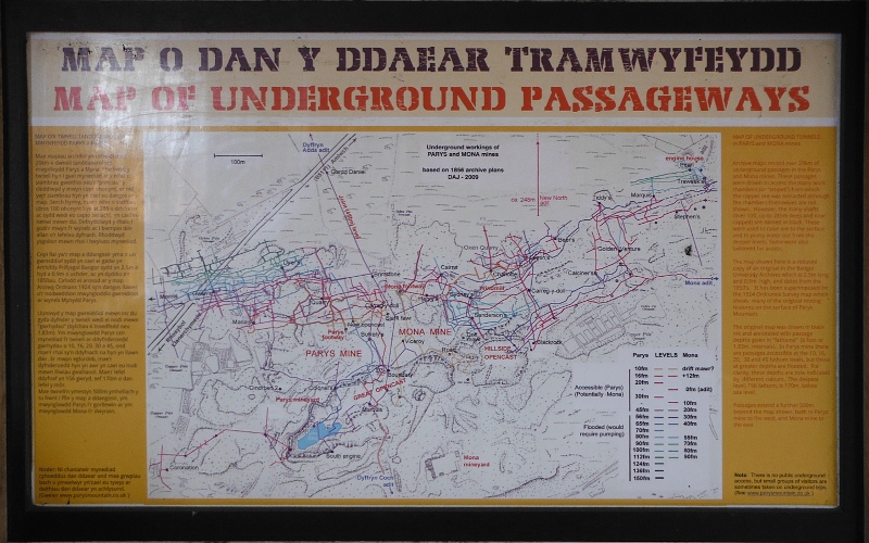
But the most important sign reveals that not only were there two open cast quarries on Parys Mountain, but there was also some 20 kilometres of tunnels underneath it, some of which go down below sea level.
The deepest shafts were 274 metres down, so although the top of the shaft was well above 100 metres above sea level, the tunnels were 170 metres below sea level - quite amazing what they did with pick axes and shovels two or three hundred years ago.
That`s about it - I was a bit taken aback by the size of the whole site, and as I said at the beginning, I wish I had known what I know now when I was there, my visit would have been a lot more productive.
There are a few websites about Parys Mountain which are worth a look for more information.
One website is www.coppermountain.co.uk, which is a general touristy orientated site.
Another one is www.parysmountain.co.uk, which is run by the Parys Underground Group, who do stuff in the tunnels - the website has good photographs of the tunnels - it looks as if it might be possible for people to join them for a tour of some of the tunnels - the ones that aren`t full of water, that is.
There is a fascinating webpage at www.almwchhistory.co.uk/parys/history.htm that has a very detailed history of the quarrying at Parys Mountain - there seems to be some kind of interlink between this website and the previous one, as you also get this page from the parysmountain.co.uk website.
The whole area is now owned or run by Anglesey Mining, and both their website at www.angleseymining.co.uk and other websites suggest that following some test boring, there may be some 6 million tons of zinc, lead, and copper still there plus some gold and silver, and if the price of these metals continues to rise, it may well be economically viable to open the mine up for new extraction - at a rate of 1000 tons per day, for 8 years.
So maybe Parys Mountain will wake up from its slumbers in the not too distant future.
That would have some pretty major effects on the Amlwch area, and on the rest of Anglesey as well.
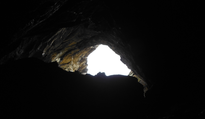
To end, a miner`s view of Parys Mountain -
