out and about - 2017
05 February 2017 ............ Late afternoon around Llanfairfechan
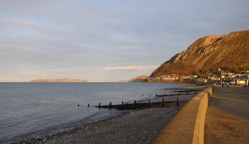
A good afternoon, and a bit of time for a trip along the prom at Llanfairfechan before it got dark.
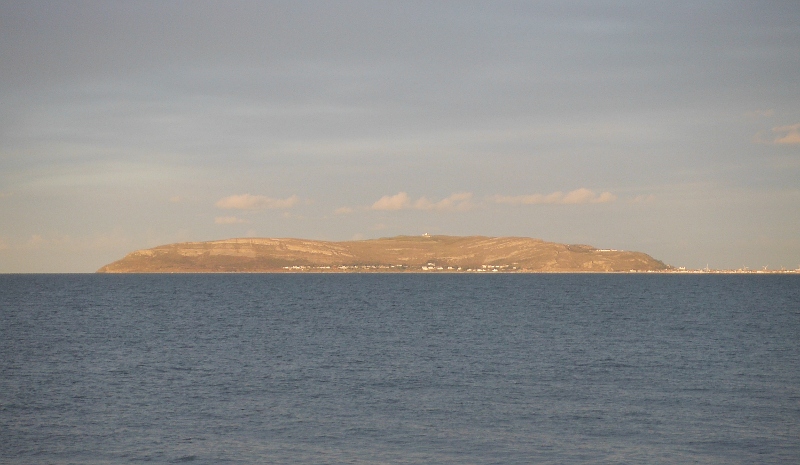
Great Orme was picking up the late sunshine quite nicely.
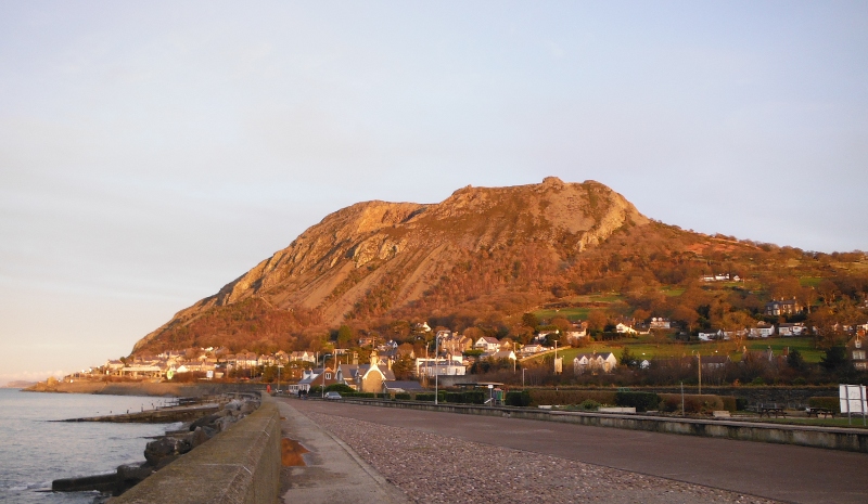
Further along the coast now, and Penmaen Mawr - the hill - was now catching the late afternoon sun as well.
It is a little confusing - Penmaen Mawr is the hill - Penmaenmawr is the village further along the coast.
Penmaen Mawr has had quarries on it for at least 5000 years - stone axe heads were made in a factory right up on the top of Penmaen Mawr and exported around the world.
Later, and millions of granite sets were made out of Penmaen Mawr granite, and used in cities all over the place, and then later again, the granite was crushed to provide ballast for railway tracks.
If you go wandering around the internet searching for stuff about Penmaen Mawr, you will find several pages that claim that Penmaen Mawr used to be 1500 feet high, but during the early part of the 20th century the top 500 feet of Penmaen Mawr dissappeared as the quarries swallowed up the hill.
Now note the sort of rounded nipple sticking up above the rest of the summit.
You get a good view across to Penmaen Mawr from the south east corner of Anglesey around Beaumaris and Penmon, and that nipple looks quite a bit higher from over there - or at least it certainly used to, I`ll have to check next time I am in that part of Anglesey.
An awful lot of years ago, when I was knee high to a grasshopper, I had several infinitely old relatives who lived around that part of Anglesey, and I was advised that the nipple sticking up was deliberately left there, as that was the original summit of Penmaen Mawr.
So who is right ?
They can`t both be.
Looking at the OS map, it shows the summit as a ridge - which is what you see - and the highest point is above the 420 metre contour line, so it is between 420 and 430 metres, or between 1377 and 1410 feet.
The nipple isn`t shown on the OS map, so it could be higher than these figures, and could be 1500 feet.
So maybe fact and fiction are getting a bit mixed up here.
Having walked away along to the east almost to the end of Llanfairfechan, and up and over the bridge over the railway, I thought I would see if I could find a way up Penmaen Mawr from where I was.
I did eventually find some paths that wound their way up and along through the big mass of trees that you can see along the lower slopes, but I was running out of daylight well before I ever got above the trees, so had to turn and come back down.
I think it will be well worthwhile for me to make a longer visit sometime.
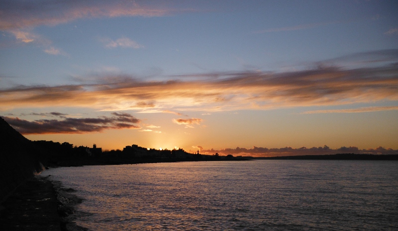
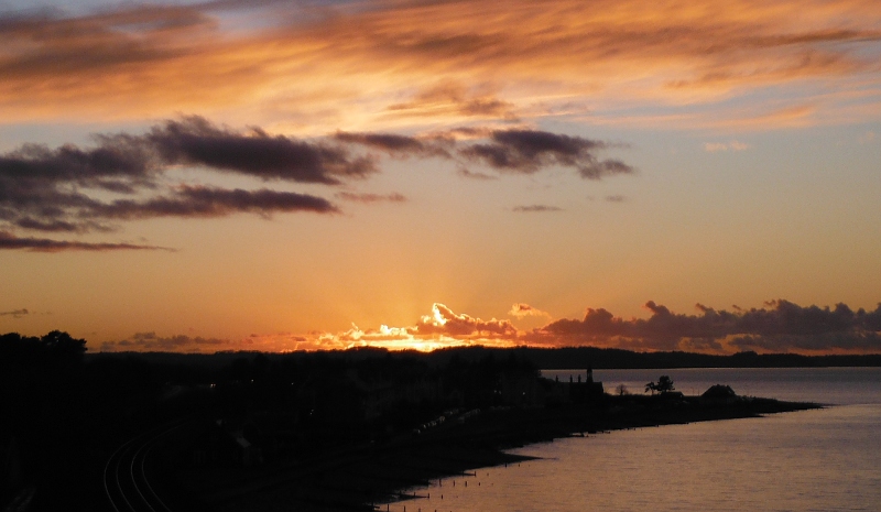
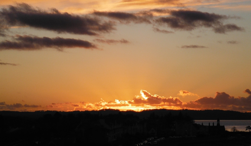
Back down at sea level again, and quite a good sunset to end the afternoon.
website design by ron-t
website hosting by freevirtualservers.com
© 2024 Ron Turner
![]()
![]()