out and about - 2016
20 July 2016 .............. Foggy Seil
After a night of thunder and heavy rain, the west coast was covered in a grey clag - and down at the bottom of Seil it was down to sea level.
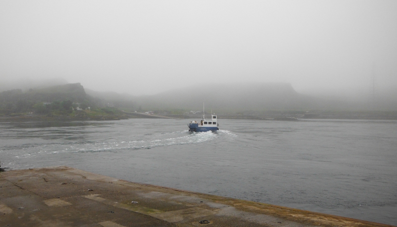
Down at Cuan, and the Luing ferry disappears into the fog.
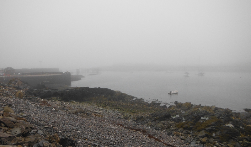
Round at Ellenabeich - and somewhere out there lies Easdale Island. And somewhere right in the middle of the picture is the Easdale ferry !
At least I could see the sign about the Argyll Sea Kayak trail - here are the two halves of it.
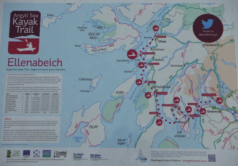
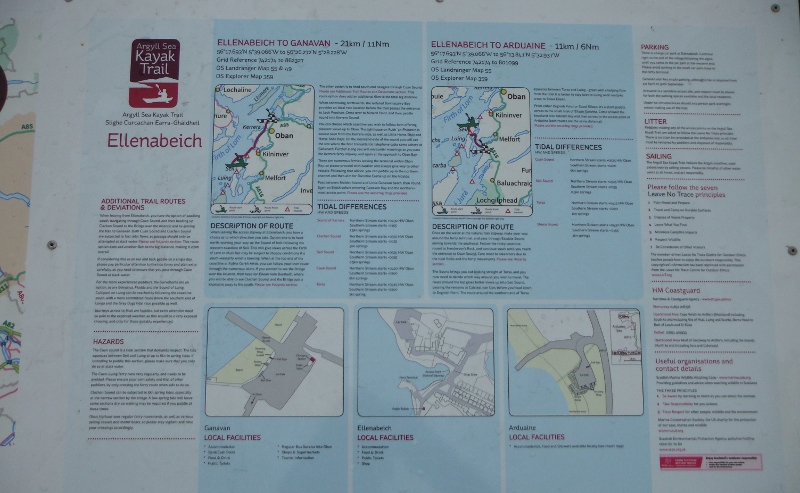
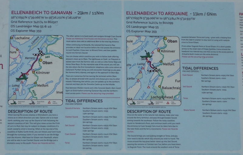
Here is a closer look at one part of it - there is some good tidal information here - however the trouble with summarising tidal information here is that it misses out two important bits of information.
The first is that in some parts of this area there can be a two hour difference between high or low water and slack water.
The other is that in many places around this area the fastest currents are in the first two hours after slack water.
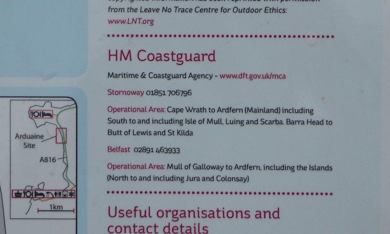
And lastly, a useful bit about the coastguard coverage of this area.
How sad to see that this area of the UK that probably has the most complex and fastest tidal currents in the country is so far from a coastguard station.
Doesn`t local knowledge matter any more ?
So if you are on the south side of the Corryvreckan, you need to speak to Belfast coastguard. If you are on the north side of the Corryvreckan, you need to speak to Stornoway coastguard.
And if you are caught up in the famous Corryvreckan whirlpool, the third largest whirlpool in the world - then as you whirl round and round half your conversation needs to be with Belfast, and the other half of your conversation needs to be with Stornoway !
