out and about - 2016
08 April 2016 .............. Worms Head
After my trip along the coast from Port Eynon to The Knave, I wanted to get out to Worms Head - now because it is linked to the mainland by a causeway which is only dry at low tides, you are constrained as to when you can get out there.
A few days later, and the tide timing was good, but the weather was a bit uncertain - there was a front coming in across the Irish Sea, and looking at the Rainfall Radar, I reckoned there was about 7-8 hours until the rain arrived at the Gower.
I went anyway, and the rain did hold off until about tea time, so that worked out okay, however it was quite a grey day, with thick grey cloud overhead all day, so the pictures are a bit lifeless.
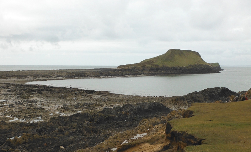
This is the causeway across to Inner Head - this is about half an hour after the causeway dries out, and since it was Springs, the tide has already dropped quite a lot.
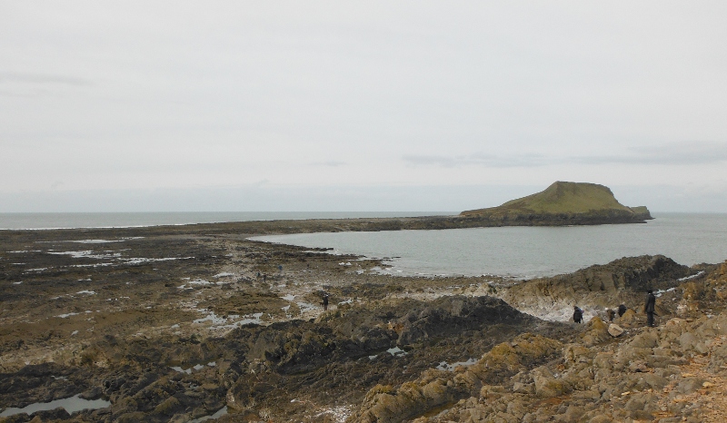
The causeway is slow going - there isn`t any kind of track or path - in places it is boulders, in places it is very sharp jaggy rocks, and there are loads of pools that you have to go round. So it takes quite a lot of time to get across.
I can see just how difficult it would be to cross it if the tide is starting to cover it, there is no way you could run across and beat the tide.
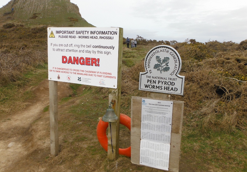
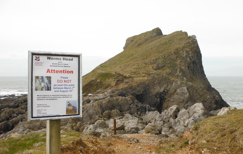
So I guess that is why the first thing you meet when you do eventually get across is these signs.
Worms Head has several bits to it, and Inner Head is quite a distinct hill. Up on the hill, looking back across the causeway - and you can see just how many pools there are that you have to avoid.
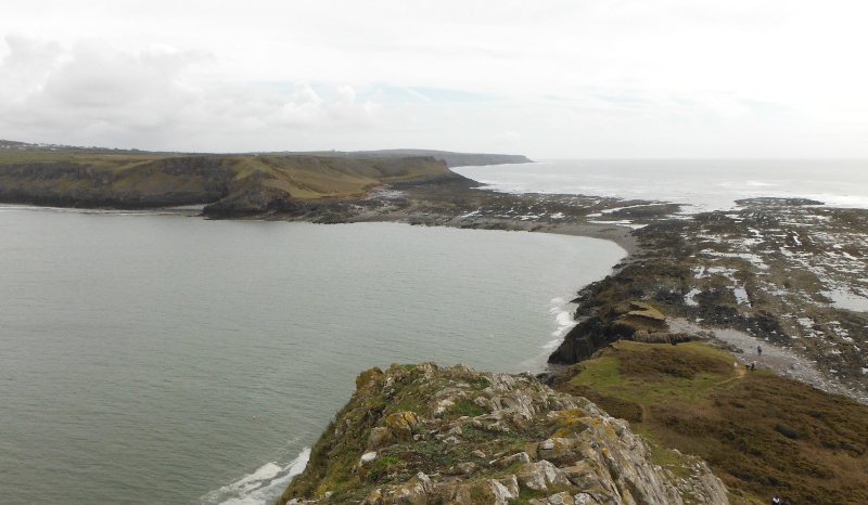
Up and over the hill, and looking down on the outer part of Worms Head, and there is another causeway to cross. You can also see a natural bridge across a large gap - this is Devil`s Bridge.
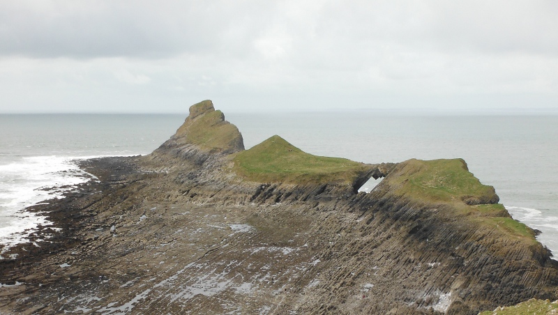
This causeway is shorter than the other one, but harder to cross - you are climbing up and over very sharp ridges of rock, and there is no let up until you are right across it.
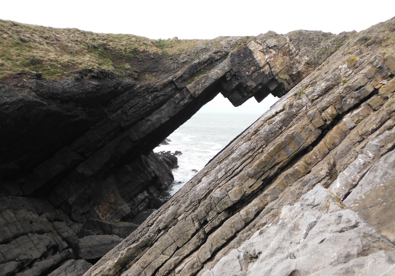
Once across, and up the grassy slope you get to Devils Bridge. Here is a closer view of Devils Bridge -
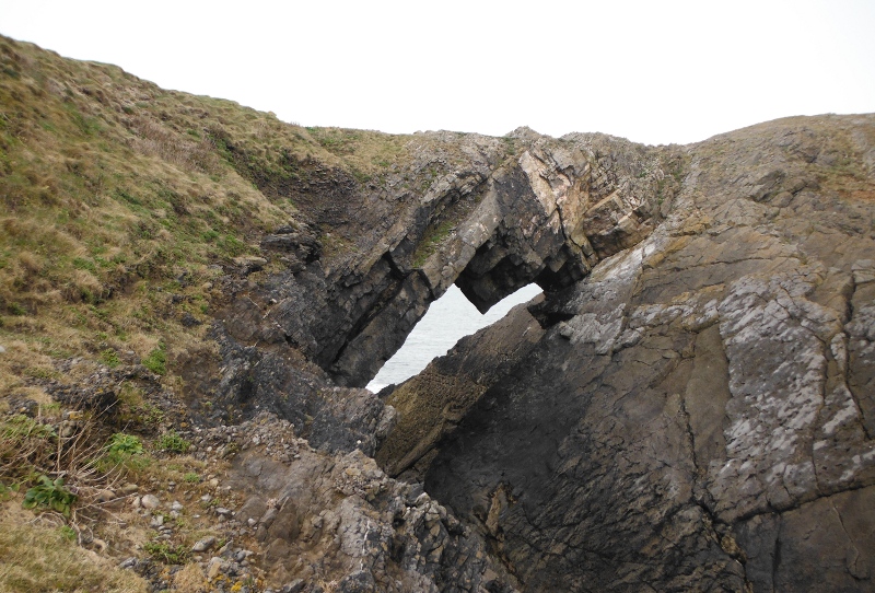
If you are into scrambling, you can get some other views of Devils Bridge - this is it from the bottom of the gorge.
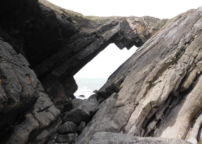
And from up the slab a bit -
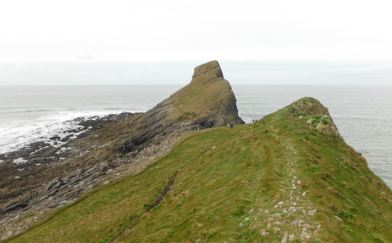
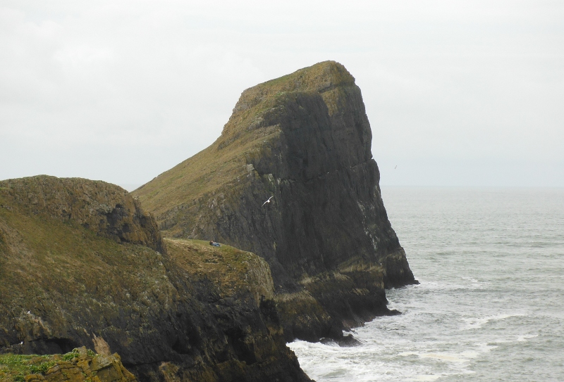
The outer section of Worms Head is in two distinct sections, this is up on the first part, looking across to the outer stack of Worms Head.
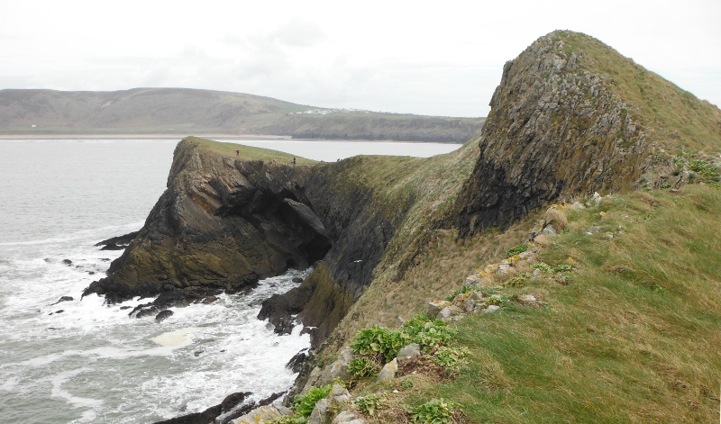
Down the other side of the hill, and another view of Devils Bridge from the other side.
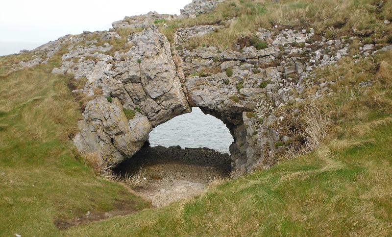
Down the hill a bit more, and there is another hole - much smaller, but you can just stand up in it. The far side of it is a sheer drop down to the sea.
Down the hill a bit more, and that was the end of the way - the National Trust seems to like signs, and here was another one, so I couldn`t get out to the outer stack.
Heading back, and looking along the cliffs of the outer section of Worms Head.
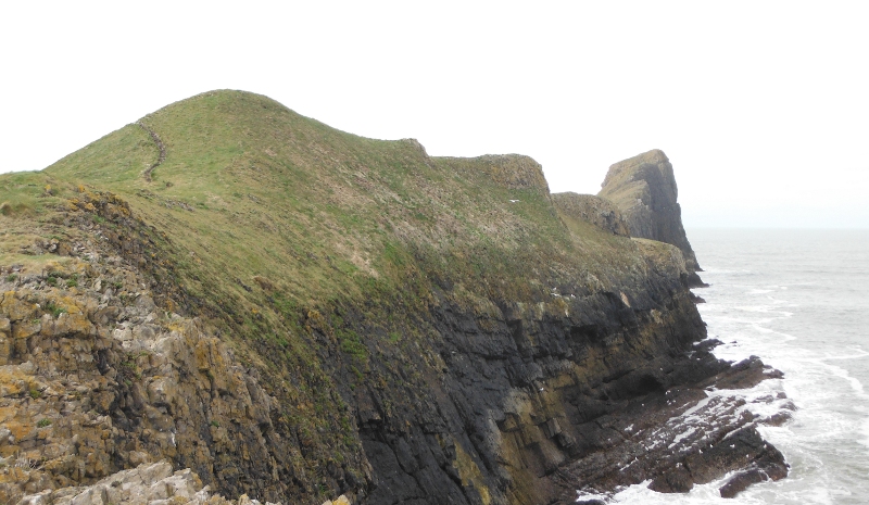
Look at the cliffs along the side of the stack.
Looking back across the outer causeway -
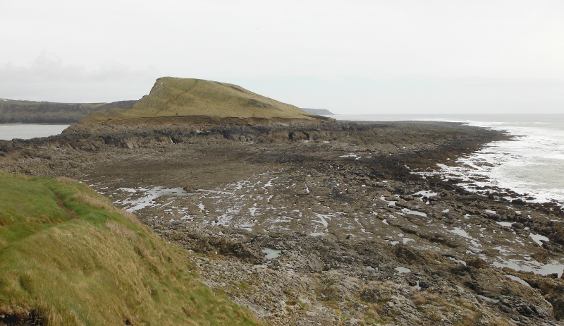
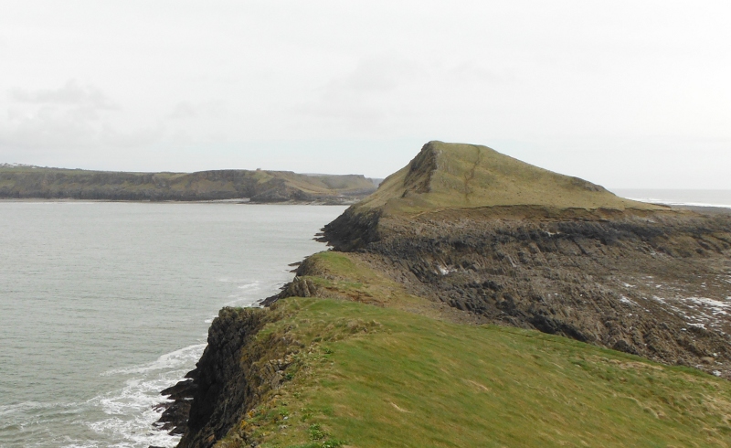
Up and over the Inner Head, and looking back across the inner causeway, and the tide has dropped a bit more - I think that this would be around low tide; since it was Springs, this would be quite an unusually low level for the tide.
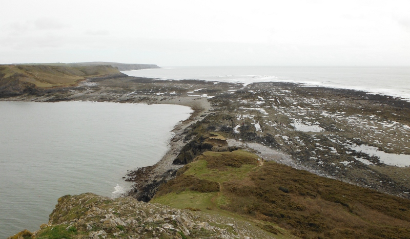
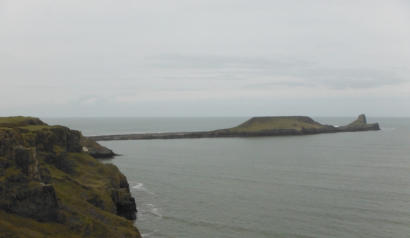
Safely back on terra firma, and looking back along the causeway - when you think that in a couple of hours the whole causeway will be covered, and you look at the height of the causeway above the sea, it gives you some idea of the tidal range around here.
An interesting trip out, and surprisingly time comsuming. It takes a lot longer than you think it is going to.
