out and about - 2016
02 April 2016 .............. St Donat`s to Llantwit Major
After a wet morning the sun came out around lunchtime, so I headed off to St Donat`s to do the bit of the coastal path from St Donat`s along to Llantwit Major. It is quite a short section, so was ideal for what was left of the day.
The walk out was farly predictible, but the return journey proved to be completely different to what I expected.
From St Donat`s a fair bit of the path suffers from the same characteristic as the coastal path between St Donat`s and the lighthouses at Nash Point - the path lies in a gully between the fields and the edge of the cliffs, except the cliff top has a sort of wild natural hedge all along it, so there is no view, and the path is horrendously muddy in places.
Eventually it opens out a bit, and at one point the cliff face has collapsed, and taken the path with it, so there is a diversion through a field - the fence has been taken down, so the diversion is official - so I guess it is good of the farmer to allow the diversion through his field.
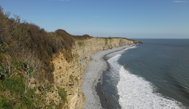
Just after that there is a wider flatter area, and you can go down and stand right above the cliffs - this is looking back along the coast - I don`t think these cliffs have quite the drama that the cliffs beyond Nash Point have.
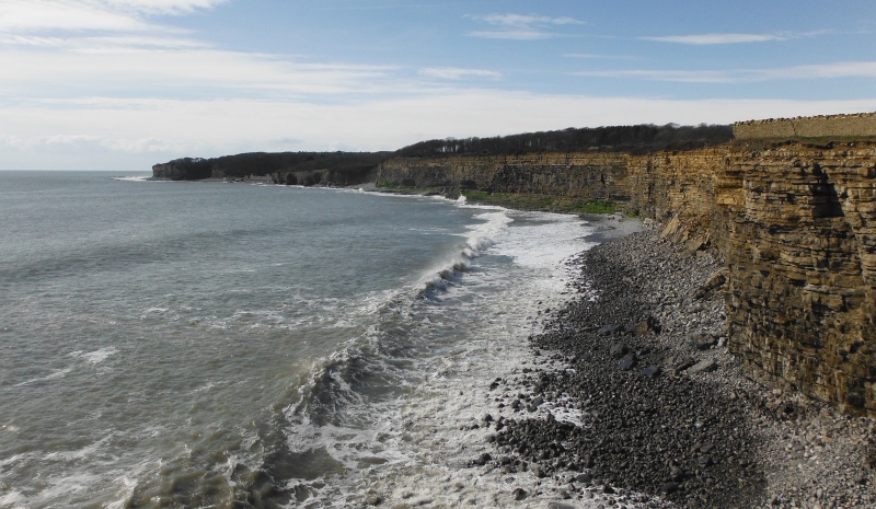
From the same place, looking further along the cliffs past Llantwit Major - the further stoney beach is the beach down the road from Llantwit Major - at lower tides there is a great long sort of stone / sand bar that stretches away out to sea - it makes launching a boat from Llantwit Major a bit of a no-no at lower tide levels.
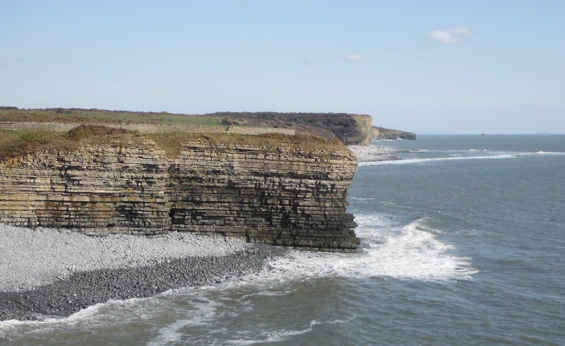
The path wanders its way along the cliffs, sometimes high up, sometimes it drops right down and provides access to the two stoney / bouldery beaches that break up the cliffs.
Sometimes the path is dry, sometimes it is very wet and muddy, so it isn`t perhaps the most enjoyable coastal path, and eventually you get to the beach below Llantwit Major, with its huge car park, hundreds of people, and the smell of chips and barbecues polluting the air.
Yuk !!!!
So it was straight across the beach, and up the cliff path on the other side - more very muddy bits.
Across a field, and it appeared to dry out - then you come to some trees, the path drops down into a hollow through the trees - and - you can guess the next bit - more mud.
Enough - there was no fun in this, it is just a fight to get through the mud. Turned back, found a place above the cliffs to have a tea break - and had a tea break !
Looking back along the cliffs past the now drying beach at Llantwit Major.
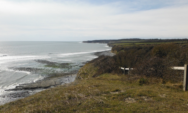
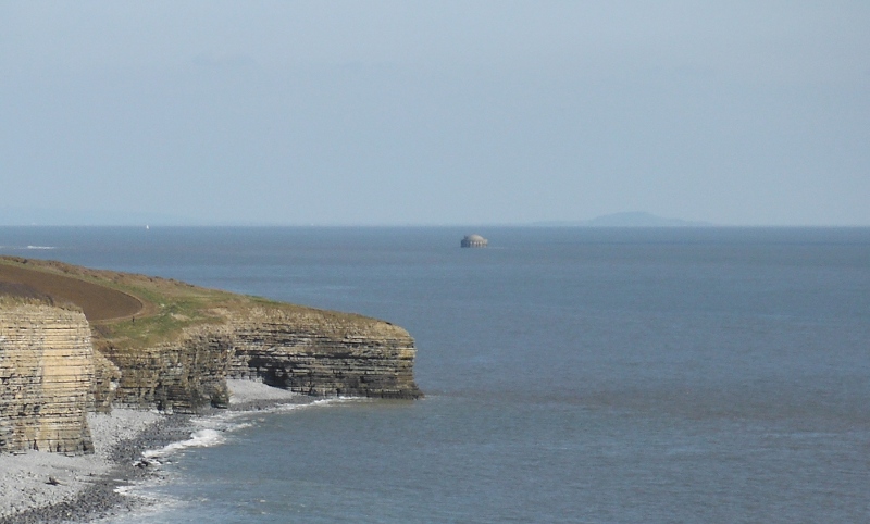
From not quite the same place, this is looking further along the cliffs towards what I think is Summerhouse Point.
Now if you look closely at this picture, just beyond the far point there is some sort of structure in the sea - I was curious about what it was, so later did a Google search, and it is a caisson which is the start of a pipeline that conveys cold water in to Aberthaw powerstation.
When it was built, Aberthaw powerstation was the most advanced coal fired power station in the world.
Nowadays of course it is suffering from the same fate that the rest of the coal fired power stations in this country are suffering from, as our completely looney government tries to pretend that Britain can run on renewable energy and smart meters, whilst the rest of the world is building coal fired power stations as fast as they can.
Renewable energy is good, however shutting down conventional power stations left, right, and centre isn`t really a good idea if there is no generation capacity elsewhere to replace them.
Enjoy the power cuts - they are coming to your home soon !
Here is a long focus view of the caisson, or as long as I can do with my compact camera - I need one of these great big long telephoto lenses - and a camera to go with it !
Time to head back - and now things changed - because I realised that the tide had gone far enough out that I could go round the base of the next headland after the beach at Llantwit Major, and I wouldn`t have to go back along that bit of the coastal path, which was quite a muddy bit.
Great !
Well it turned into a fascinating journey, because the tide was continuing to drop, so I got about a kilometre along the beach below the cliffs - beach isn`t perhaps an accurate description - sometimes it was stoney, sometimes it was big boulders, and sometimes it was big slabs of rock and rock pools. A lot more fun than sliding through the mud up on the path.
Even better - I found that this bit of coast is cave city - I counted 13 caves in that kilometre - some of them were relatively small, some quite big. But I got into every one of them, and took a picture looking out.
If you don`t like pictures of caves - tough !
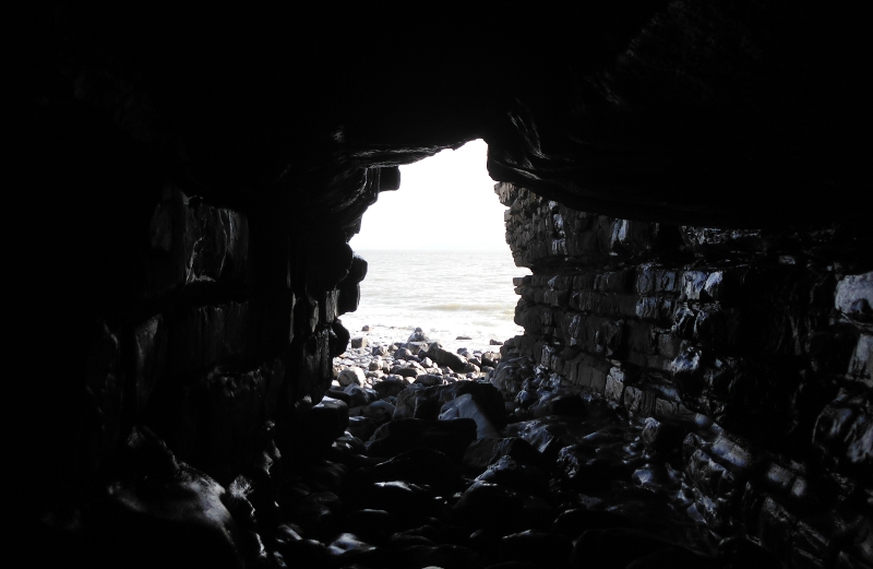
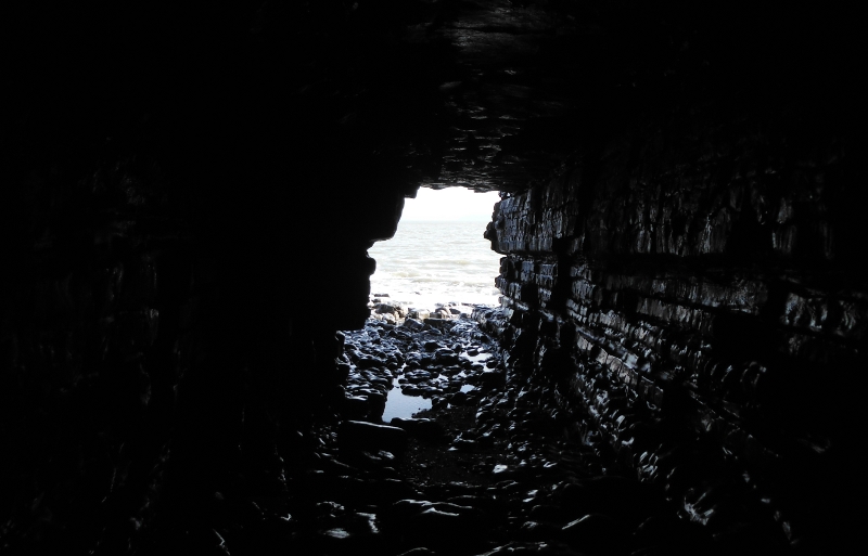
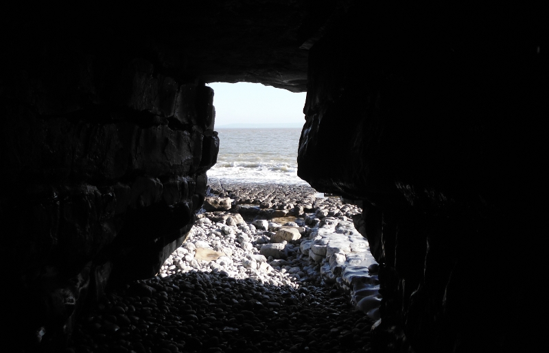
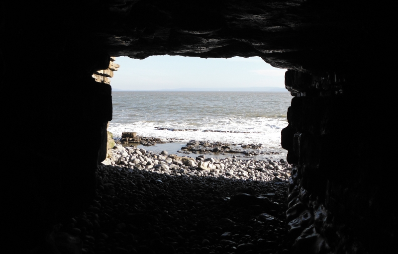
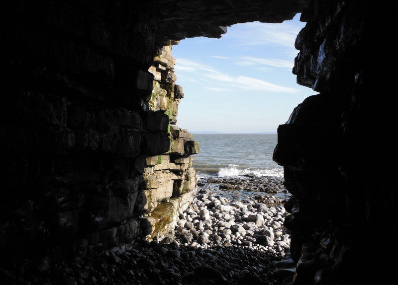
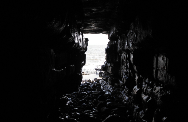
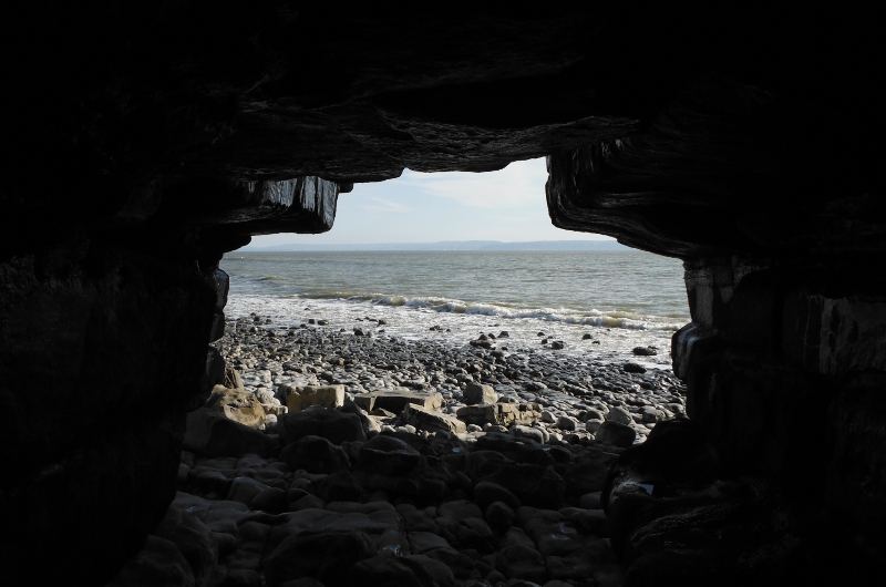
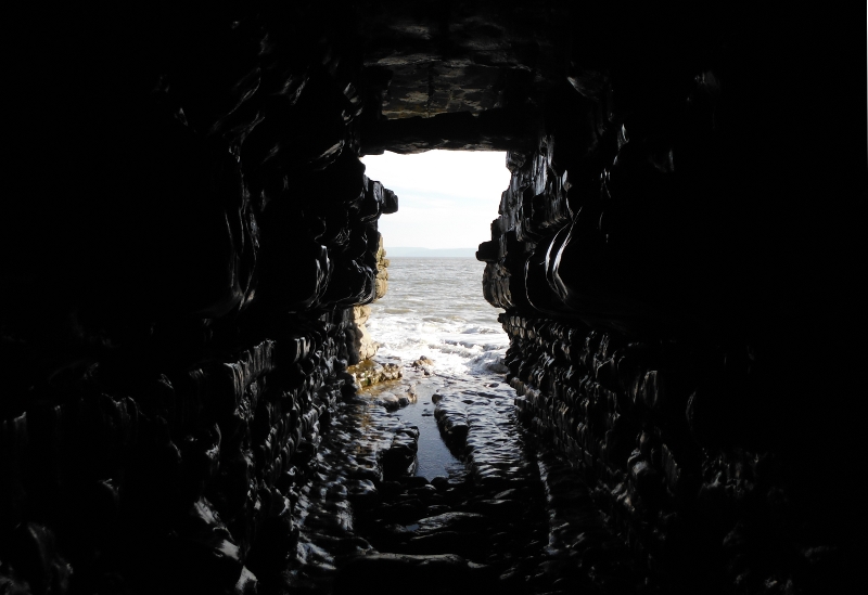
These next two caves appear to be have been taken at an angle, but in fact it is the caves that are at angle, as you can tell from the horizon.
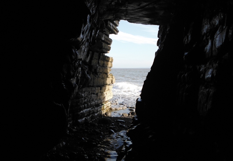
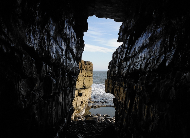
Another cave -
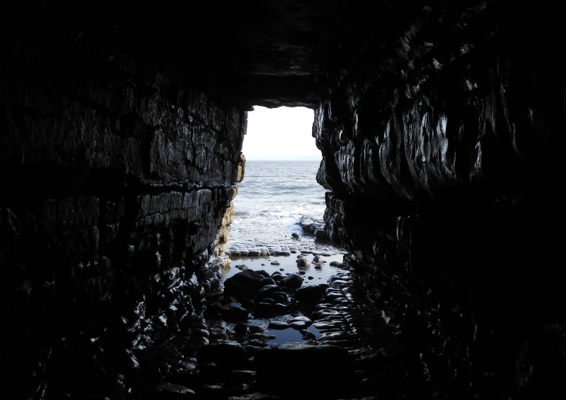
Then there is a cave with an upstairs landing -
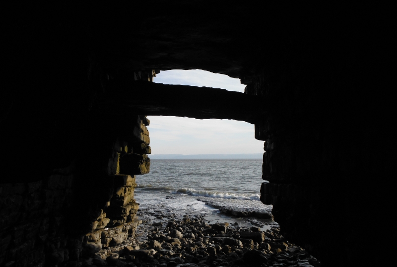
Not only did it have an upstairs landing, it also had a side door -
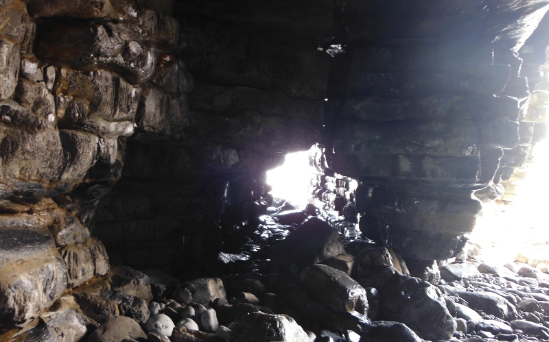
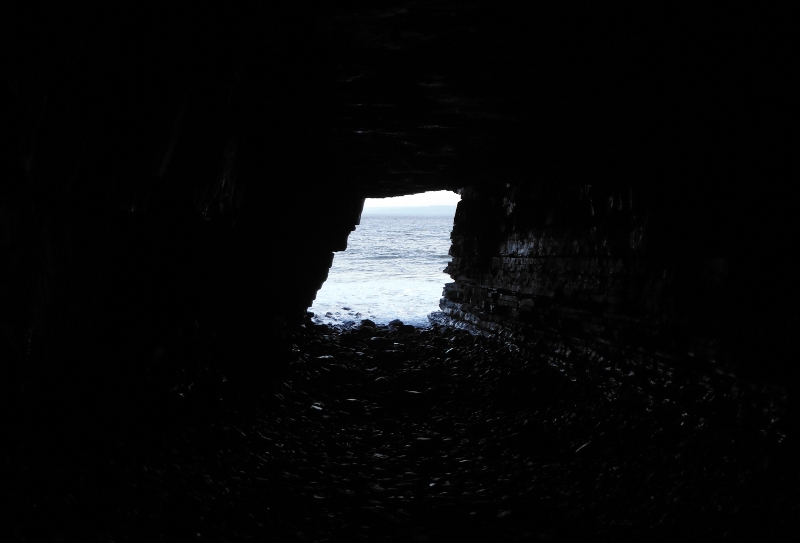
This is the last cave I found, although there may be more - I couldn`t get round the next headland because the tide was still too high. This photograph is quite misleading, it looks like quite a small cave, but in fact it was quite big, easily the biggest cave along that bit of the coast.
It was both wide and deep, so the entrance you can see is quite a long way away - a good end to a superb bit of coastline, and great fun.
