out and about - 2016
25 February 2016 .............. Arduaine
Later in the day, and I am down the road to the south of Oban, and ended up at Arduaine - and it was good to see that Argyll and Bute Council have been a bit more committed to the Argyll sea kayak trail at Arduaine - they have created a car park specifically for kayakers, and it gives direct and unequivocal access to the slipway.
There have been some access problems there in the past, so they should be at an end now.
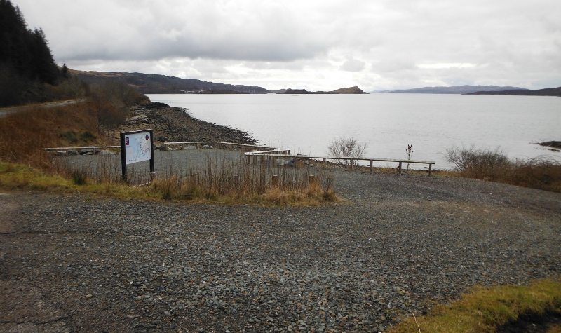
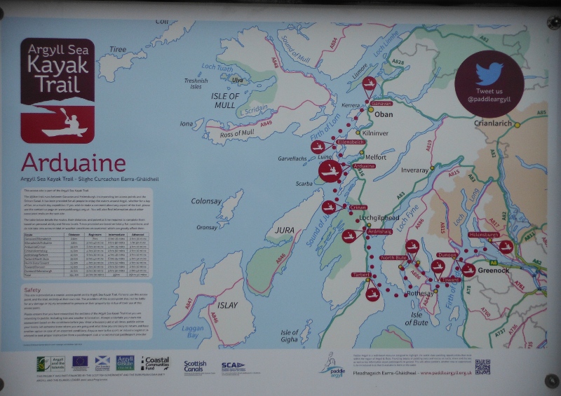
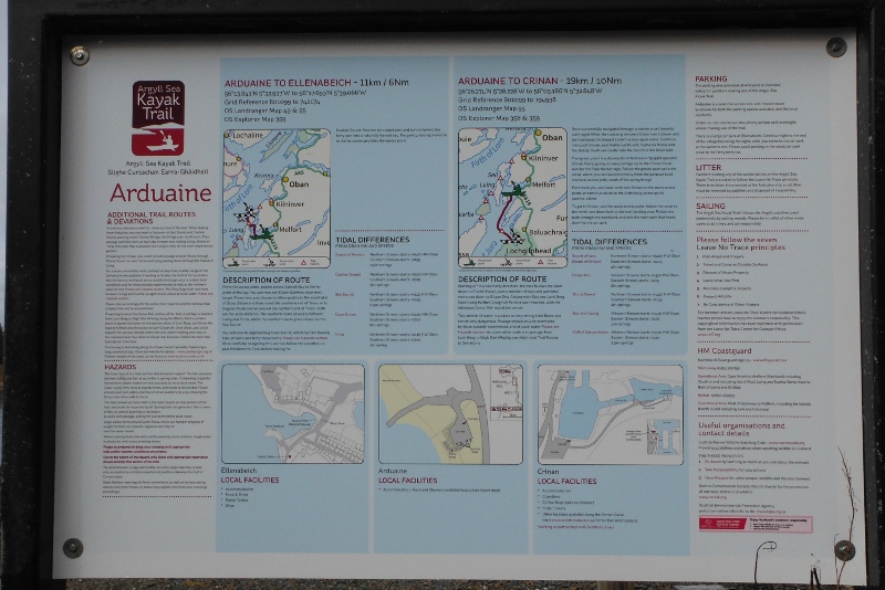
There are of course the same type of signs that are at Ganavan, with some good information about some of the risk areas, and tide timings.
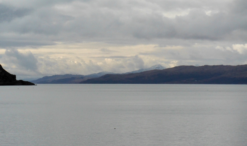
You get a good view from the car park looking down Jura, they are a bit faint, but the Paps of Jura have a bit of snow on them.
I was wondering if I could get a better view of the Firth of Lorne from up on a hill, so I went down the coast a bit, and climbed up Mullach Dubh above Craobh Haven.
I did get a view - a very good view in fact - of numerous islands around that area of the Firth of Lorne - the only problem was that I wasn`t really high enough, so the islands sort of merged into each other, and it was quite hard to work out what I was seeing.
Here is a wider view -
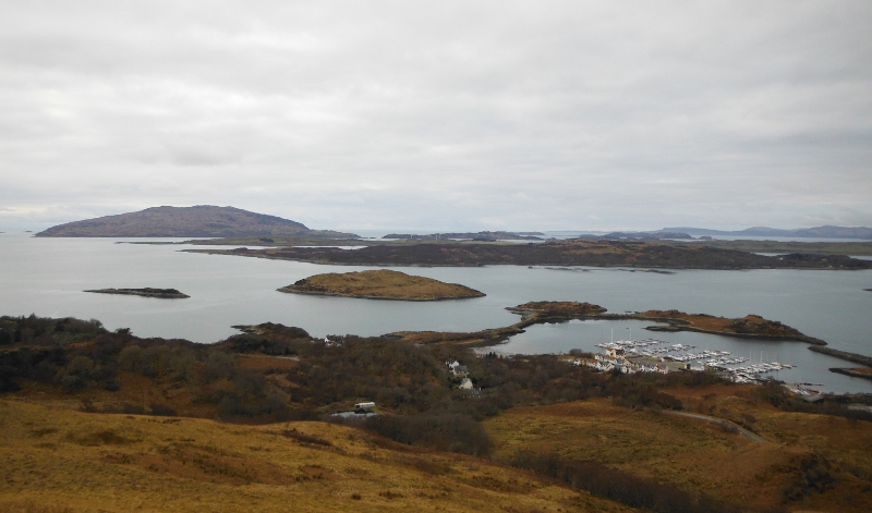
So I think that what we are seeing is this :
- the small green island just out from Craobh Haven is Eilean Arsa
- behind it the long island with all the trees is Shuna
- behind that is a long flat green island which is Luing
- beyond that on the left is Scarba, then Lunga
- it doesn`t seem possible to distinguish Belnahua, Fladda, Eilean Dub Mór and Eilean Dub Beag
- I am assuming that the long chain of islands at the back is the Garvellachs
- away in the distance is Mull.
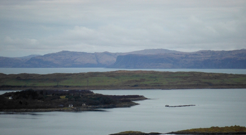
Here are a few long focus pictures of various parts of that view, though my camera was struggling to get decent pictures - I think it is coming to the end of its useful life !
First of all, this is looking across the top end of Shuna, then Luing, and across to Mull - I think that the rather good looking cliffs are Rubha na Faoilinǹ
A bit round to the left, and a closer view over Shuna and Luing to the northern end of the Garvellachs, with more cliffs on Mull right at the back.
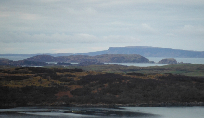
And finally Scarba, with the Corryvreckan on the left, and the Grey Dogs on the right.
This view of the Corryvrecken is a bit deceptive, because we are looking diagonally through them, the small island that you can see is Eilean Mór, which is down the side of Jura, not in the middle of the Corryvrecken.
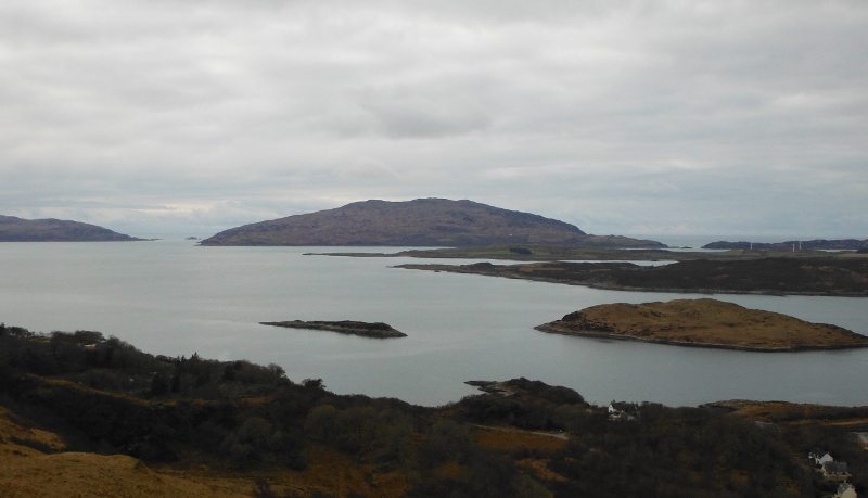
Looking out over these islands has rekindled my desire to do some specific things. I want to say hello to the Corryvrecken, I want to paddle across to Scarba and climb up to Cruach Scarba, and I want to get out to the Garvellachs. I have been round some of the islands here such as Luing and Lunga; I`ve "done" the Dorus Mór, the Grey Dogs, and Cuan Sound; but these trips are on my still-to-do list.