out and about - 2015
07 May 2015 .............. Around Porthcawl
A few images taken around Porthcawl on different days - here is part of the coastal edge of Porthcawl.
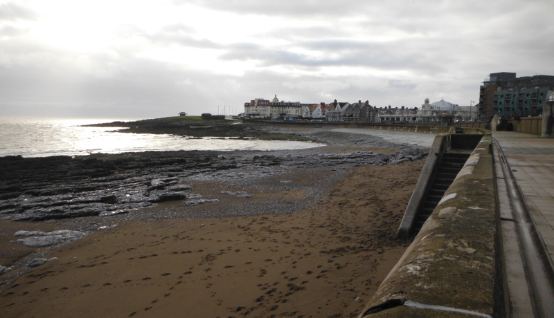
Just to the right of centre you can just see part of the famous Porthcawl concrete beach - actually it is now a tarmac beach.
I do wonder how they got a tarmac laying machine down onto it - I assume they didn`t do it all with wheelbarrows - that would be some job !
Here is another view of it - there is sign on the beach that says that swimming is dangerous - I think they got that right - that steep stoney stretch below the tarmac produces some lovely dumping waves.
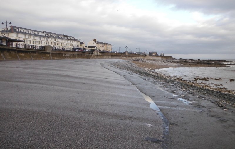
Here is a sight you don`t see very often - a completely empty Rest Bay - not a single person on the beach.
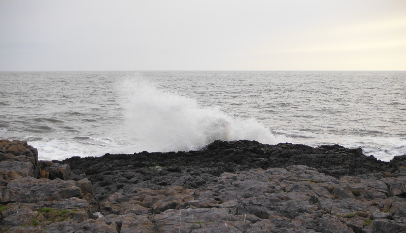
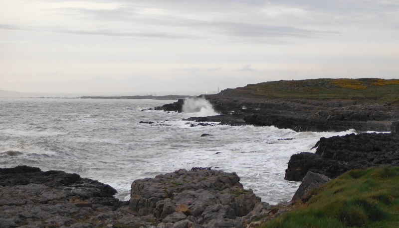
There wasn`t much of a sea, but it still managed to push up some good impacts with the rocks -
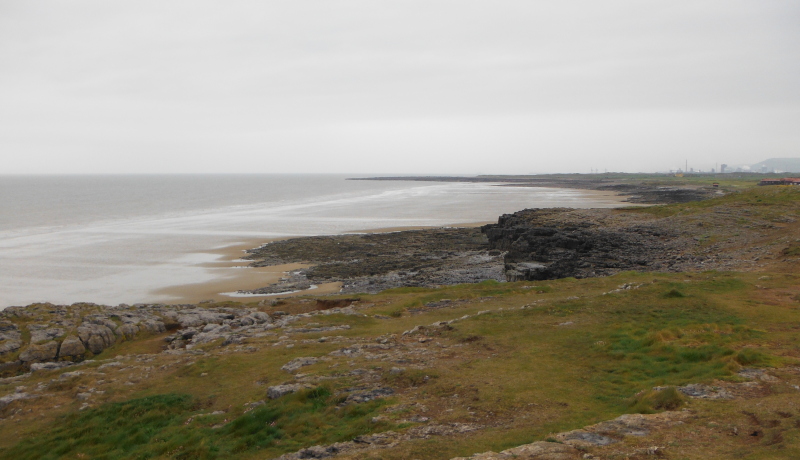
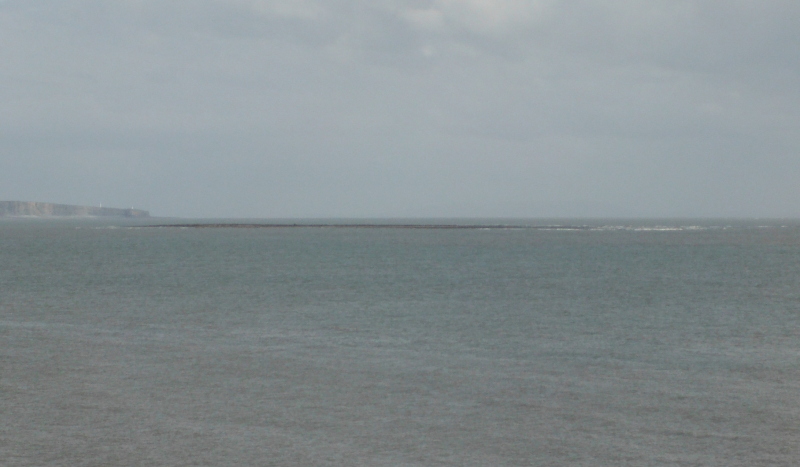
Out to the southeast of Porthcawl lies Tusker ( or Tasker) Rock - it is a large flat area of rock that mostly dries out at low tide.
According to my OS map it is nearly a kilometre long.
I believe that it can cause some quite meaty seas around it - it has taken its toll on shipping, there are the remains of a ship on it.
Further to the southeast, there is the fine stretch of cliffs that stretch from Dunraven Bay down to and around Nash Point.
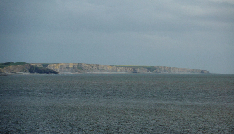
There could be some interesting sea kayaking around this area, but in a way there is a bit of a dichotomy here - to visit Tusker Rock it needs to be low tide, but the best paddling along the cliffs would I think be at higher tide levels, because at lower tides there is a wide flat uninteresting sort of rocky / stoney sort of beach along the foot of the cliffs, and you would be a long way out from the cliffs.
At high tide levels you should be able to get in close to the cliffs, and maybe get into the caves.
At least that is the situation that I think exists, but only from my brief visits on land to the area - I haven`t paddled any of it.