out and about - 2015
10 April 2015 .............. Llantwit Major
Llantwit Major is a small town further along the coast from Dunraven Bay and Nash Point, and is the furthest east that I went along the Glamorgan coast.
Down below the town there is a beach and quite a large car park.
And a word of advice - if you are ever going there to get to the beach, do not try and drive down through the town - that road has more speed bumps than you are ever going to get anywhere else in the world - how the residents put up with it I have no idea.
Go round the outside of the town to get to the beach.
Some of the photographs that follow were taken in the evening, and some were taken the following morning, so there is a difference in the tide levels.
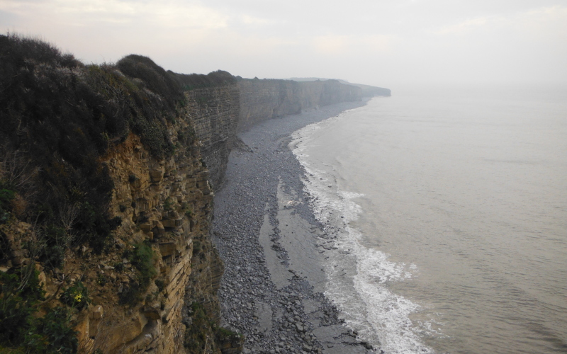
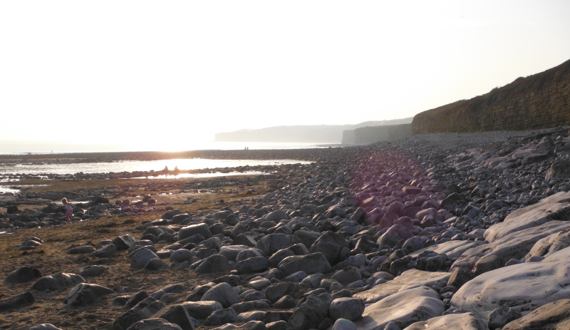
On either side of the beach area the coastline is dominated by cliffs - this is looking eastwards towards the start of the cliffs -
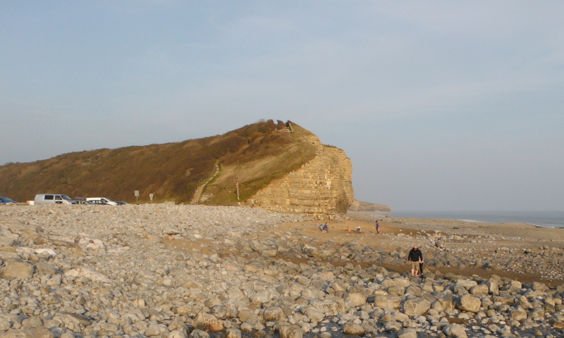
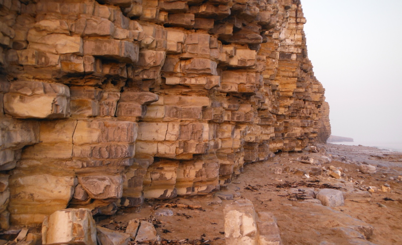
Here is a typical section of the sandstone cliffs below the green lump in the previous picture -
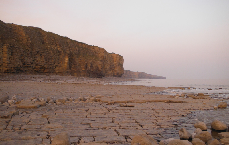
I am down by the water`s edge here at low tide, with another look along the cliffs - looking at the map, it could be that there are another 3 or 4 km`s of cliffs along the coast to the east of Llantwit Major.
Part of the way up the green lump, and looking down on the beach from above -
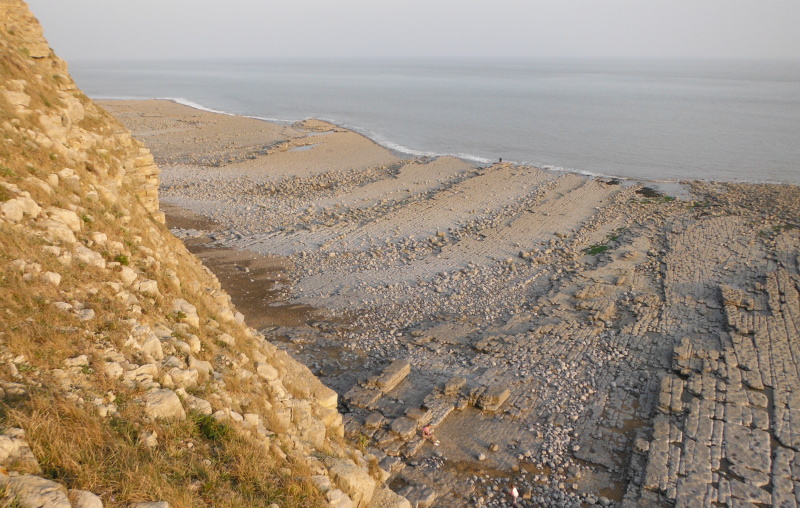
The coastal path climbs up and over that green lump, and if you keep going for a while, you come to a good vantage point to look along the cliffs from above - this was taken the following morning close to a Neaps high tide level.
Just about in the middle of the beach frontage, there is a short slipway going down to the beach - however as you can see, at low tide levels it doesn`t go anywhere near the sea, and you would be left with a long carry, or very bumpy ride if using a trolley.
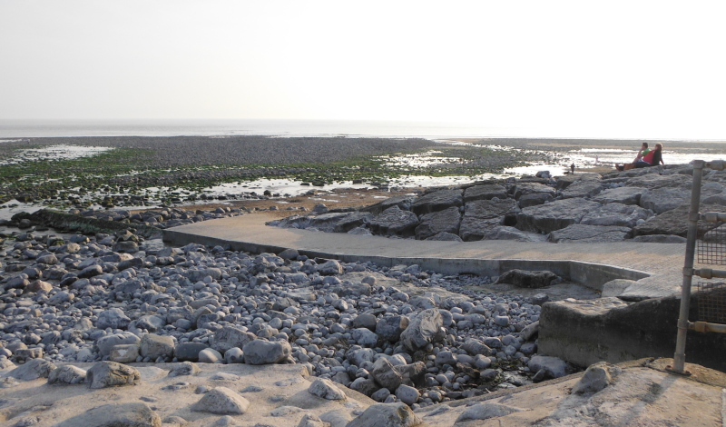
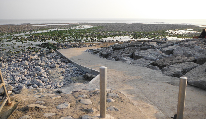
Here is another view of it taken the next morning - now as far as I can work out from various tide time websites, I took this picture about 1 hr 20 min before high tide 2 days before Neaps, with an 8.7 metre tide height at Porthcawl - so you could generally say that this shows a typical Neaps high tide level.
Springs high tide level would be 1 to 2 metres higher, so right up to the rocks.
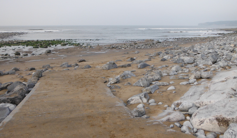
This big beach area at low tides isn`t really that much of a problem, because it seems to me that for the whole of this coastline, all the way from Ogmore-by-Sea right along to Llantwit Major and beyond, is dominated by cliffs which drop down onto beaches - so the best sea kayaking is going to be in the 2 hours before, and the 2 hours after, a Springs high tide - because that way you are going to get right in close to all the cliffs, rather than being pushed out by the large flat beaches you get at lower tides.
So if the launching is easier within this window, then that makes life a bit easier.
Within this time window, I think there could be some rather good sea kayaking all along this bit of coast - bearing in mind that this is the Bristol Channel, so strong tidal currents are the norm.
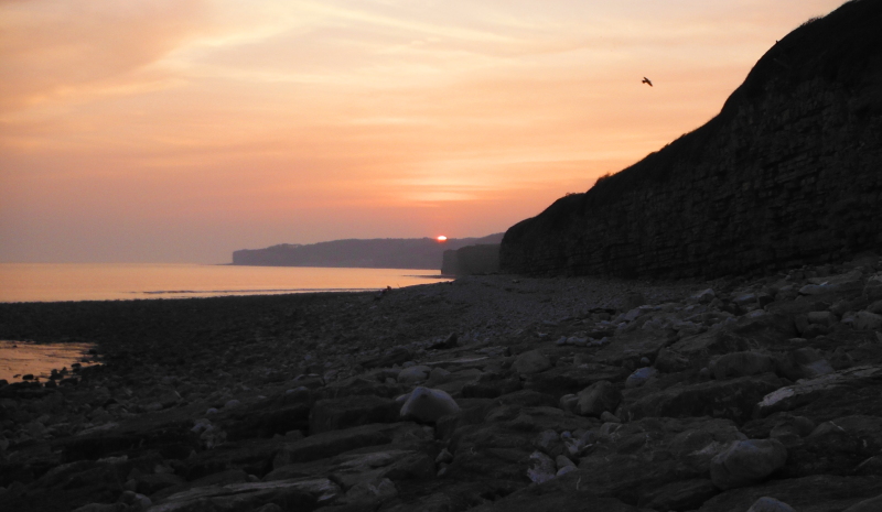
Back to the Llantwit Major beach - and now looking to the west, rather looking into the sun -
After taking several of the above pictures, I left the beach area, and went off to have a look at some other places around Llantwit Major, and got back to the beach just as the sun was setting beyond the far off cliffs -
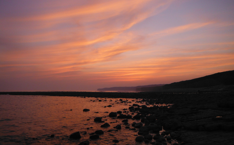
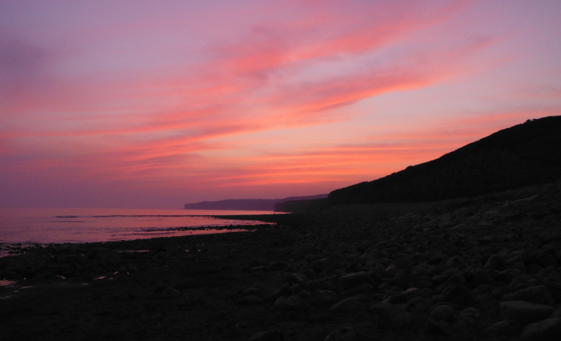
After the sun had set, there continued to be some fabulous colour in the clouds for quite a long time - a good ending for an interesting few days around the Glamorgan coast.
website design by ron-t
website hosting by netnerd.com
© 2025 Ron Turner
![]()
![]()