out and about - 2013
13 May 2013 .............. Rhoscolyn Head
Whilst doing the blog for my trip by sea kayak from Porth Dafarch to Rhoscolyn Head, I kept finding things that were confusing me. So I wanted another look. I therefore took the opportunity of using a showery windy day to take to the coastal path again, to see if I could see what was what.
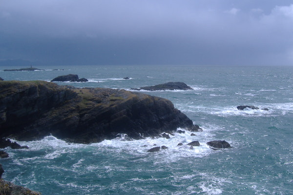
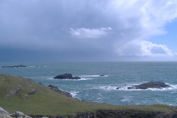
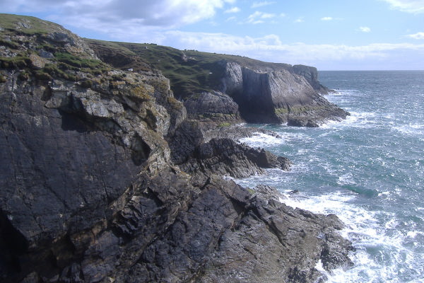
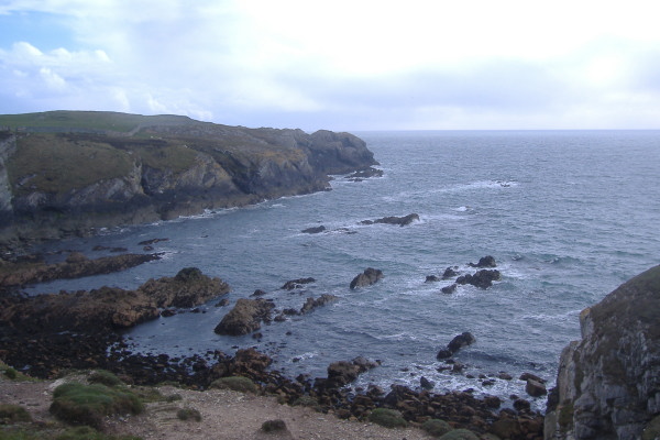
Just as my previous trip along the coastal path, the sea was quite rough around Rhoscolyn Head. Here are various views of the islands, and you can get an idea of what the sea was like - and also of the weather.
Looking in the other direction,
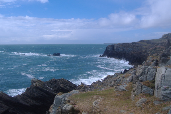
How is this for threatening weather ?
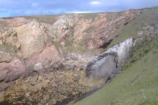
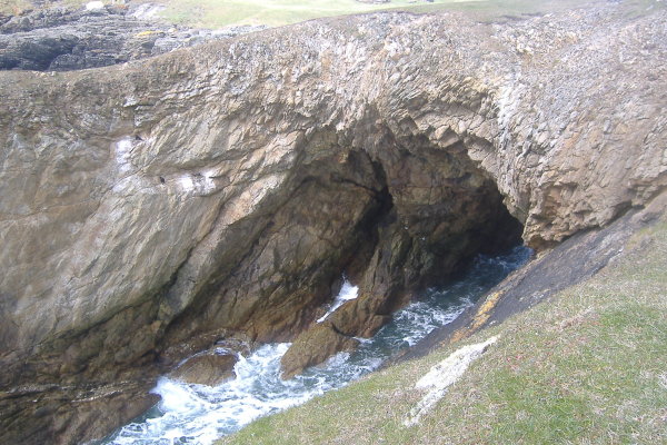
On the way round into the large bay a wee bit north east of Rhoscolyn Head, you walk right beside a huge slot that goes all the way down to sea level. I noticed it on my last trip along the coastal path - you can`t really miss it, it is right beside the path.
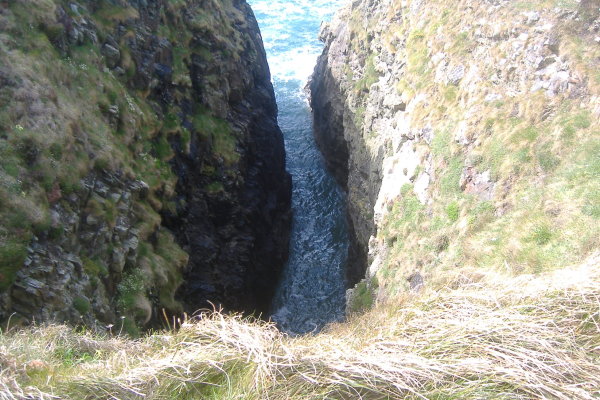
When I was on my sea kayak trip, I found that at the back of the slot there is an arch - and I didn`t understand why I missed this fact on my first walk along the coastal path.
Here is why - this is a photo looking across the bay towards the slot right in the middle of the picture - all along the path there is a high stone wall. The arch leads through to a sink hole or swallow hole - which is the other side of the wall. So you can`t see it from the path.
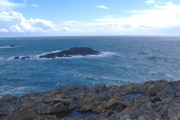
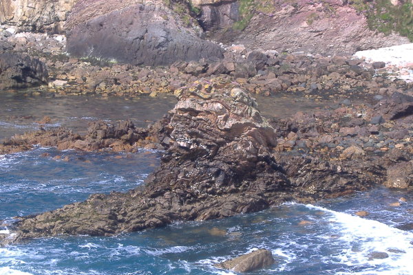
Further round into the bay, I noticed a strange shaped rock down in the bay.
Further round onto the next headland, and you come upon the high arch and the chockstone that I saw on my sea trip. Now how did that boulder end up on top of the cliff - the cliff and the stone are completely different kind of rocks.
You can just see the arch beyond the boulder.
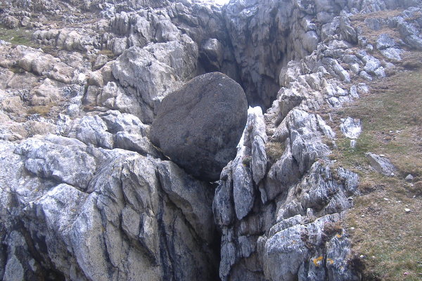
You can`t really see it, because there was no way I could get into a suitable position, but just in front of the boulder you can just see the rocks dropping down - this is a hole about 2 metres in diameter which goes all the way down to sea level. Because of its curved top edges, you can`t really get close to the edge to look right down it, but I could just see the sea down at the bottom.
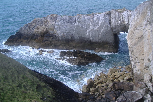
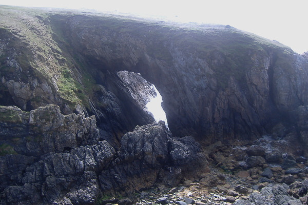
Round this headland, and you meet the White Arch. I couldn`t paddle through it because it was low tide - here is what it looks like with a bit of water. if there any kind of swell, all those boulders are going to make for a very confused sea.
The other name for the White Arch is "Bwa Gwyn", and according to one website, the white rock is quartzitic rock, not chalk or limestone.
Now here I can solve another of my queries - the bay and cave which I couldn`t indentify are immediately after the white arch - this picture was taken from almost the top of the White Arch. So on my sea trip, I must have taken the picture of the White Arch, then the picture of this bay, then tried to head through the arch. So that is that problem solved.
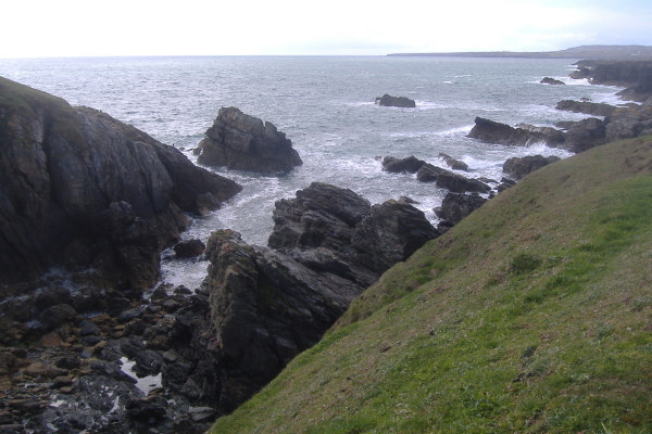
About 200 metres or so along from the White Arch you come to the Black Arch, or "Bwa Du". I saw this from the sea, but couldn`t get through it because it was low tide.
This is looking down on it from the cliff top -
Round the back it looks like this.
Now it looks as if it might be possible to paddle through this at high tide, but you would need to be careful about your route, there are a lot of rocks just out from the back of the Black Arch.
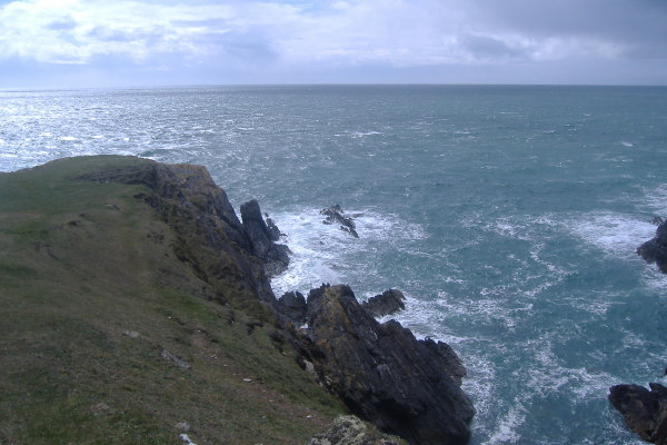
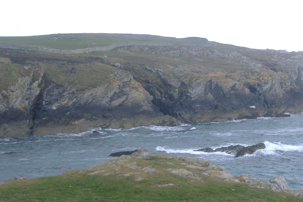
After the Black Arch you don`t go too far before the coastal path heads away from the sea, so I didn`t go much further. But to give you some idea of what the next bit of coastline is like, here is a view taken from further up the coastal path, nearer to Rhoscolyn Head.
The White Arch and the Black Arch are somewhere just off to the right of this picture, almost in the centre of the picture is Porth-y-garan, and the further away headland on the left is Ravens Point. So it is quite a dramatic bit of coastline, before you head round into Treaddur Bay.
Here are the sort of views you get as you head back up towards Rhoscolyn Head - the first one is looking up the coast from the Black Arch to the White Arch, and the second one is looking up to Rhoscolyn Head itself from the back of the previous bay.
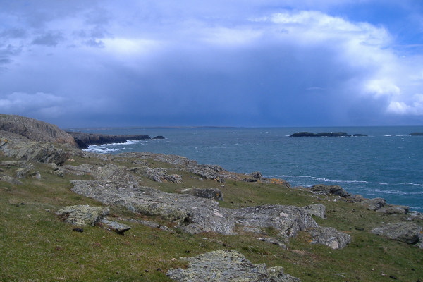
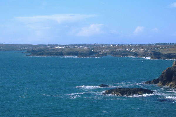
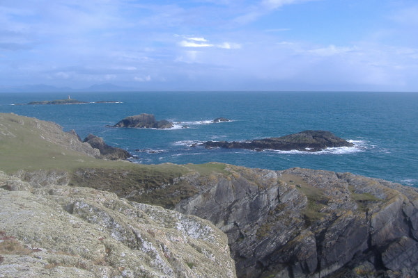
By the time I got back and around Rhoscolyn Head, the wind had dropped away, and the ebb tide had gone, so the sea conditions were a lot more user friendly - so was the view of the Lleyn Peninsula.
![]()
It was a good few hours out, and I am pleased to have solved the various mysteries I had after my sea kayak trip.
If you are thinking of paddling around this area, be aware that there are strong tidal currents all around Rhoscolyn Head and Rhoscolyn Beacon - and sea conditions can change quite dramatically in just a couple of hundred metres.
website design by ron-t
website hosting by netnerd.com
© 2025 Ron Turner
![]()
![]()