out and about - 2013
29 April 2013 .............. Benllech and Red Wharf Bay
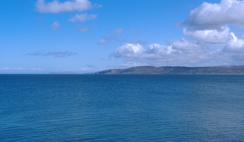
A few pictures of the area around Benllech and Red Wharf Bay - and there is a fabulous view from just up from Benllech across to the south east corner of Anglesey, and away in the distance you can see Puffin Island and the headland Trwyn Dinmor.
The nearer headland with the cliffs is an un-named headland - those cliffs look quite impressive and worth a visit - but sadly the Anglesey coastal path doesn`t go anywhere near them - the coastal path goes away inland by something like a kilometre for some 9 kilometres, rejoining the coast right round at Penmon.
So I don`t know what the access situation is all round that un-named headland and along passed Trwyn Dinmor. The National Trust owns some of the land around that area, but Google doesn`t seem to want me to know what bits are owned by the National Trust.
I do wish that the Welsh government could sort out access in Wales - even people who live in Wales don`t know what is what. How are visitors supposed to work it out ?

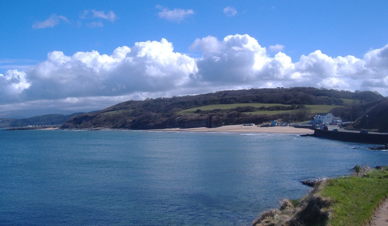
Looking in towards Benllech beach -

Over on the left of the picture you can see a bit of a headland, beyond that you are into the huge beach of Red Wharf Bay.
It is all a bit too touristy for my liking so I didn`t venture there, instead I went away along to the east end of Red Wharf Bay - it is a quite an epic drive getting there, as you drop downhill for miles to get down to the coast.
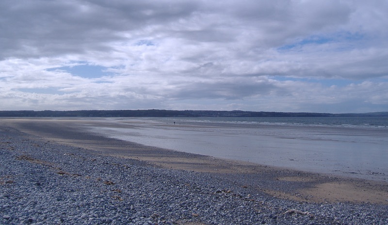
Away along at the east end of Red Wharf Bay it is getting quite stoney - this is looking west right along the beach, with Benllech away in the distance.

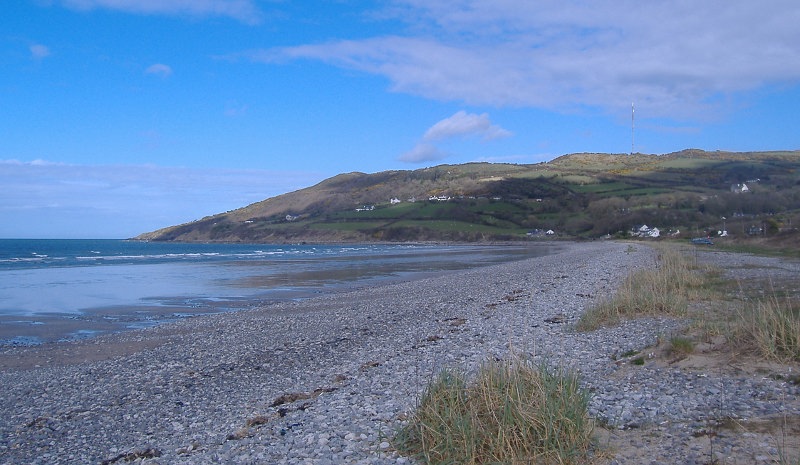
Turning round and looking east towards the end of the beach, the coastal path climbs up from the end of the beach and heads up past the houses and into the trees, and away round the headland inland. Next time you see the sea is at Penmon.
