out and about - 2013
25 March 2013 .............. Porth Dafarch to Dinas Stack
A few days after my paddle out to Penrhyn Mawr, I followed the coastal path from Porth Dafarch out to Dinas Stack - it was a bit of the coastal path I didn`t do last time. I did it because I wanted to tie up some loose ends in my understanding about Dinas Stack, and how it related to the mainland. On the way I took a few more pictures.
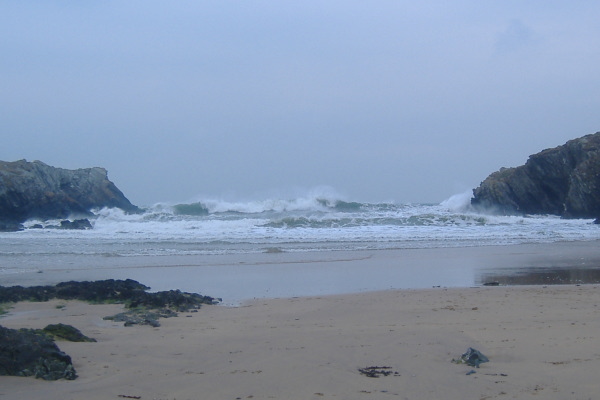
It was during the first 3 hours of a Neaps flood tide, and it was a wild day, with a very strong and cold east wind, so the sea was quite rough - there was some quite big surf coming into Porth Dafarch
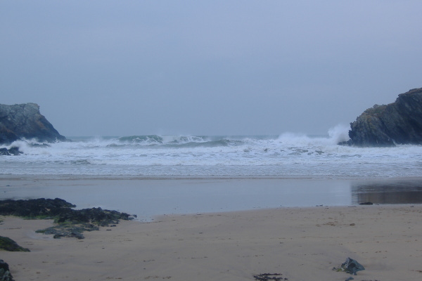
Almost as soon as you are out of the bay, the view of the coastline out to the west starts to open up.
The next headland stands out nicely.
At Porth Rhwydau, I climbed down onto the beach, and went to look for the small cave that I thought might be interesting at a low tide when I saw it on my sea trip out to Penrhyn Mawr.
It was high and dry above a lot of sloping slippy rocks, and it wasn`t particularily interesting. So that is the end of that one.
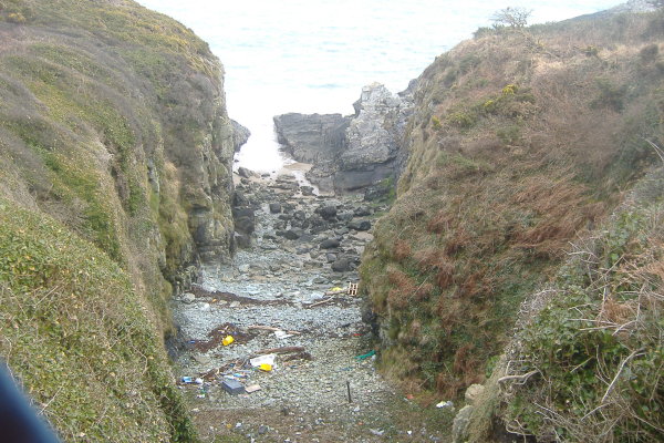
After a small headland, there is another stoney beach, narrower than Porth Rhydau, and full of rubbish, so not the most attractive place.
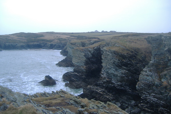
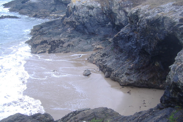
There is then an odd bit of coastline, the quite high rocks/cliffs descend into a sandy beach at low tides.
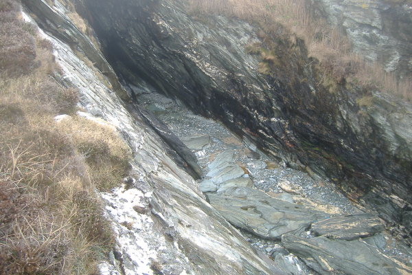
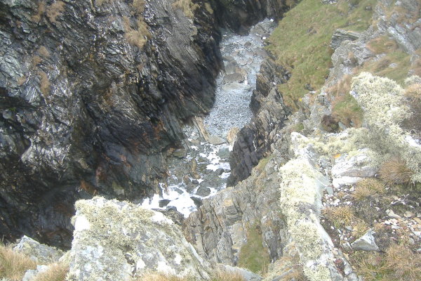
Over the next few hundred metres there are several of the deep cuts into the cliffs that seem to be so common on Anglesey.
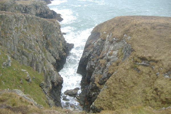
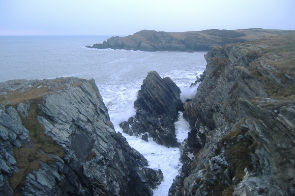
You eventually come to a headland, and from the headland you get a good view across to Gul Rock just off the side of Dinas Stack. It is worth noting that a few metres away from Gul Rock there is another rock which could catch you out.
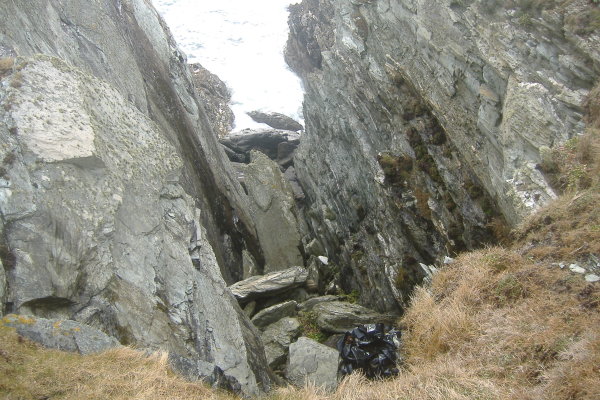
Once I reached the side of the big gouge between Dinas Stack and the mainland, I could see the hole through the rocks that I noted in my first walk along the coastal path. The tide was quite a bit higher than last time, you can`t really see it in this picture, but the swell was exploding through it.
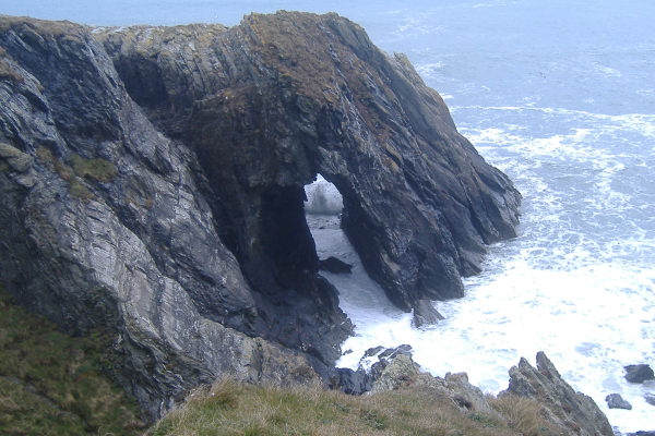
When I was sitting looking at the hole and the swell crashing through it, it finally dawned on me that this hole, and the arch I saw on my sea kayak trip, are the same thing - the hole is the other side of the arch.
Dooooh!
Sometimes I can be a bit slow.
So yes - at higher tides in the right conditions it may well be possible to paddle through it, but watch out for the swell, which could be deadly.
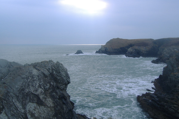
It was such a wicked day I didn`t go much further, but Penrhyn Mawr in the distance was looking wild. It certainly didn`t look like that when I was there in my boat a few days before. They also seem to be much more spread out away from the shore compared to seeing them from up on the cliffs at the back of Penrhyn Mawr.
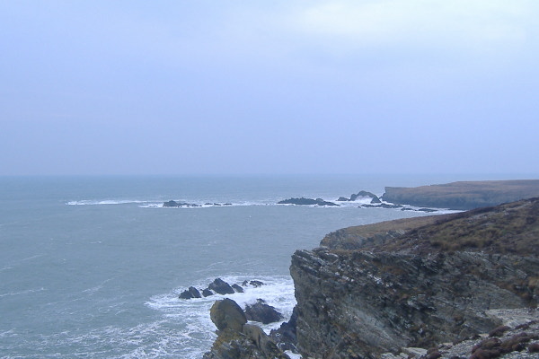
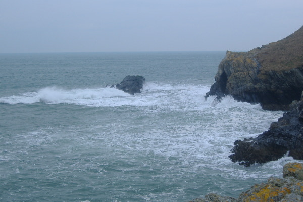
The white water to the left of Tide Rip Rock is I think caused by the Fangs - every now and then there would be enough of a wave trough that I could just catch a glimpse of one of them. It looks like the Fangs are quite a bit further out from Tide Rip Rock that what they appear to be when you are up on the cliffs overlooking Penrhyn Mawr. The Imray Pilot has them as about 100 metres out, as does tidalrace.com.
The other thing I noticed was that the channel beside the headland would have been quite tricky - even from so far away I could see the swell exploding at the far end.
website design by ron-t
website hosting by netnerd.com
© 2025 Ron Turner
![]()
![]()