out and about - 2013
06 February 2013 .............. Church Bay to Ynys y Fydlyn
As you head north from Church Bay up towards and round Carmel Head, you soon find that you are heading in to what is probably the wildest and most remote bit of the Anglesey coastline.
There is a natural break caused by a stretch of woodland about 2km`s north of Church Bay, and Carmel Head deserves a web page all to itself - this web page goes from Church Bay up to Ynys y Fydlyn, which is an interesting geological feature just to the south of the strip of woodland. On the Anglesey coastline, geology is all around you.
The photographs on this web page were taken on at least two different trips, so there is some variance in the weather and the sea state.
Here is Church Bay itself. There is a steep concrete ramp from the end of the road down onto the back of the beach, so launching and getting off is possible at all tide states, though you may have a bit of a walk across the beach at low tide. There is a car park about 200 metres back up the road.
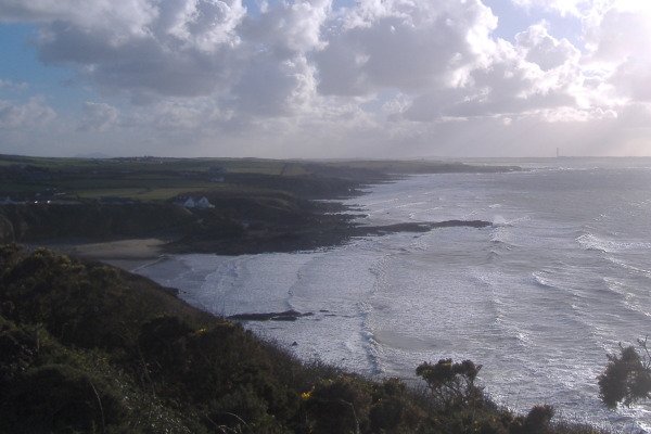
Due to the route of the coastal route, you spend quite a lot of the first 500 metres or so away from the actual coast, so it is a wee while before you begin to see the coastline. One of the views that open up is the view to the south of Church Bay, so this is looking south across Church Bay from the coastal path to the north of Church Bay. The coastline to the south of Church bay is not as dramatic as the coastline to the north of Church Bay. Right at the back of the picture you are seeing Penrhos, and the chimney at the old aluminium works
Around the same time you begin to get a view of the coastline to the north of Church Bay - here is an early view of it.
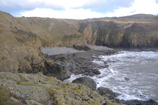
After about 1km or so, you come to a stoney beach, I have no idea if it has a name - it is not easy to get down to it from the coastal path, and not really worth the effort. Judging by the picture, it isn`t really a place for landing except at high tides.
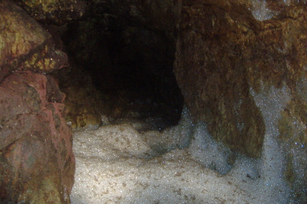
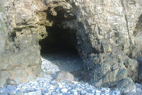
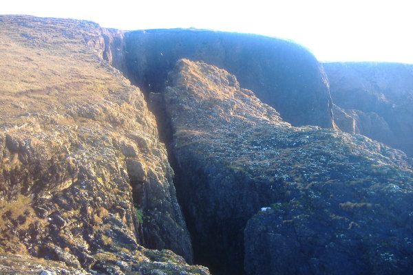
If it is low tide, and you head to the north end of the beach, you can go through quite a narrow passage between a rocky outcrop and a small cliff, and end up on another much smaller "beach" - I am not sure if it qualifies as a beach. Its main claim to fame is two small caves at the back - one of them had a deep layer of completey dry foam. It was a bit odd.
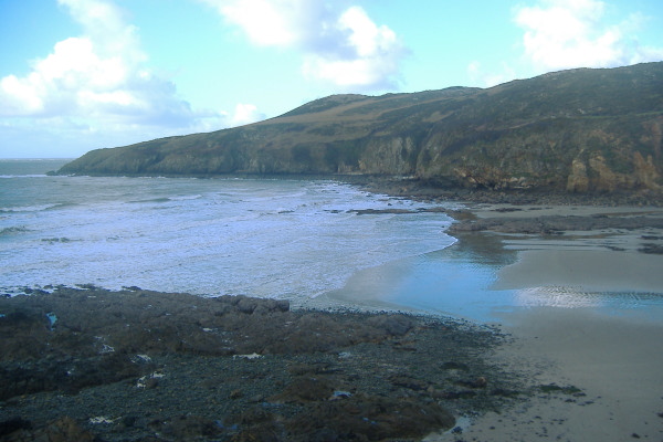
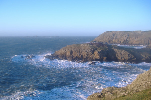
After another kilometre or so, you come to another bay - this is Porth y Bribys, this picture was taken from the north end of the bay. I don`t remember seeing any kind of access from the coastal path down to the shore.
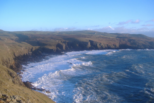
When you are walking around the bay you like down on some quite impressive rock formations. They were quite difficult to photograph, because you are either right on top of them, or you can`t see them. The photographs don`t convey any sense of how big they are. As well as that I had a bit of a problem with flare. so they are not the best photographs. I think the rock formations would look a lot better from the sea.
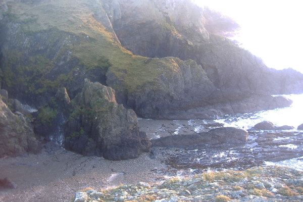
As you head over the next headland, you get your first view of Yhys y Fydlyn - in this picture it looks like a headland ( the nearer one ), with Carmel Head in the background. You can just make out the Skerries off to the left of Carmel Head.
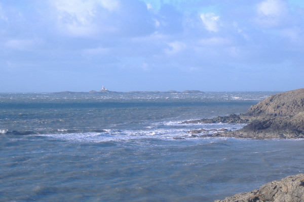
Here are the Skerries - actually photographed from a bit further down the coast earlier on, when they were picking up the sunlight.
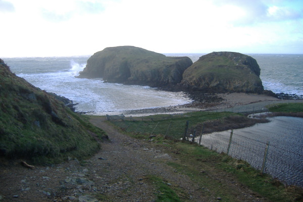
After the headland, you drop down onto a stoney beach, and as you head that way you get the full view of Ynys y Fydlyn. It isn`t a headland, it isn`t an island - it just is.
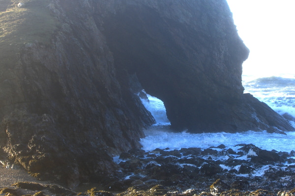
Round the other side there is an arch, I`ve no idea whether you can paddle through it - maybe it would be possible at some tide heights.
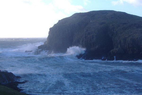
The bay beside Ynys y Fydlyn seems to pick up the waves when the sea is a bit rough - quite impressive to watch.
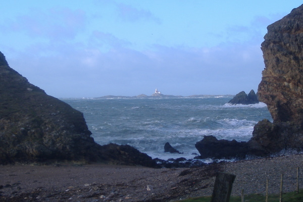
From the beach you get a view of the Skerries, here they are, framed by Ynys y Fydlyn on the left and a headland on the right.
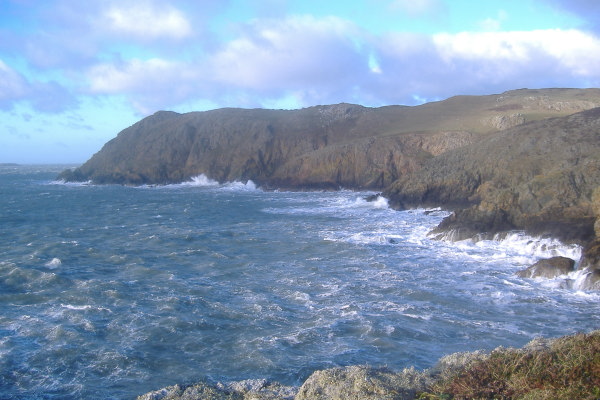
It is quite easy to climb up on to the nearer lump of Ynys y Fydlyn, and you get a good view of the next bit of coastline up toward Carmel Head.
It is worth noting that you could evacuate off the sea from this beach - you can see the end of a land rover track in the previous picture - that track starts as you see it, as a distinct track - further up it becomes less distinct, but there are vehicle tracks most of the way up to the small NT car park at SH 303 915. It is a long easy uphill walk, and like Porth Ruffydd, you would never use it as a normal access point, but could be useful in an emergency.
The coastal path crosses this beach, then meets this -
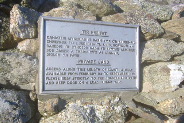
I have no idea whether this notice is from an era before the coastal path, or whether it is still valid now the coastal path is in existence.
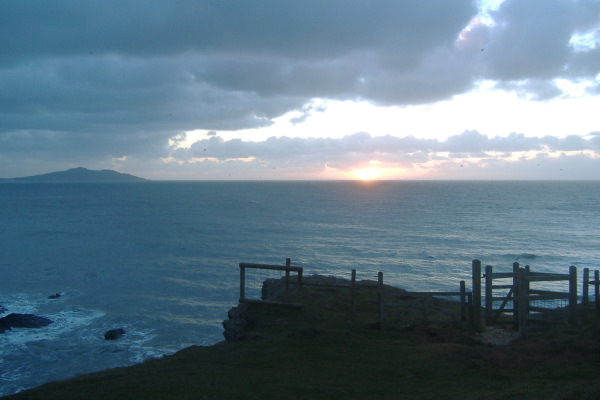
By the time I was halfway back to Church Bay daylight was beginning to fade, and I caught the sun setting out to the south west, with Holyhead Mountain just on the left of the picture.
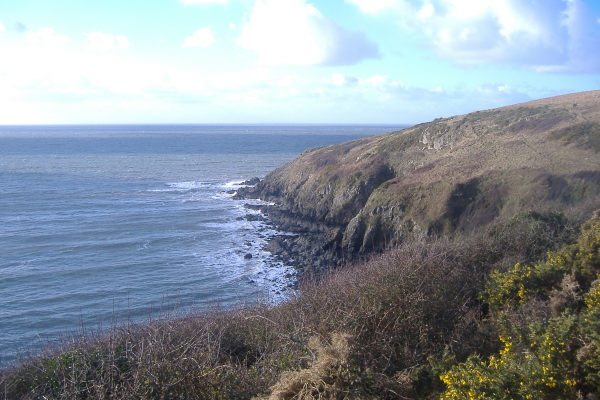
As for paddling this bit of coastline - it is exposed to the west and north, and round Carmel Head there are strong tidal currents, so it can get progressively more challenging as you head up towards Carmel Head.
You will meet various tide races during both the flood tide and the ebb tide, and during the ebb tide, you can meet a huge eddy with sufficient current flowing north that it creates its own tide races.
Also bear in mind that slackwater is before high and low water, and that after slackwater there can be a strong reverse tidal current flowing round Carmel Head against the main flow further out away from the coast, so this will cause quite a lot of disturbance in the water.
And just to put you off even more - the sea bed between Carmel Head and the Skerries has some massive underwater pinnacles in it, so the sea can be very confused all around that area.
website design by ron-t
website hosting by netnerd.com
© 2025 Ron Turner
![]()
![]()