out and about - 2013
03 February 2013 .............. Around Carmel Head
From the beach behind Ynys y Fydlyn the Anglesey coastal Path goes up and over a headland with trees on it - this section of the coastal path has no access for several months of the year as it is privately owned, and this area is used for pheasant shooting for several months - it perhaps isn`t a good idea to ignore the access restrictions, as you might become a target.
This is looking across to Carmel Head from the previous headland -
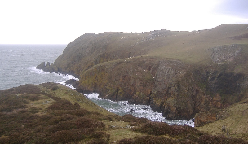
Looking back to Ynys y Fydlyn -
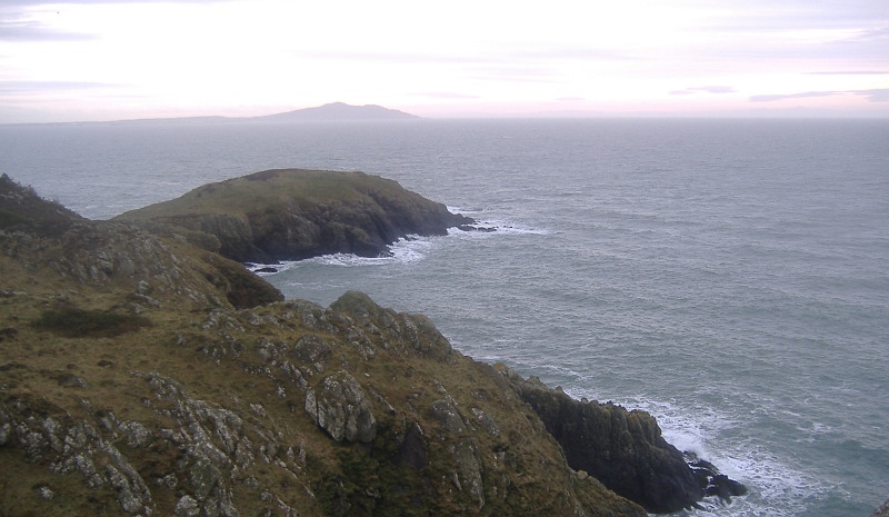
Dropping down between the headlands - look at where those sheep are grazing -
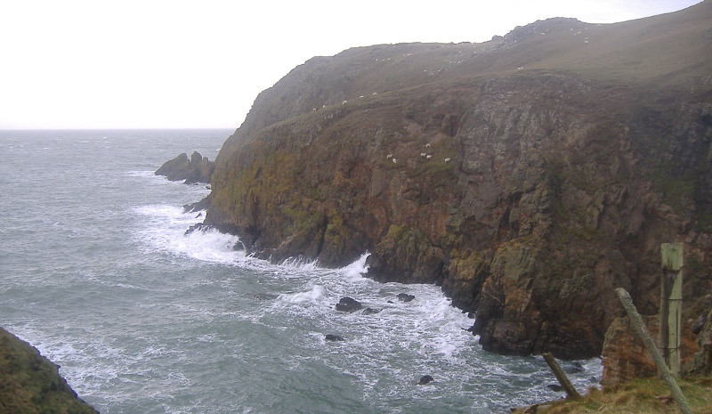
Up on Carmel Head now, looking back down the coast past Ynys y Fydlyn down towards Church Bay - it is quite a wild bit of coastline all the way from the east end of Carmel Head down to Church Bay.
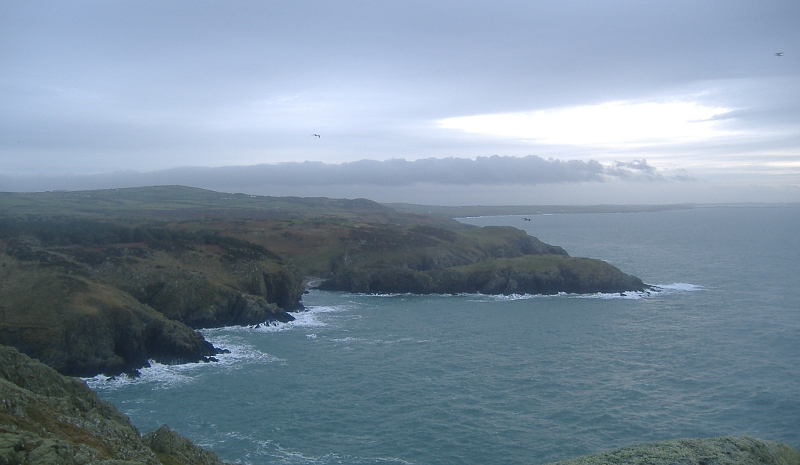
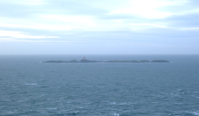
A good view out to the Skerries -
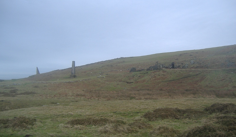
Carmel Head is quite a broad headland - this is looking further along to the east past the remains of a copper mine - you can see the chimney, and the remains of some buildings.
I am not sure, but I think the area is called Penbrynyreglwys.
You can also see a pyramid shaped concrete pillar on the left of the picture - this is one of the two White Ladies - they were put there as navigational aids for shipping that was coming to and from the copper mining town of Amlwch further along the north coast of Anglesey.
The White Ladies lined up with another pillar on West Mouse, and they indicated the position of Coal Rock, which lies out beyond West Mouse, and is a bit of a hazard to shipping.
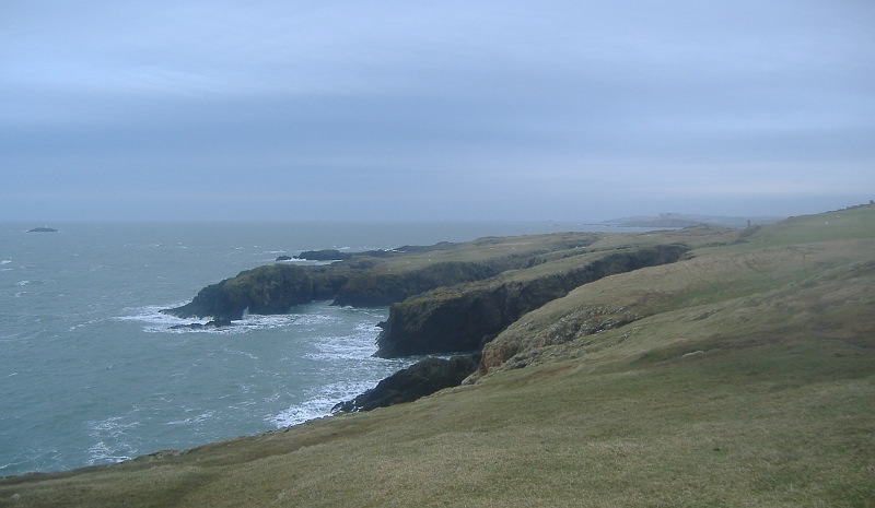
Down below the copper mine there is a deep indent into the coast, Porth y Dyfn, which has some fascinating rock formations - some of the rocks at Carmel Head are the oldest rocks in Wales.
I got right out to the end of this headland - it wasn`t just as straightforward as it looks.
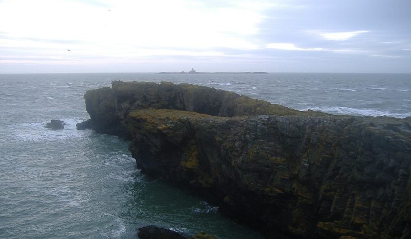
Some more of the rock formations around Porth y Dyfn -
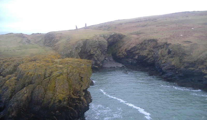
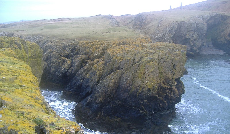
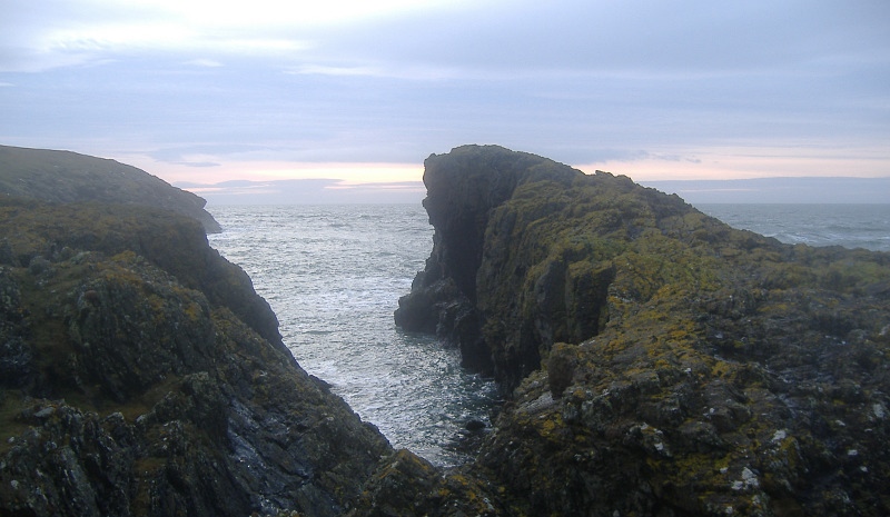
Porth y Dyfn was as far as I went, and as I was heading back we started to get a rather good sunset, which lasted for a long time - pictures of it are in a seperate page.