out and about - 2012
27 December 2012 .............. North and South Stacks
The North and South Stacks form a dramatic section of coastline on the most westerly part of Anglesey. The coastal path is mostly high above sea level, so it isn`t really the easiest of places from which to get a good view of what they are like down at sea level.
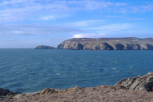
So here are just a few pictures of what it is like, starting with the view of South Stack from across Abraham`s Bosom.
From up beside the car park. you very much look down on South Stack lighthouse - here are the two sides of South Stack.
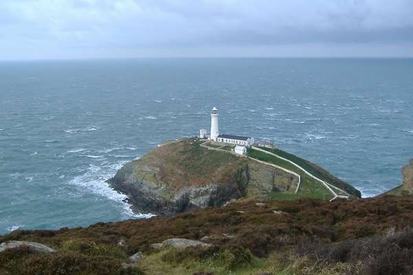
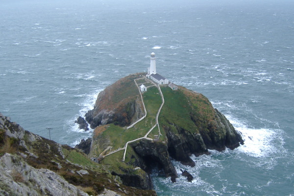
You can`t see it in these pictures, but the lighthouse is on an island - there is a pedestrian bridge across to the island.
I haven`t as yet seen it, but at some tide levels ( maybe all tide levels, I don`t know ) you can paddle through the channel.
If you are up for it, there is a long steep flight of steps all the way from the car park down to the bridge across to the South Stack island. The island is owned by the RSPB, and you can buy a ticket in the RSPB shop down the road to get access onto the island.
Heading across to North Stack, you are still high above the sea, and you can`t really see much. Here are a couple of pictures looking across Gogarth Bay towards North Stack
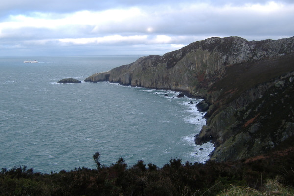
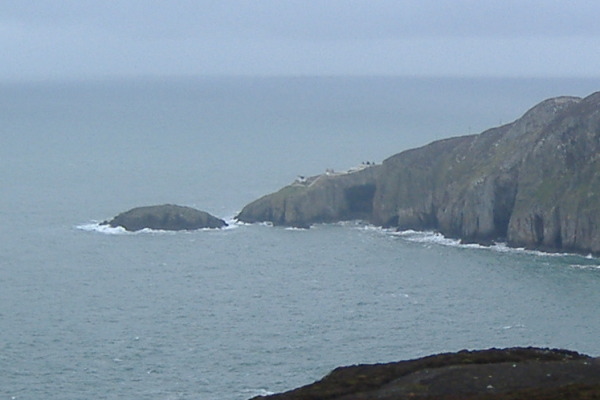
Just before you get to North Stack, there is a place you can climb down quite a long way, and you get quite a good view across to the tip of North Stack.
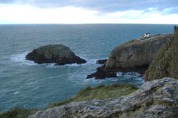
This is looking south from North Stack, and gives you another view of the sort of coastline in Gogarth Bay.
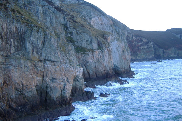
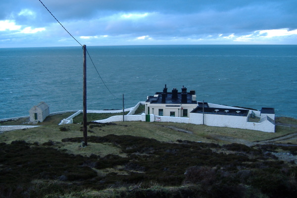
Quite far down North Stack there is a building which I think was some kind of signalling station. I am a bit curious as to why they needed eight chimneys. When I was there, there was a "for sale" sign on it - so if you want to get away from it all ......
One of the classic sea kayak trips is to paddle from Porth Dafarch through Penrhyn Mawr, round the Stacks, and finishing at Soldiers Point.
Here is the view of Soldiers Point and the Holyhead breakwater - I think the normal landing place is a stoney beach past Soldiers Point, tucked in just before the inner end of the breakwater.
The coastal path goes right round Soldiers Point, and around past the breakwater and the marina into Holyhead.
All around that area you need to be aware of the large vehicle ferries plying between Holyhead and Ireland - they produce a large wash.
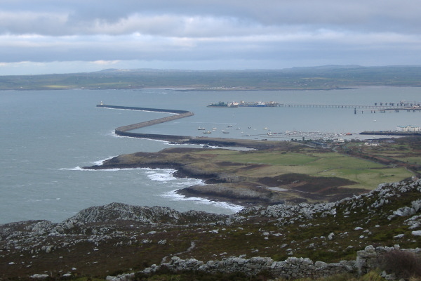
Finally, the low winter sun and some fairly dense bits of cloud at times produced some interesting lighting effects.
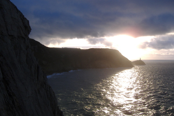
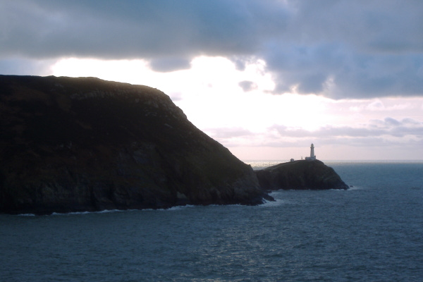
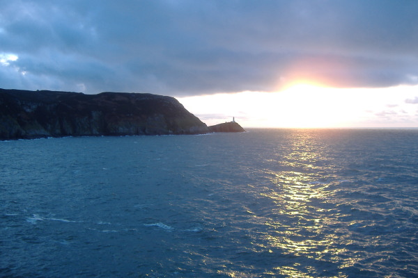
As I said at the beginning, from up on the coastal path, you can`t really see much of the coastline and how it relates to sea kayaking. Do bear in mind that this section of the coast can produce some very challenging sea kayaking conditions - there are strong tidal currents, slack water timing bears little relationship to high and low water timings, and the whole area is very exposed.
And don`t forget the tide races !