Allt Gleann a Chalais
The Allt Gleann a Chaolais crosses under the B863 Glencoe to Kinlochleven road, about half-way between the two places. This river is in the SCA Scottish White Water guide, 2nd edition, where they describe the lower section.
I came across it during a bit of corbett bagging up behind Kinlochleven, and walked down quite a lot of it, and took all the following pictures.
The SCA guide describes the lower section as a grade 4/5, and it certainly is. However the upper part is a very nice burn with continuous white water between grade 2 and grade 4, and it would be easy enough to get off before the lower grade 4/5 section.
It would need a bit of water in it, but it wouldn`t have to be huge.
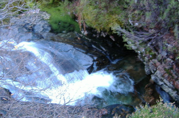
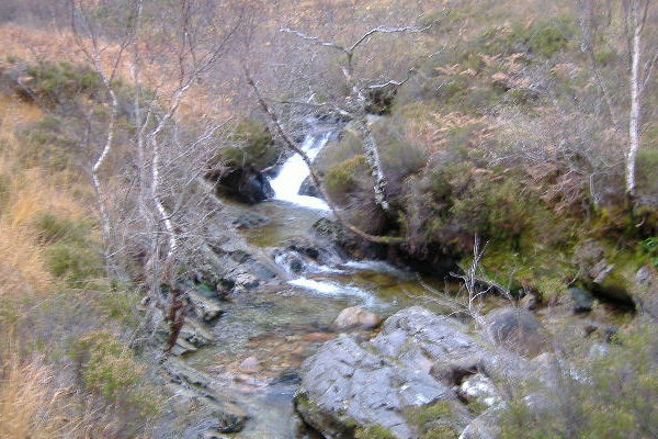
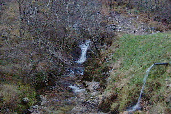
I came down off Garbh Bheinn and met the river maybe about 1.5 - 1.7 km`s up from the getout at the roadside. Here`s what it looks like looking upstream at that point.
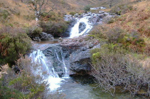
Looking downstream from the same point -
That is pretty much how it continues for the next 1.2 - 1.3 km`s or so - grade 4`ish rock slides and other features, and grade 2/3 bits in-between. It is only the last 400 - 500 metres that have the higher grade water.
There are some obstacles to be aware of - the first one is a small tree lying across the river - if someone just happened to have a saw with them.....
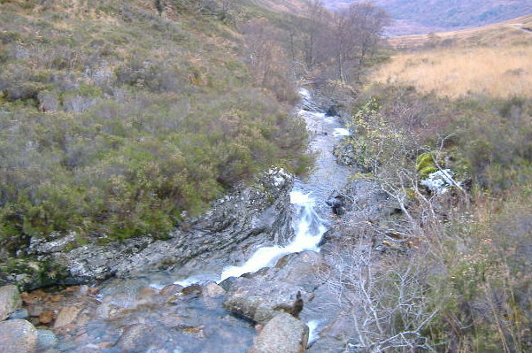
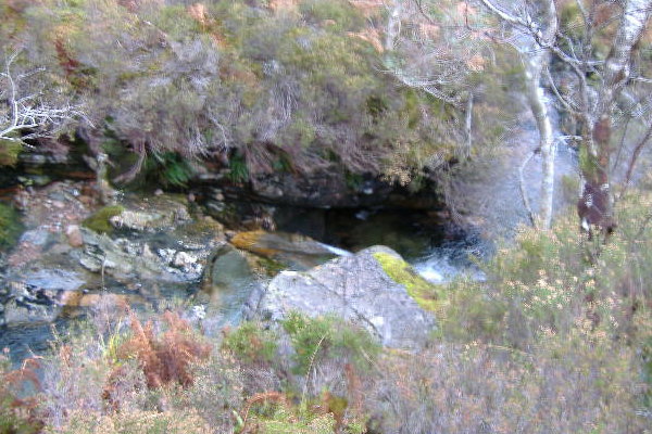
Then it is more of the same - rock slides and grade 2/3 water,
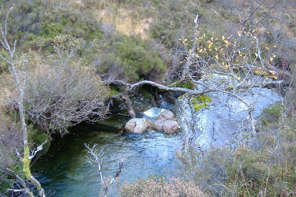
until you come to next the two obstacles - a couple of undercuts both river left - they are not too easy to photograph I`m afraid, the second one is quite a bit bigger than the first one, and could be a bit of a problem.
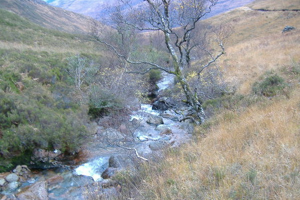
Things start to hot up a bit, there is a drop that is a bit more technical,
and then you are facing into a nice wall - I guess you`ll get a good going pillow there, merged into the lower bit of the stopper caused by the drop.
Another harder rock slide,
before the river drops into a sort of amphitheatre, and the first freefall waterfall.
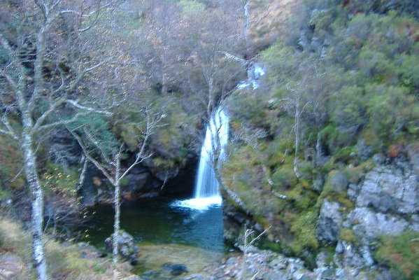
If you don`t want to paddle this, get out quite a bit before it, otherwise you will have one heck of a climb up the steep bank of the amphitheatre.
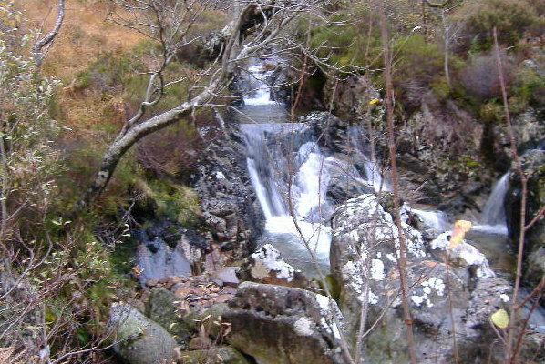
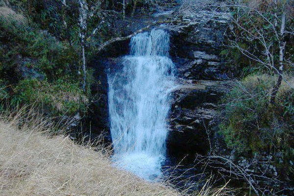
Another 100 metre or so of grade 2, then the next drop - a nice staircase.
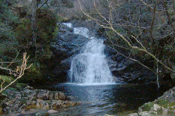
Quickly followed by big drop number three -
which doesn`t look too bad, except in this picture, you can`t see the rock wall below the grassy bank in the foreground of the picture - so you come whizzing down the waterfall and bash straight into the rock wall. Ouch !
After that it gets more hectic, more drops, some quite long rock slides, and the narrow slot described in the SCA guide. I wonder if it is actually wide enough to get a boat down.
One of the drops near the end is a dam made out of concrete, there are lots of plastic pipes around, so I guess it is the water supply for the caravan park along the road. When I was there, there was what looked like a steel cable stretched across the river just above and out from the dam. It would I think be a serious problem if you were wanting to paddle the dam.
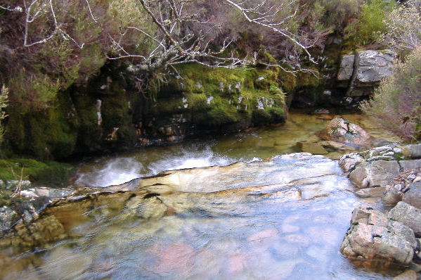
Here`s the last drop, I can`t remember if this is the dam or if the dam is a bit further up.
I took that picture standing on the bridge, so the whole last section is easily inspected.
That`s it - read the SCA Scottish White Water guide for more information.
website design by ron-t
website hosting by netnerd.com
© 2025 Ron Turner
![]()
![]()