ron-t kayaking blog
26 September 2017 .............. Rhosneigr to Rhoscolyn
A bit of a less well known trip today - Rhosneigr to Rhoscolyn and back.
In fact it is a bit of coastline that I knew absolutely nothing about, and it has left me with one or two things that need a bit of further investigation.
The first bit of the trip took me away along beside the beach Traeth Crigyll, inshore of the long tongue of rock that sticks away out to the south, Ynys Feirig, and then along the next bit of beach, Traeth Cymyran - actually I didn`t go along the beaches as there was a bit of a swell coming in from the west with a long period, and it was producing some quite meaty breakers all along the beaches, so I had to stay quite a bit out.
They are super looking beaches by the way, and the coastal path goes right along at the back of them.
There were a few of the inevitable dog walkers along them, but I don`t think even in summer they would be busy, as they are not that easy to get to.
Then I headed into the Cymyran Straits past the houses there, Plas Cymyran.
Just at the entrance to the narrows there are a couple of signs -
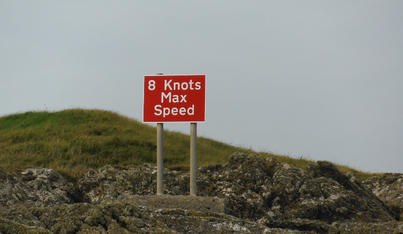
So there you go - power boats are restricted to 8 knots - well there isn`t much chance of me paddling at 8 knots, so I could safely ignore them.
Looking into the narrows -
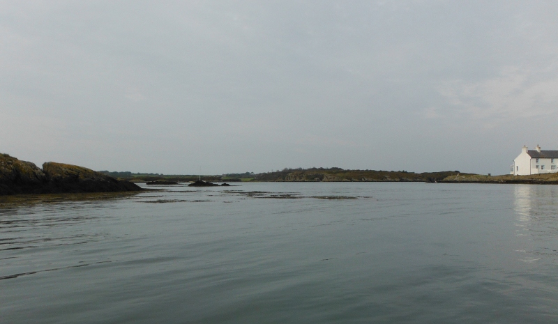
Round past the shingle bank, and into quite a big area which is known as Rhyd y Gari - a couple of views of it -
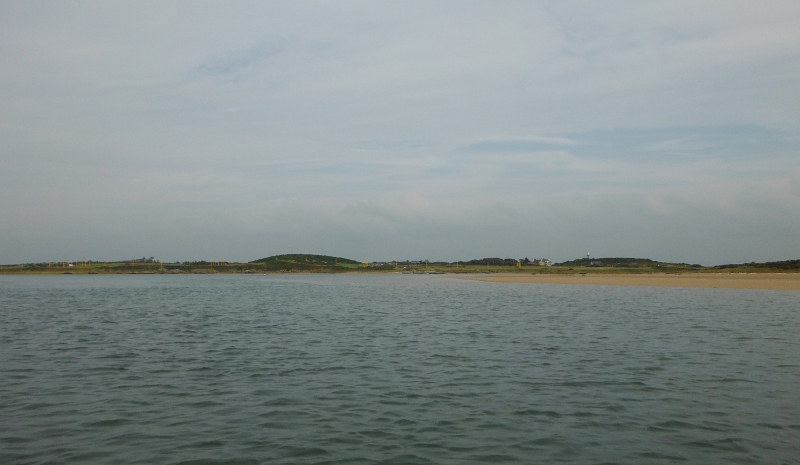
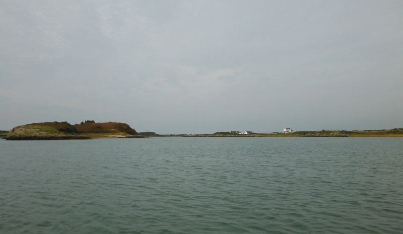
I didn`t know what was further up, and I didn`t know what depth of water there would be once the tide started dropping, so after that I turned and headed out again - looking back out through the narrows at Plas Cymyran -

Later on at home, I was wandering about on Google - and I found out that in these narrows during certain tidal conditions the current can reach 8 knots.
So they aren`t speed limit signs - they are warning signs about the speed of the current.
Dooh !!!!!!!!
PS - an update - a few days after my voyage into the Cymryan narrows, I was around that area on my bike, and I found another sign about the 8 knots speed - and this sign was quite clearly about it being a speed limit for power boats, not a warning about the currents.
So there you go - I was right the first time, so I can undooh my dooh.
Now another thought arises - because if you are heading through the narrows when the current is 8 knots, and you paddle forwards, then you are doing more than 8 knots - so even sea kayakers can break the speed limit.
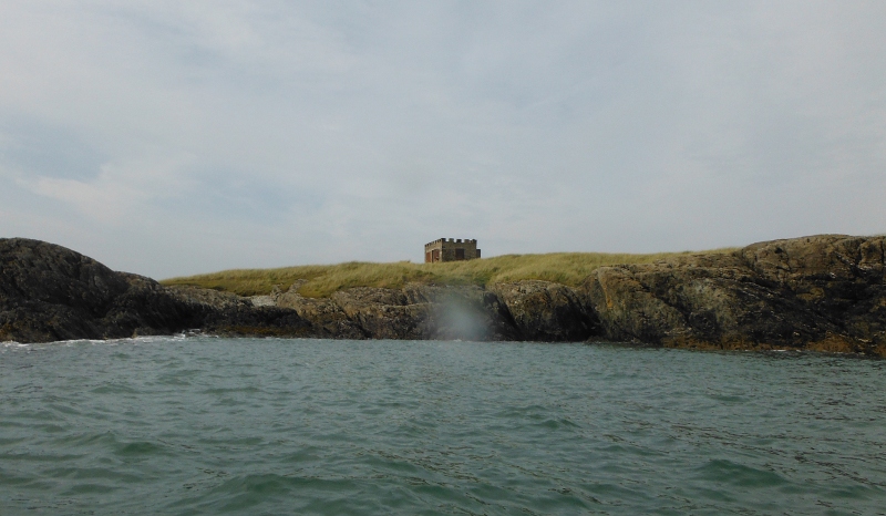
Oh well - time to head along the coast a bit more - just past the Cymyran Straits there is a spit of land that sticks out - I think it is called Tywyn Bryn-y-bar - it has this strange looking building on it - I have no idea if it has any historical significance.
PS - sorry about the smudges on the lens in the next few pictures, they didn`t show on the tiny little screen on the camera.
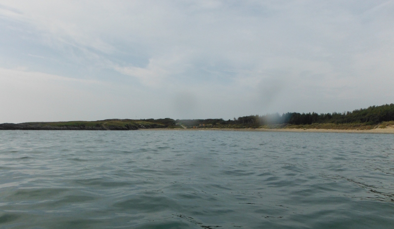
The next significant feature is Silver Bay, or Traeth Llydan - now I have always had in my mind that Silver Bay is a private beach that belongs to the tourist centre called Silver Bay Holiday Village.
But it looks as if the beach actually has public access, the coastal path runs along part of it, so it would be difficult for it to be private.
But what is private is the access road - so you can get there on foot, but not by vehicle.
Again, it is a very nice looking beach -
After Silver Bay the coastline gets a lot more interesting from a sea kayaking perspective - rocks, cliffs, passages, little beaches - and super rock hopping.
The rock hopping allows you to be as brave or as timid as you want, there are lots of scary bits, and lots of much easier bits.
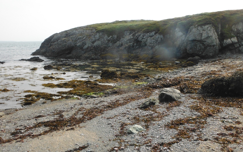
You don`t go too far before you reach a small shingley beach - Porth yr Ych - an excellent place for a teabreak - but don`t expect any privacy, the coastal path is right above it.
This was close to a Neaps high tide level, I suspect that it might be a lot less suitable for landing at lower tide levels.
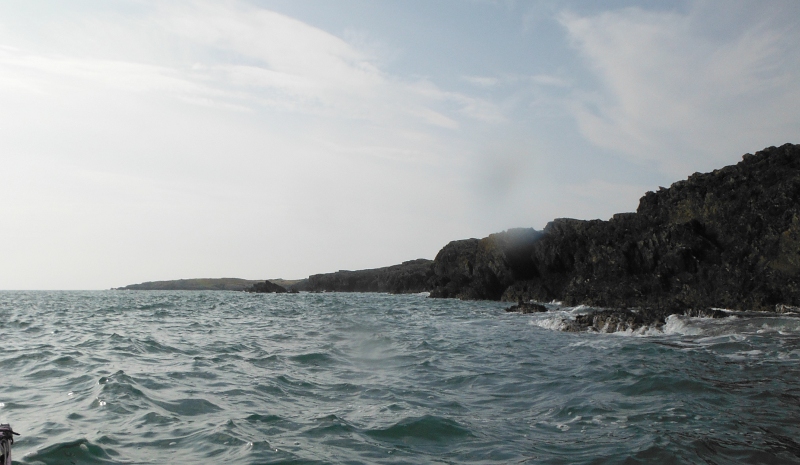
Some of the cliffs - they aren`t the biggest of cliffs, but they descend straight into the sea, and so there was quite confused seas around them.
A passageway through the rocks -
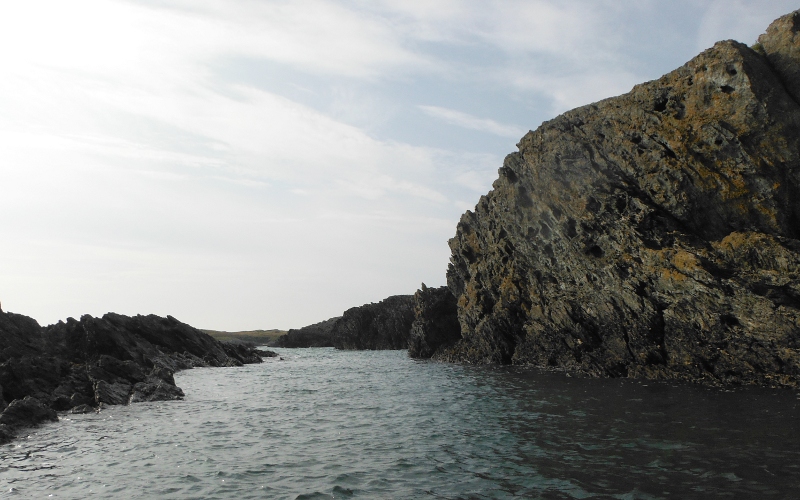
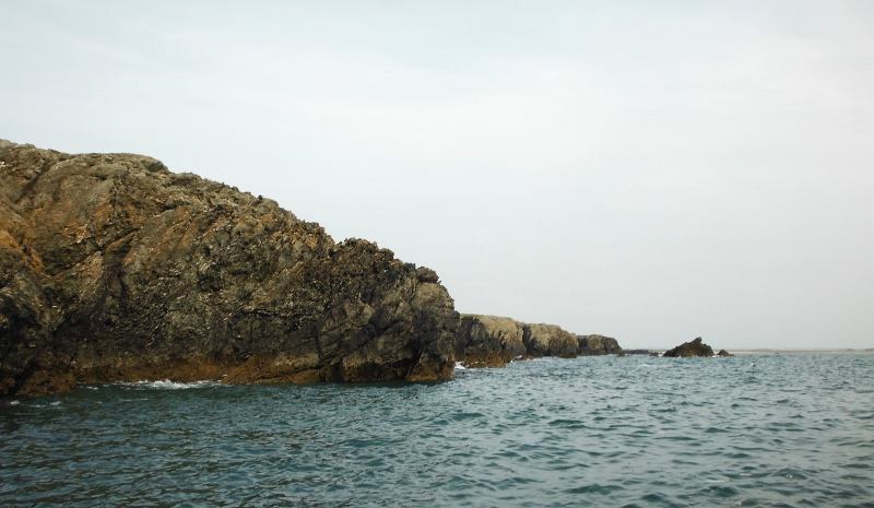
Looking back along a bit of the coast -
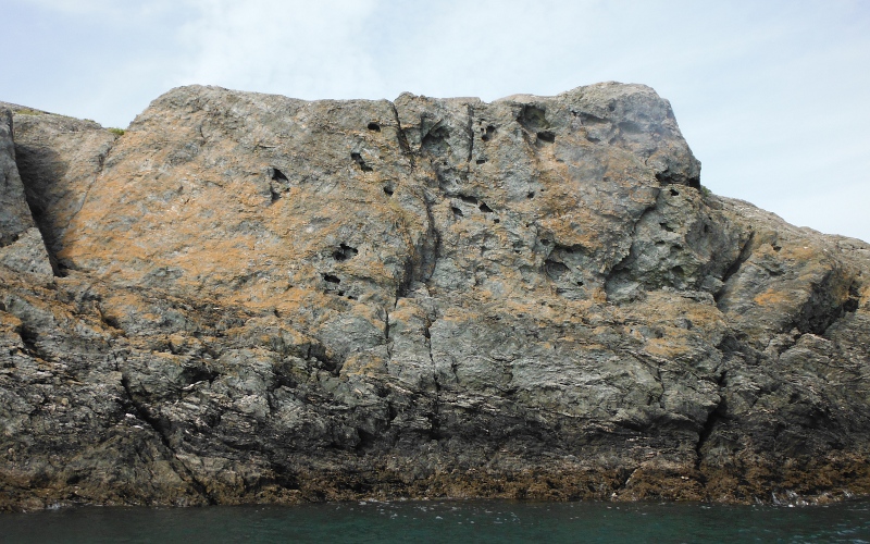
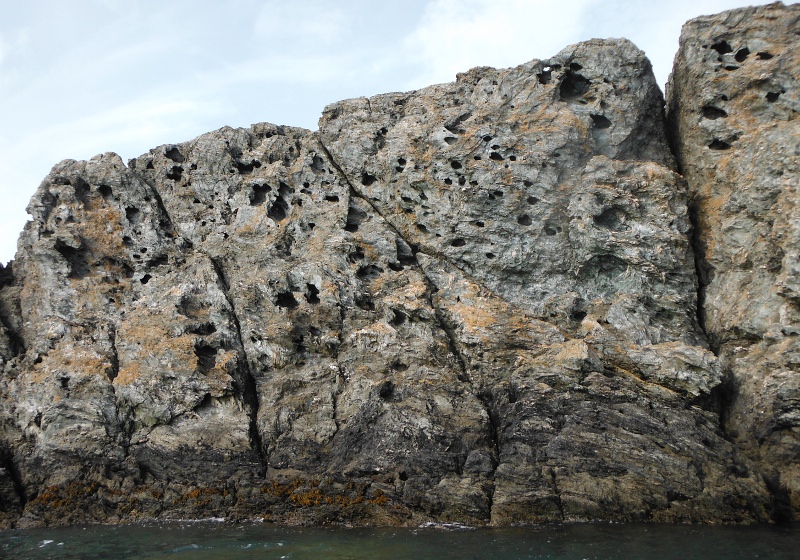
A section of the cliffs had the most amazing holes in them -
A deep slot in the rocks, with a neat little beach at the back -
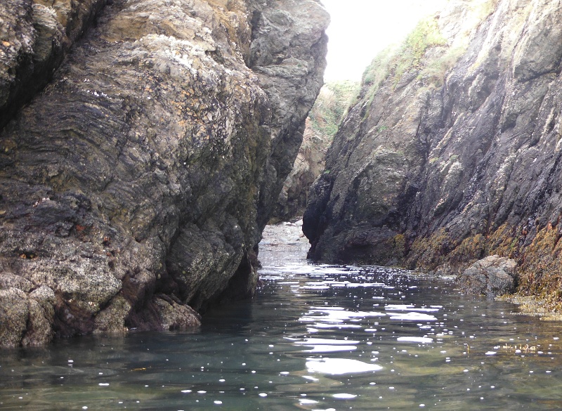
This was the only cave I saw - it was too shallow for me to get into, you might manage it at a Springs high tide, but it doesn`t go too far in anyway, so not worth a lot of effort.

Another couple of small beaches -
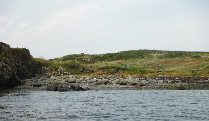
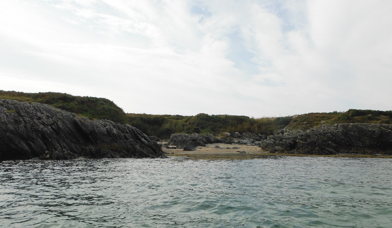
I carried on until I was far enough round the coast to see across to Rhoscolyn Beacon, although I didn`t go quite as far as Borthwen, otherwise known as Rhoscolyn Bay - time was going on, and if I was too late back to Rhosneigr the tide would be awfy far out and I would be faced with several hundred metres of shingle, mud, and seaweed to cross - Rhosneigr at low tide isn`t much fun, and not very attractive to look at either.
So my last picture of the outward journey -
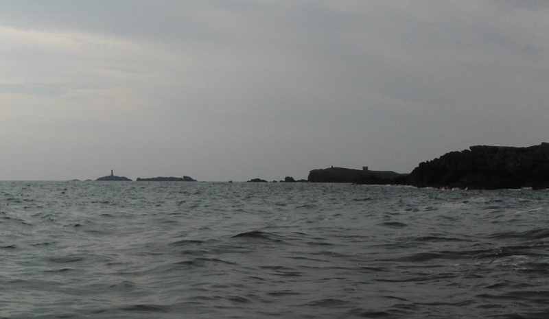
I headed back keeping well out to try and catch the ebb tide - progress was quite fast to begin with, but got noticeable slower as I headed in towards Rhosneigr - this is the long line of rock that stretches out from the shore, Ynys Feirig, with Rhosneigr away at the back.
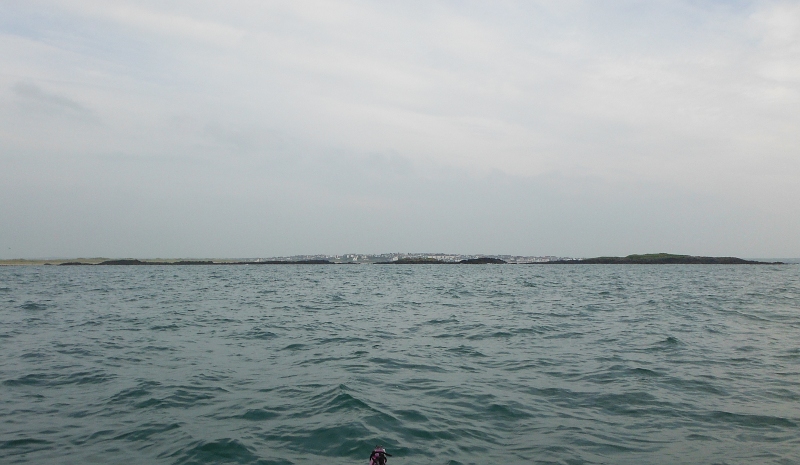
I just made it back to Rhosneigr before the sea disappeared down a plug hole - within another twenty minutes or so the place where I had landed was high and dry a long way from the sea.
It was an interesting trip along a bit of coast I knew nothing about, and I need to find out more about the 8 knot current through the narrows at Plas Cymyran, so far I haven`t found any information on when it happens.
My trip out had one downside - the jets from RAF Valley - maybe I was just unlucky on this particular day, but it seemed to be pretty well non stop all afternoon, and so rather intrusive noise wise.
There are two runways that point out to sea - one points west south west, right along the coast from Silver Bay to Rhoscolyn, the other points south south west, right over Ynys Feirig.
If you ever think of going there, you could try to go at the weekend, they don`t fly at the weekends - at least I don`t think do, and if they do it is a lot less often.