ron-t kayaking blog
11 May 2017 .............. Rhoscolyn Head
My first trip out for quite a while, and started off doing some rolling and self rescue practice - I have been somewhat concerned about what effect my increasing difficulty with mobility on land would have on my functioning in a boat, but rolling is still okay, and a couple of self rescues worked okay as well. So that is a bit of a relief.
It is a bit strange, but my first self rescue I can do just with a re-entry and roll up, but if I try and do a second one, I can`t roll up, and I have to use my paddle float to do the roll up.
I am wondering if it is something to do with all my clothing and equipment getting more and more saturated with water, so I am getting less and less bouyancy.
Anyway, after all that, I headed off out of Rhoscolyn bay - it was just after the Springs high tide, so most of the rocks in the bay were covered, but there was this very fine set of teeth out in the middle of the bay.
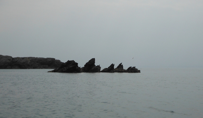
If I am reading it correctly, according to my OS map, Rhoscolyn bay is called Borthwen, but I headed out of it and across to Ynysoedd Gwylanod.
The cormorants around the beacon certainly make their presence known -
![]()
Out past the beacon now, and looking across in the direction of Rhoscolyn Head and the various islands that live there.
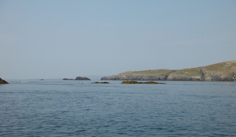
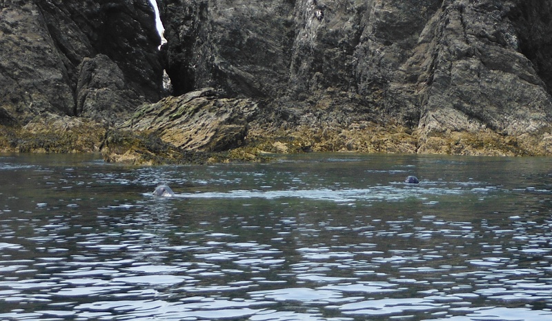
A rather cagey pair of local residents, they were a bit too obviously not looking at me.
I think that this is Maen-y-frân, the most distinctive of the various islands to the south of Rhoscolyn Head.
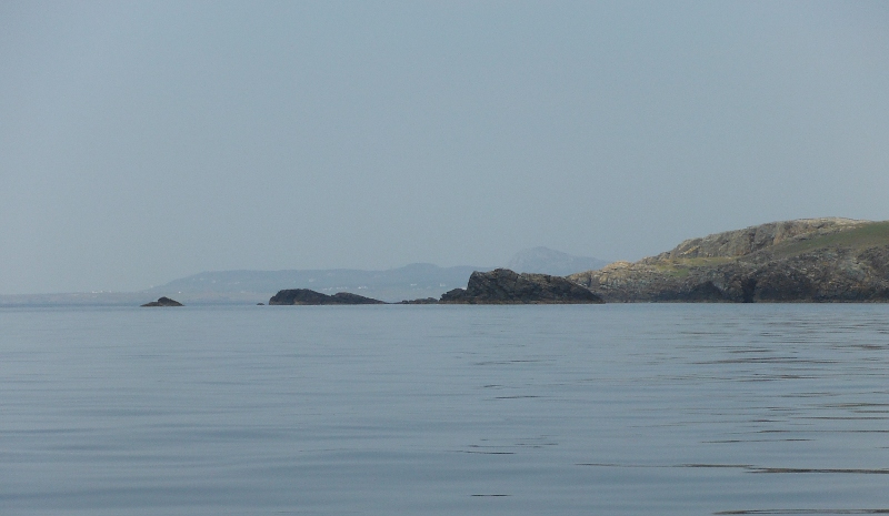
A bit further on, but not round Rhoscolyn Head, and a very big cave - the picture needs a boat sitting in front of it so you can see how big it is. It`s big.
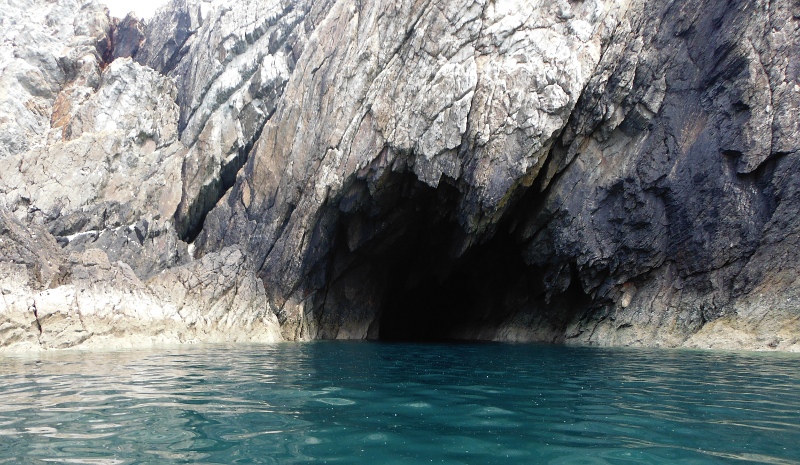
An easy paddle in -
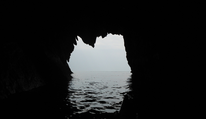
When you are heading north you don`t really get a good idea of the ruggedness of Rhoscolyn Head, you tend to paddle round it without really noticing it - so this is away round Rhoscolyn Head now, and across a rocky bay, and another distinct headland is in front of you.
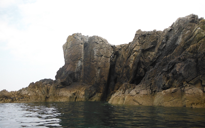
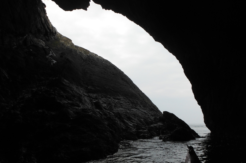
Now I had a good memory that past this headland is the famous White Arch, but I didn`t have any recollection that before you get to the White Arch there is another cave, it is a very deep cave, but I couldn`t go too far in, as I could hear and just about see what effect the slight swell was having away in at the back at the end of quite a long narrow passage.
So this is the outside -
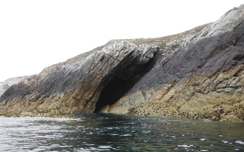
I did get some way in though -
And then it`s the famous White Arch, or Bwa Gwyn -
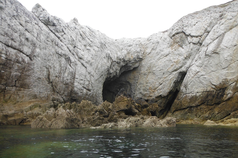
Further into the inlet, and looking through the arch - at high and medium tides there is enough depth of water to allow you to paddle through the arch, but at low tide levels the arch itself doesn`t, but the inlet dries out - you can see in the picture that it is fairly shallow.
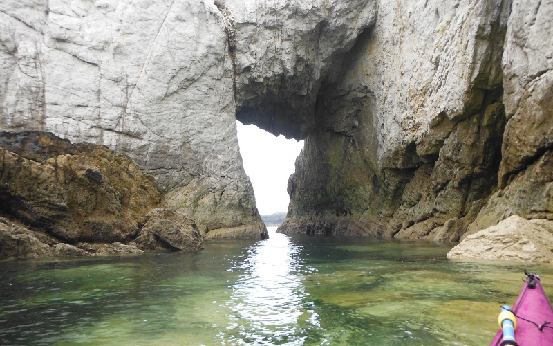
Through the arch now, and looking back into it from outside -
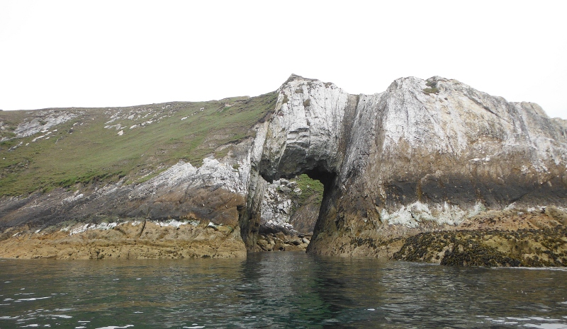
Further along the coast you come to the Black Arch, or Bwa Du - you can only get through the Black Arch at quite high tide levels because the far side is a boulder field, and it dries out at most tide levels except the highest ones.
You need to be very wary of the Black Arch - the White Arch is fairly benign, but the Black Arch is lethal if there is any kind of swell, as the swell gets compressed as it flows through the arch and explodes over the rocks at the far side.
I got through it okay, but then had to reverse back out again as the boulder field had dried out.
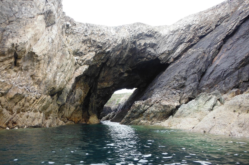
I am not a geologist by any means, but from various comments on the internet it appears that the Black Arch and the White Arch are quite different geologically, even though they are only a couple of hundred metres apart.
The White Arch is a hole cut through a continuous area of one type of rock, whereas the Black Arch is on a fault line between two quite different rock types.
The Black Arch was as far as I went, so this is heading back, looking back along the coast past the White Arch to the headland.
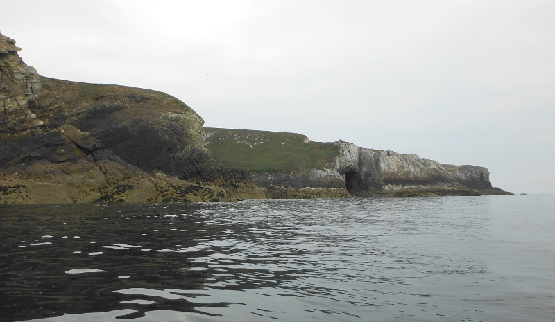
Crossing the bay, and looking over to Rhoscolyn Head -
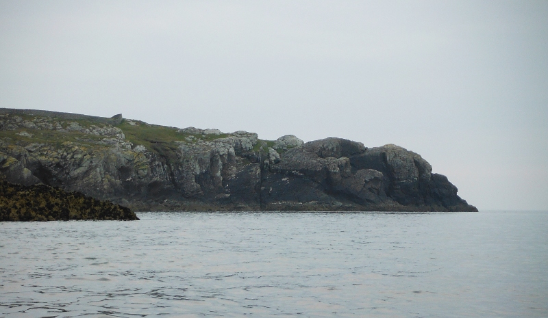
Round Rhoscolyn Head and looking past Maen-y-frân to Ynysoedd Gwylanod and Rhoscolyn Beacon -
![]()
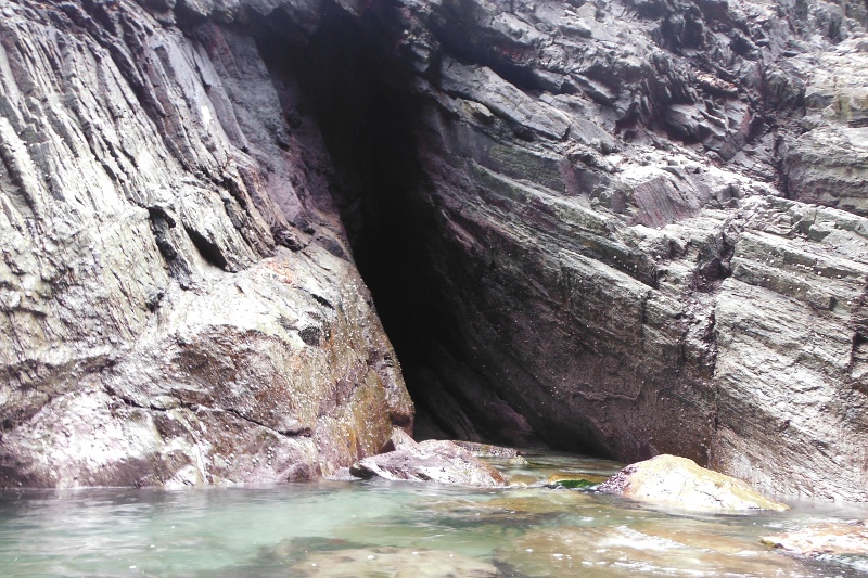
Heading back along the coast, and I came across this deep inlet into the cliffs -
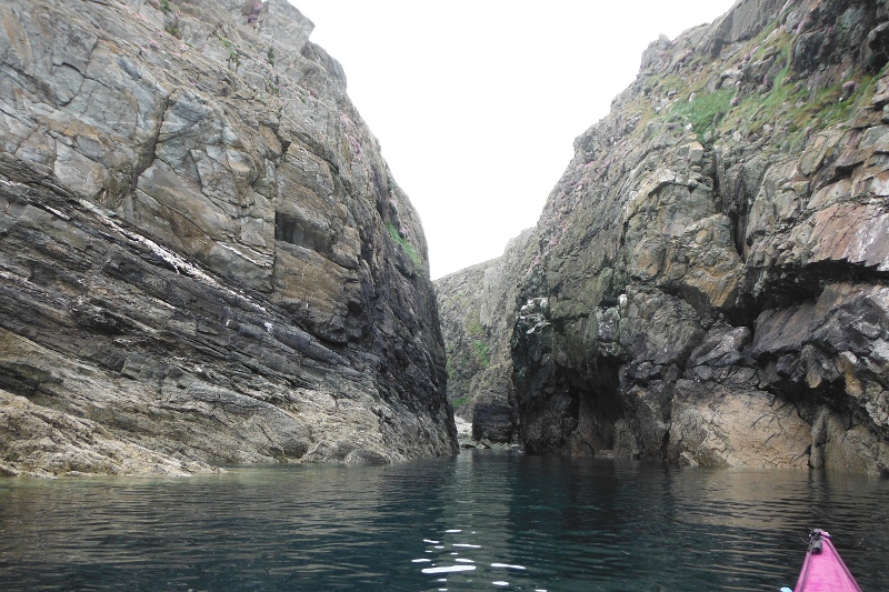
More out of idle curiousity than anything else, I paddled into the inlet, and right at the back I found a cave - I couldn`t see into it, so I don`t know how deep it is, but it might be worth investigating at high tide, when it should be able to paddle right into it - the tide was well down when I was there.
It is really weird how you can get a cave like that which is way into an inlet where there shouldn`t be the sort of sea conditions that you would need to create a cave.
Looking at the rocks, it would appear to be a fault line of some kind, as the layers in the rock are somewhat vertical on the left, and more horizontal on the right.
Anglesey has the most amazing geological features.
Heading on along the coast, and a closer view out to Ynysoedd Gwylanod -
![]()
More striking rocks and cliffs -
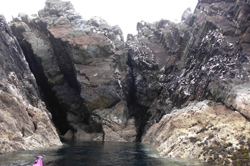
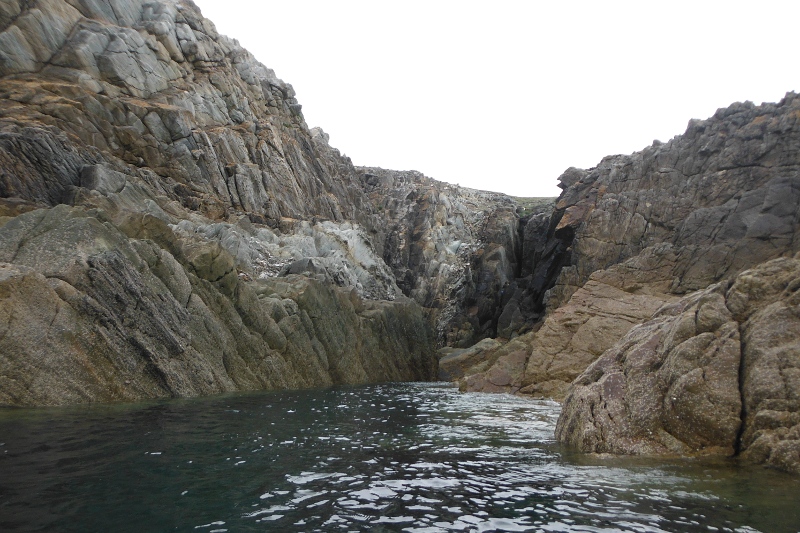
Because the tide was well down by now, and it was Springs, there were a lot of exposed rocks, and at one point there is a quite long passage through the rocks.
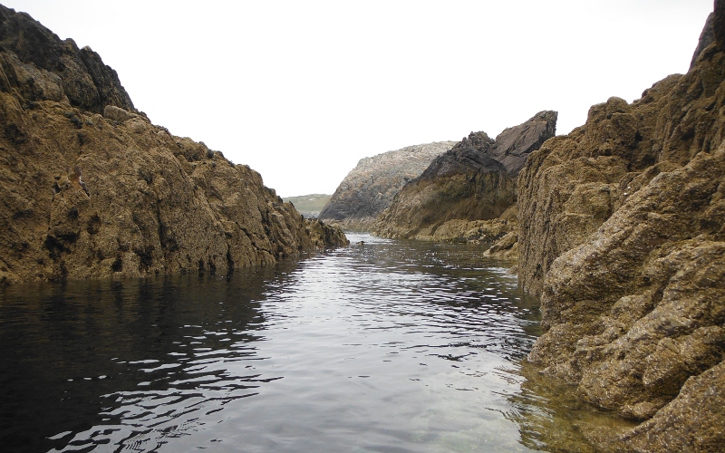
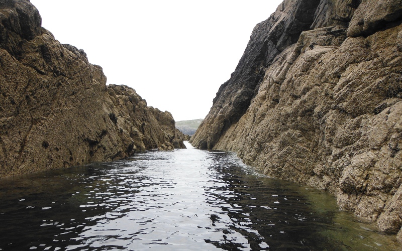
Out of the passage, but lots more rocks - it would be a good section of coast for rock hopping if there was a half decent swell and it was low tide.
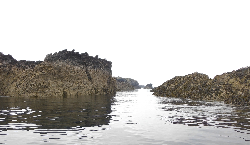
And so back to Borthwen - and an awfy lot of sand, as it was by now close to low tide.
I had forgotton just how good a bit of coastline this is, with lots of features like cliffs, caves, and passages, as well as lots of potential for tide races and rock hopping, depending on the sea conditions.
I think there would be significant differences between high and low tides, with different features coming out at the different tide levels.
I don`t think it really gets the recognition that it perhaps deserves as a sea kayaking venue, being somewhat overshadowed by the more well know area around Porth Dafarch, Penrhyn Mawr, and the Stacks.