ron-t kayaking blog
18 March 2016 ............ Ogmore to Nash Point - part 1
I tried to take advantage of the high pressure we have been having to do a trip along the South Glamorgan coast from Ogmore towards Nash Point - I didn`t know how far I would get, but it was carefully planned so that if I did get to Nash Point, I would get there at slackwater.
According to " Welsh Sea Kayaking ", Nash Point can be particularily nasty when there is an east wind against a flood tide.
So the trip was planned to take advantage of the flood tide out to Nash Point, and to arrive at slackwater, then head back to Ogmore on the ebb tide.
It didn`t work out that way - XCWeather had forecast a very light east wind - but in fact it was a very brisk east wind, so the whole way out I was pushing against the wind and against the quite chunky wind-against-tide sea, and my progress was very slow. Sometimes I seemed to be making no headway at all, and I would crawl along.
My hands were getting very cold and I was desperate to stop and put my pogies on - they were in my deck bag - but there was no way I could do it.
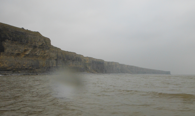
I had gone quite a way before I was able to take any pictures, but eventually I had a slightly calmer bit, so this is looking along the cliffs - I think it would be about 2 km`s from Ogmore.
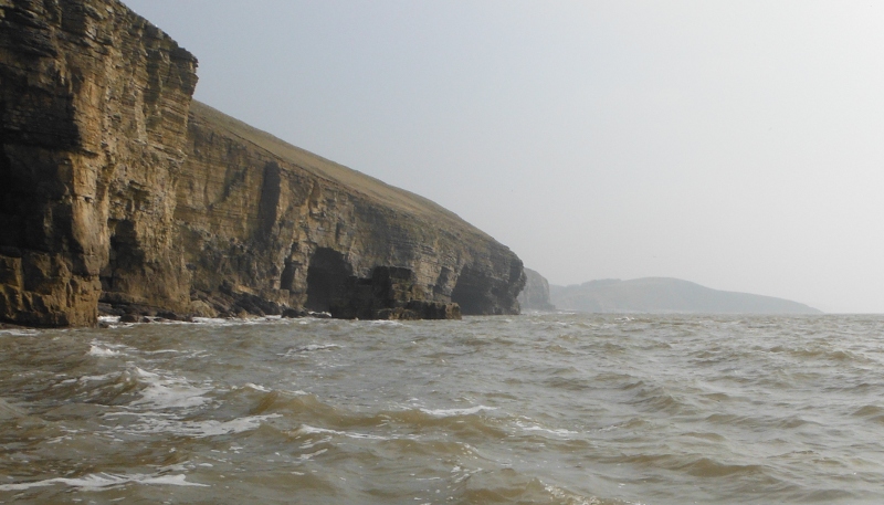
Now as well as the wind-against-tide sea conditions there was also a bit of a swell coming in from the side, and maybe about 50 - 100 metres out from the shore some quite big breakers would suddenly rise up and attack you, so I had to stay quite far out to avoid them. As a result, I didn`t really get any close up pictures of the cliffs and their features, however here are a couple of pictures of the swell hitting the cliffs.
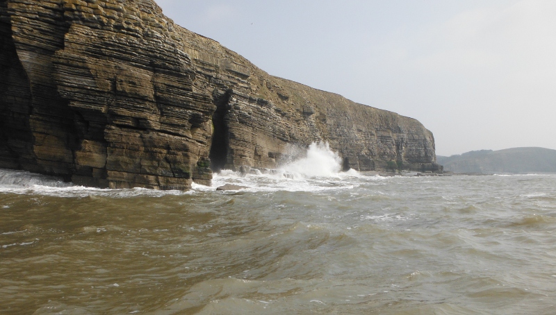
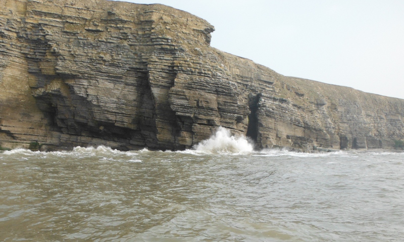
Eventually I came to Dunraven Bay, and at high tide the beach is a steeply sloping bank of stones, and the swell was producing some nasty dumping waves, so I couldn`t go in there.
However I discovered that right along at the far end of the bay there was a wee corner where the swell wasn`t so big, and I hauled in for a break.
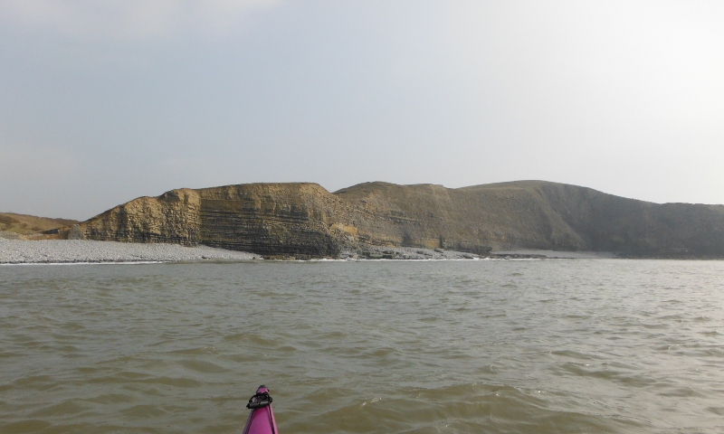
Round the far side of the headland Trwyn y Witch, and a bit of shelter, and my first cave - or is it an undercut. I couldn`t see in too clearly, but I don`t think it went in very far.
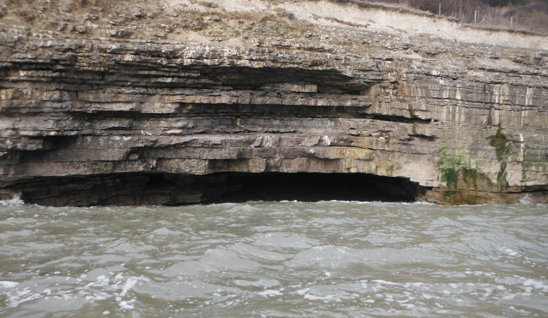
After Trwyn y Witch the character of the coastline changes a bit, as most of the cliffs have a stoney beach along them even at high tide.
Here is a rather good natural pavement rising out of the beach.
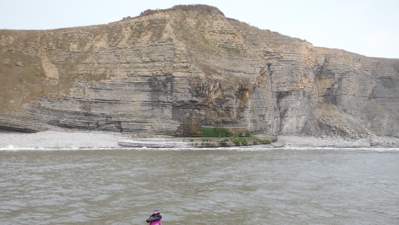
This is looking along the cliifs - I am not sure if the very faint headland is Nash Point, I find it quite hard to work out which headland is which.
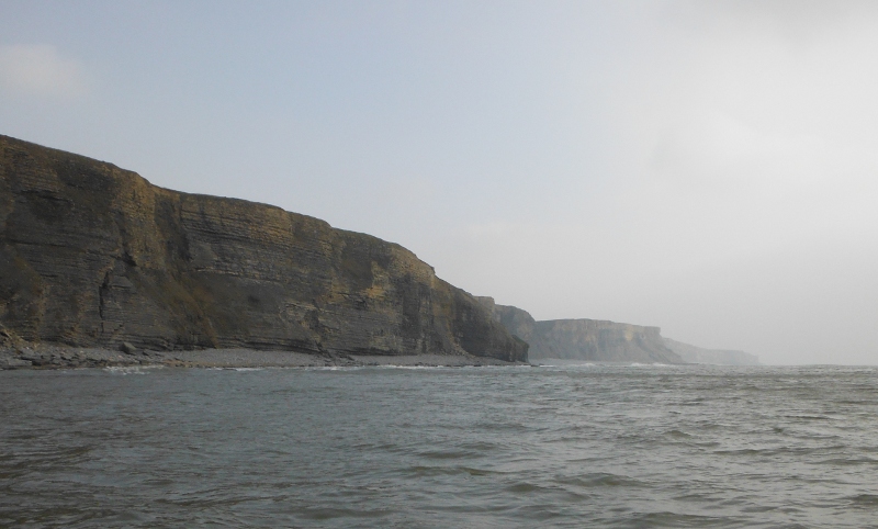
A bit further along, and another look along the cliffs.
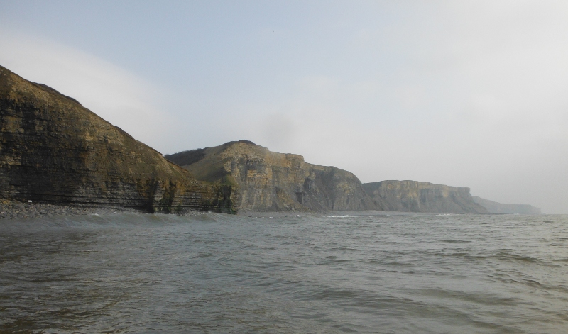
Another couple of pictures as I headed along the coast -
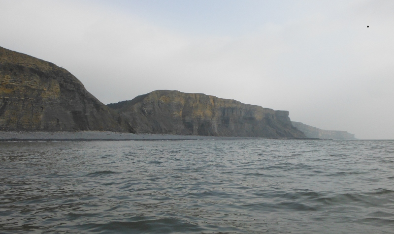
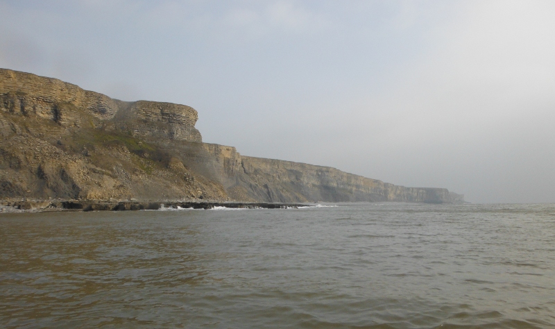
Now this next headland is somewhat etched in my mind -
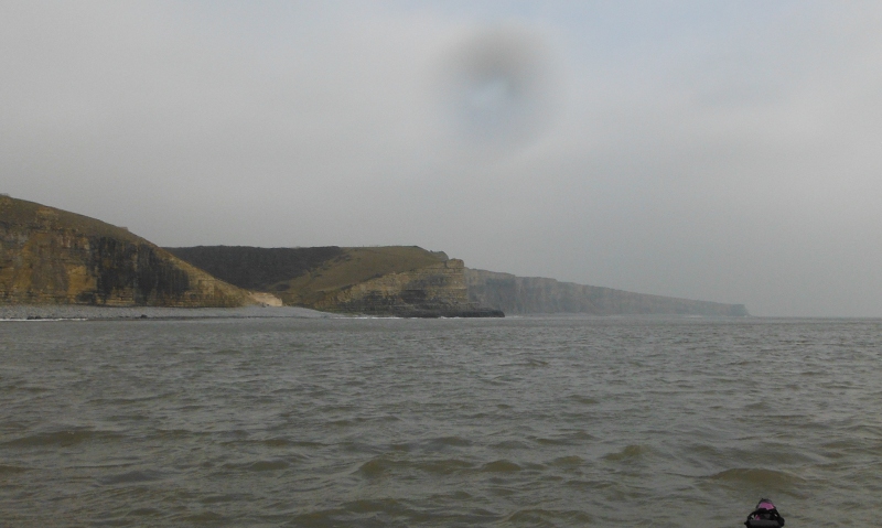
After taking this picture, it took me something like 15 minutes to reach the headland - the tide had well turned by now, and the combination of both wind and tide against me meant my progress was infintessimately slow.
I am fairly certain that it is the headland at SS 903 700 - the trees up on the hill are a good indicator, and there were a few surfers in the water, so there has to be a car park not too far away. Which means that the headland in the distance is Nash Point.
I was determined to get to the headland - I got there - and just to proof it, here it is, what fabulous layers of sandstone.
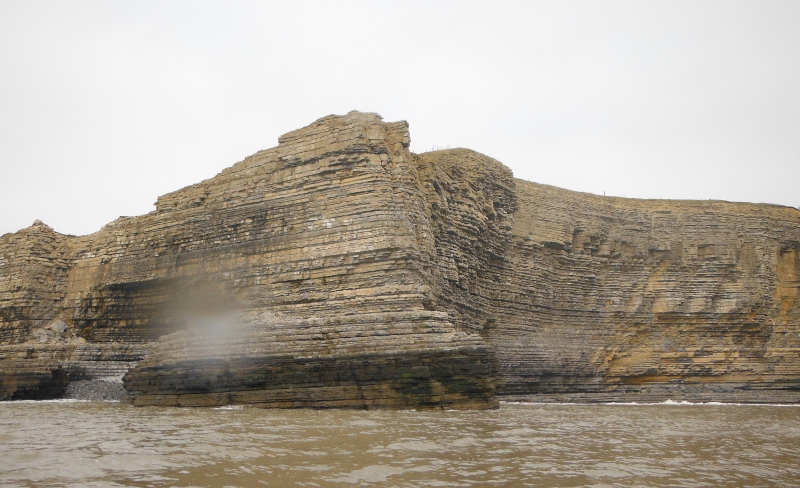
It was quite clear that I wasn`t going to get to Nash Point, the east wind had won, I had nothing left to fight it with.
Nash Point will have to wait for another day.
The story continues in part 2.