ron-t kayaking blog
01 July 2015 ............ Porth Oer to Bardsey Sound
It has been a while since I have been down the Lleyn Peninsula, so I went down to Porth Oer, to paddle down the coast toward Bardsey Sound.
I had no idea how far I would get, it wasn`t my intention to go particularily far - the book "Welsh Sea kayaking" has an entry about this bit of coastline, and contains a few warnings about the races which occur around the various headlands - so I had no idea what I was going to meet.
I left Porth Oer - also known as Porthor and the Whistling Sands - probably somewhere around the mid ebb tide, and headed off.
It isn`t long before you see the first headland, Dinas Bâch -
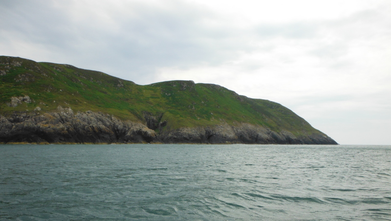
The rock formation you can see in this picture pretty much sets the scene for the whole of the rest of the coastline right down and into Bardsey Sound - there aren`t really any stunning huge cliffs, but these steep sloping rock faces continue on and on, with few breaks, even fewer landing places, and no escape routes. It is a totally committing stretch of coastline.
One of the problems you have with this bit coastline is the fact because the whole coastline looks the same, it is quite difficult to work out just where you are, how far you have gone, or which headland is which.
So I think in the stuff that follows that I have got the names correct, but I may well have got some of them wrong.
There are a few caves along the way, but few of them are of a decent size, and I couldn`t get into most of them because the swell made the inside of the caves rather inhospitable.
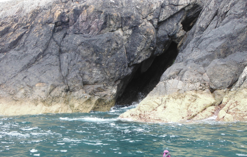
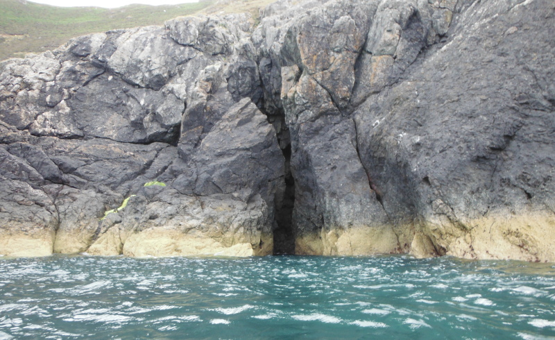
There were some races around Dinas Bâch and Dinas Fawr, but they didn`t cause me any grief, and eventually I could see down to Braich Anelog.
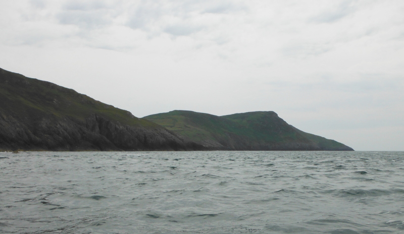
More caves -
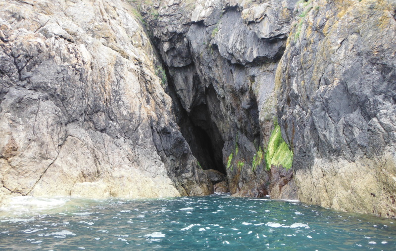
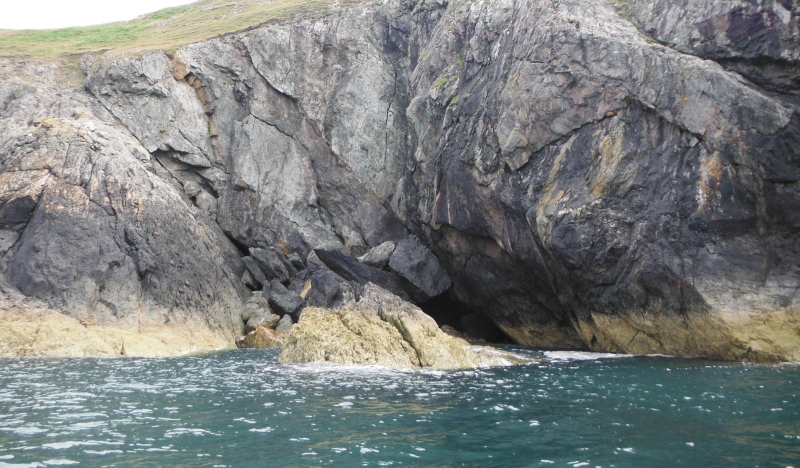
and a bit of an inlet that provided a nice framework for a closer view of Braich Anelog.
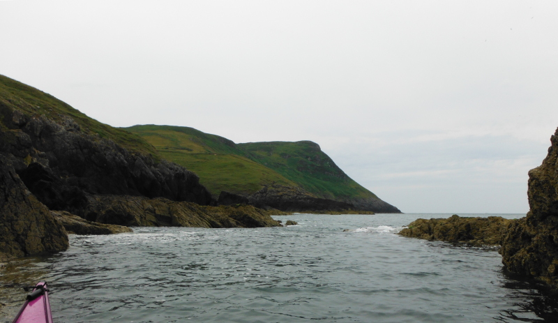
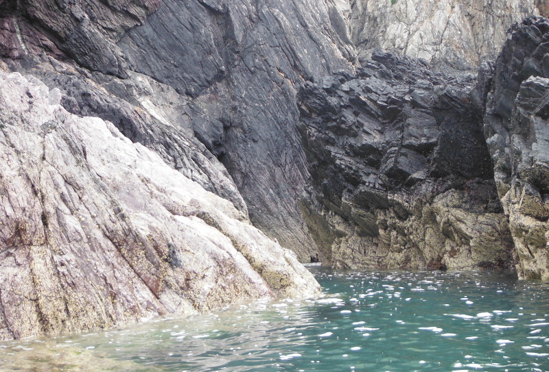
At one point I came across a fascinating passageway that went away in behind a big block of rock, and I headed into it, followed it around, confident that it went right through, because I could see the swell coming through.
However at the far end there was a sort of rock dam - the swell was coming in over the dam, but there was a vertical wall of water and rock about 600 mm high, so I couldn`t get through, and had to reverse all the way out again.
This is looking in to the start of the passageway.
I have no idea whether the next few pictures were taken before or after Braich Anelog - the book shows a tiderace around Braich Anelog known as the Tripods - maybe it is an overfall, rather than a tiderace - it was certainly very evident - it was a section of sea that had very large long waves. It wasn`t a problem to go through, but there wasn`t any way to avoid the waves, as they came right into the rocks - so no sneak route past them.
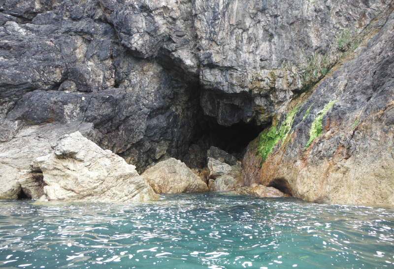
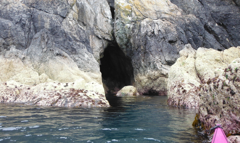
Another cave - the boulders at the mouth of the cave are very typical of this bit of coastline - a lot of the inlets and caves had these boulders lying at their entrances - the rock face seems to drop them fairly frequently - that is, frequently in geological terms.
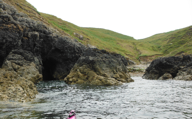
Then a break in the cliffs - a small beach beside another cave - this was the first place I could have landed since leaving Porth Oer, although I didn`t.
I think it might be Porth Llanllawen.
I couldn`t get into the cave because of the swell, but it sounded as if it went in and curved round quite a long way.
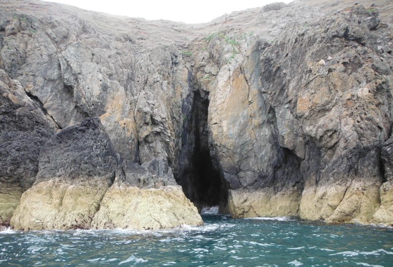
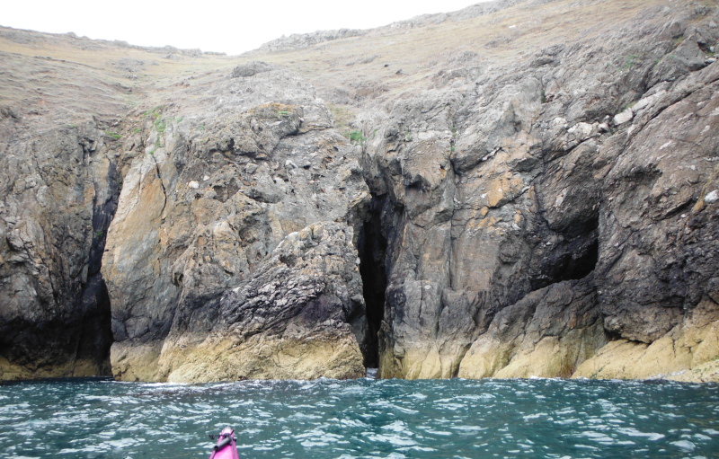
Then a couple of caves quite close together - quite deep, but I again, I couldn`t really see in.
Now I was heading towards Braich y Pwll - here three significant things happened.
Firstly - the book "Welsh Sea kayaking" says to expect races or overfalls around the various headlands - but I don`t think that the sea around Braich y Pwll fits into those categories - the ebb tide flowing down the coast gets pushed out a bit by the headland, gets compressed, and speeds up to form a much faster current right in against the rocks - then when the coastline curves round the headland, the current doesn`t - it goes straight on, and forms a strong diagonally outward fast and very lumpy evil looking wave train that heads away out to sea roughly in the direction of Bardsey Island.
As you come round the headland you have to break out of this current into the eddy behind the headland - if you don`t, you will be swept out and into the race.
There is no sneak route close to the rocks, the fastest current is beside the rocks.
If you don`t know how to break out of a current like this and into an eddy, I don`t think that this is a good place to learn.
After I had passed through it, I watched a yacht coming down the coast towards the race about 200 metres offshore - I really don`t think he knew what he was getting into - he headed into it to cross over, and got stuck in it broadside on, he just seemed to lose all his forward speed, and by the time he escaped he was a lot further out to sea.
The second thing that happened is that just as I was negotiating this current - I realised that suddenly I had a view right down to Bardsey Island - my first view of Bardsey Island.
However I was a bit too busy to stop and take a picture !
And thirdly, the direction of the current changed - all the way down the coast I had been enjoying the south flowing ebb current. As soon as I passed Braich y Pwll, I was into a north west current flowing up through Bardsey Sound.
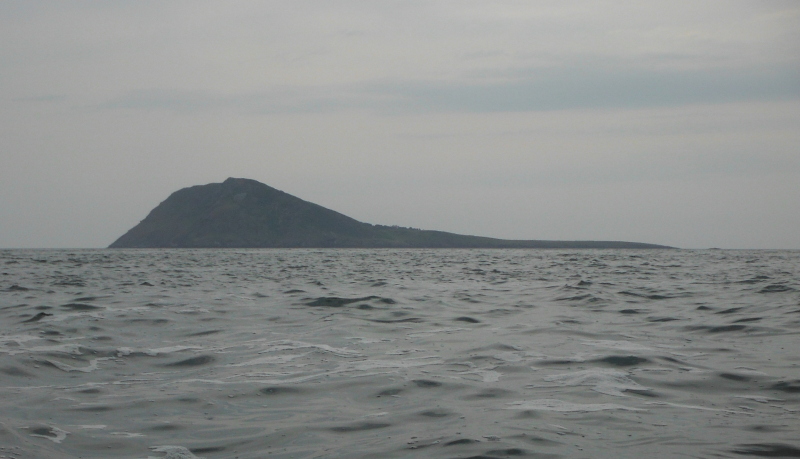
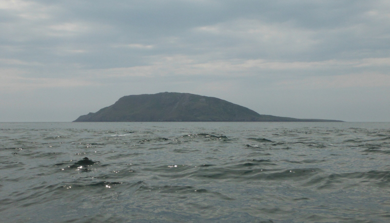
It was quite a distance before I could find somewhere quieter to stop and take a picture of Bardsey Island - here it is - a rather grey Bardsey Island.
I continued along the coast heading south east, and eventually came to a bay where I could land for a break - I am not certain, but I think it would have been Porth Felen - it looks as if there is a path coming down from up on the hillside.
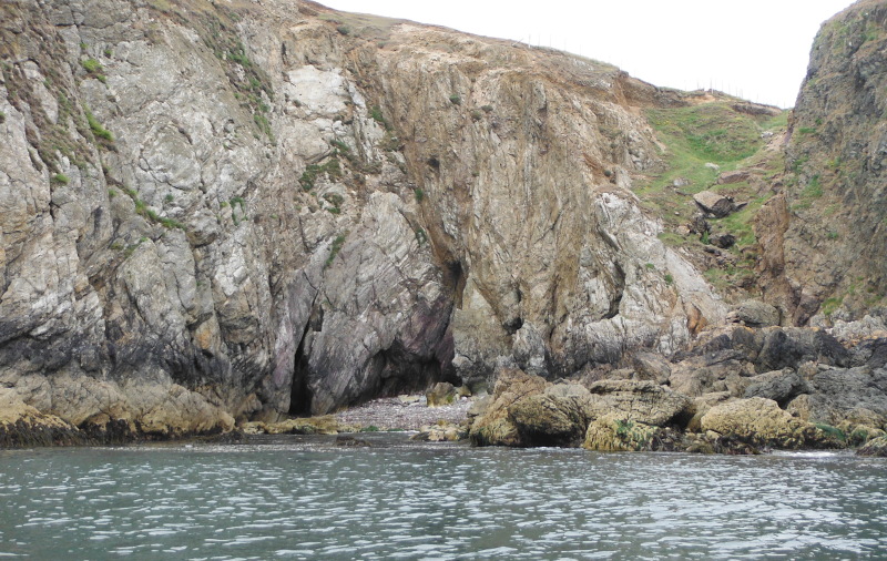
I think the beach would be useable at low and medium tides, but it looked as if there would not be much of it left at high tides.
There are nice rock formations at the base of the cliffs where the sea has eroded the rock, with mini-caves in at the back - I wonder how soon it will collapse.
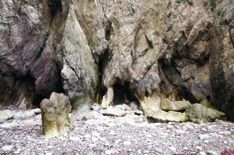
After a tea break, I headed out, and saw that was still another hour or so until low tide. So I headed off to Carreg Ddu.
This is sitting beside Carreg Ddu, looking past the last headland Pen y Cil - you can just make out the headland Trwyn Cilan - which is away across Hell`s Mouth, and is the most southerly point of the Lleyn Peninsula.
Braich y Pwll is the most westerly point of the Lleyn Peninsula.
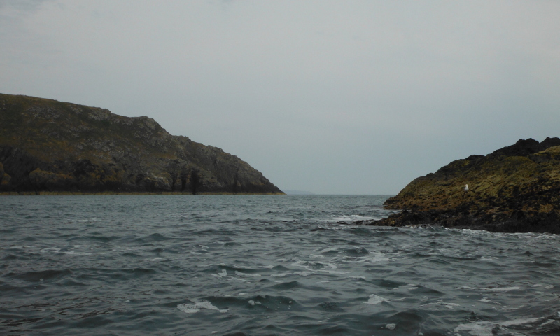
Round the far side of Carreg Ddu there was a strange sense of being at the end of the world - away to the south and east there was nothing - just sea and sky.
Back round Carreg Ddu, and looking across to Bardsey Island again - I slightly different viewpoint from before, but still looking rather grey.
It would have been perfect conditions for a trip across to Bardsey Island, it was just on slack water, the sea had calmed down - but I wasn`t really tempted - I have no idea what Bardsey Sound is like once the flood tide gets going, and this was the last slackwater during daylight hours.
Back across to Braich y Pwll again, and the current was just a shadow of its former self, so not a problem to paddle back round the headland against the current.
However the rest of the journey back wasn`t so much fun - despite the fact that it should have been past low tide, it was still a south going ebb tide the whole way back to Porth Oer, so it was a bit tedious and a bit of a struggle - it seemed to take a long time to get back.
On the way I came across a few features I had missed on the way down - first of all another cave - at this point I have no idea where it was, but it looked to be quite a big one, but with a big pile of boulders halfway in which blocked me. I am not sure if you might be able to get over them at high tide.
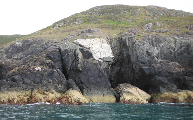
Then I came across this bit of the coast where it looks like a huge big chunk has sheared off the cliff face.
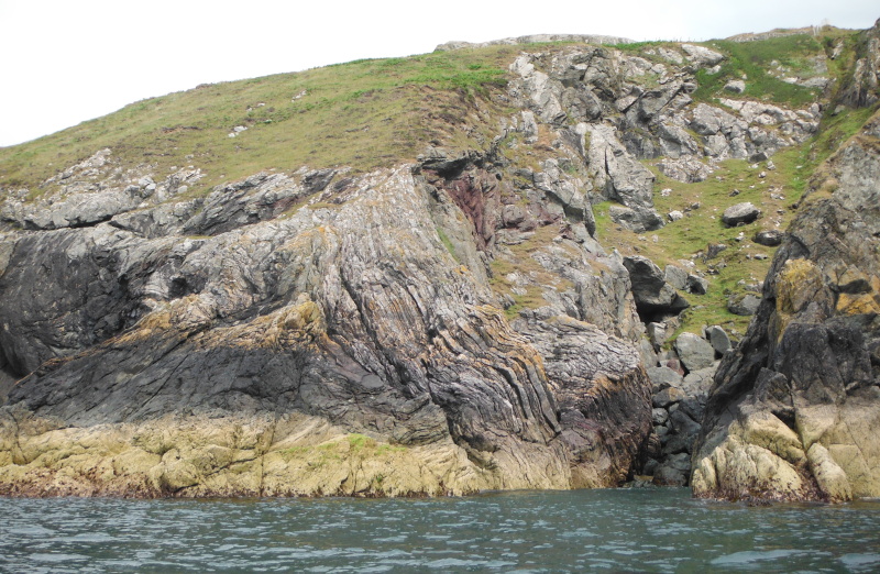
This is really the only bit of rock face that shows something of its structure, and shows how the rocks got all twisted up sometime away back in time.
So that was my trip down that bit of the Lleyn Peninsula - I had no idea when I set off that I would get so far round into Bardsey Sound - I think my tidal timing worked out quite well, although I could have done with the flood tide when I was coming back up the coast.
It was an interesting trip, with some good wee challenges to liven it up, but not the most spectacular bit of coastline - not as good as the bit of coastline to the south of Trefor, where you paddle past Yr Eifl and past the huge cliffs at Penrhyn Glas.
The saddest part of the day was when I had landed and was packing up - the Whistling Sands of Porth Oer may whistle nicely when you walk across them, but they are very sticky, and by the time I had my boat back up to my van, the underside had half the beach stuck to it.
I was trying to brush it off before putting it on the roofrack, and the boat fell over on to its deck, and my lovely glittery deck got a whole lot of scrapes on it.
The hull may be only an approximation of what it once was, but I have always managed to keep the deck relatively clean - sadly, it is now feeling rather sorry for itself !