ron-t kayaking blog
19 January 2014 ............ Penmon and Puffin Island
Over the last few weeks of stormy weather I`ve spent quite some time doing various modifications to my boat - mostly things related to my comfort and safety, and how I interact with the boat.
So it was quite handy when an unusual calm period in the weather coincided with my boat being in a state in which it was useable.
So I headed down to Penmon and Puffin Island - there was a lot less wind than on my last two trips there, so it was easier going, and I took far too many pictures. So here are some of them.
It was high tide when I set off, just after Springs, so a big tidal range.
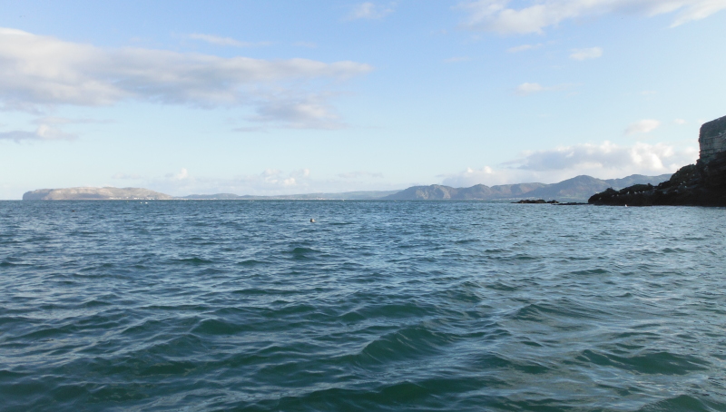
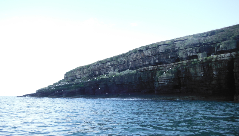
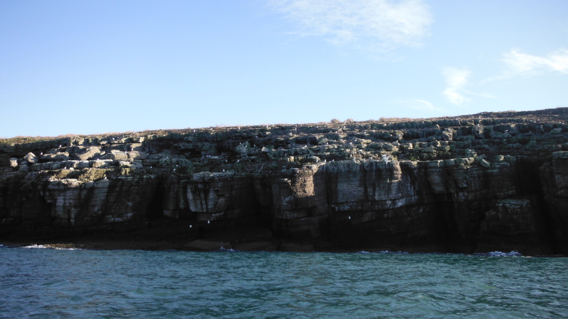
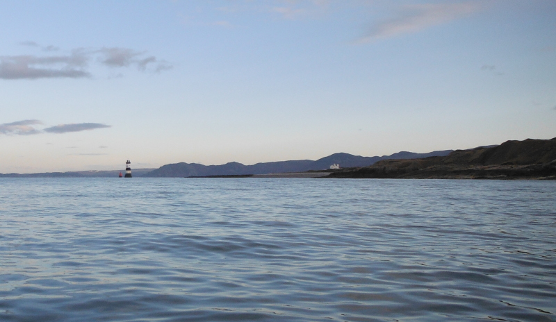
Firstly, this is looking eastwards as I head towards Penmon Point - the old quarry buildings on the left, then Penmon Point, then across the sea to Great Orme.
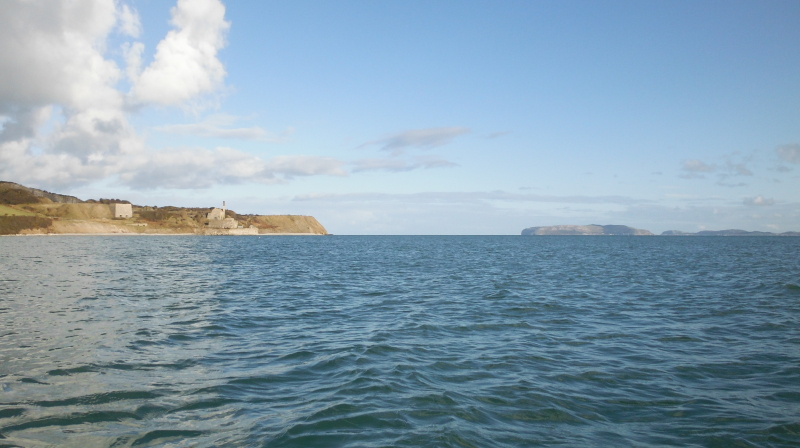
There was a strange agitation in the water around this corner of the old quarry buildings, but it wasn`t a problem to paddle through.
However on the way back a few hours later, when the tide had dropped by some 2 metres or so, I discovered that the sea bed around there was covered with several concrete blocks with steel loops sticking up out of them - they would have made quite mess of the boat if I had hit them.
Just past the quarry buildings you come to Penmon Point, or Trwyn Penmon - it isn`t Penmon Point that looks across to the lighthouse and to Puffin Island - that point is Trwyn Du - Penmon Point is a rounded area of coastline with cliffs.
Down at the bottom there are two interesting looking slabs of rock jammed against each other - I wonder how soon they will collapse.
After Penmon Point things began to get interesting as I headed towards Puffin Sound - my intention was to paddle across Puffin Sound, and out along the southeast side of Puffin Island.
By now it was about an hour into the ebb tide - a Springs ebb tide - and as I paddled out into the sound, the current got stronger and stronger.
I started of with a ferry glide out towards the red marker, but increasingly it was clear that this wasn`t going to work, I was gradually getting washed backwards, with no possibility of going to the south of the marker, which is what I had to do, to avoid the tide race.
So my angle had to change so that I was mostly paddling upstream, my power output had to increase to maximum - and very very slowly I managed to creep upstream, and just cleared the marker.
Phew !
I then had to keep this up all the way across until I got to Puffin Island.
It is an interesting thought about how fast the current was - I don`t know how fast I can paddle for a short length of time - 5 knots ? - 6 knots ? - 7 knots ? - I don`t know - but I doubt if I was even 1 knot above the current.
At the time, I was totally focussed on getting across the sound, but I did notice that after the red marker, the leading edge of the tide race was a beautiful looking but quite shallow green static wave maybe about 50 metres wide - I was crossing in the smooth water just above it.
Now of course at low tide levels, there is a long tail of rock shelf and boulders stretching out from Puffin Island towards the red marker.
So it is a good sea bed to cause such a wave - and I now wonder if it would have any play potential for my boat, which likes long green waves - would it be surfable ?
I don`t know how you would get back to it if you got washed off - which is quite probable in view of the speed of the current. It might be possible to power up close to Puffin Island, I really have no idea.
There are plenty of tide races around Anglesey, but few static waves, so it is worth another look.
Back to my trip - and as I headed out along Puffin Island the current slowly lessened off, and I could go back to laid-back mode.
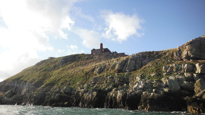
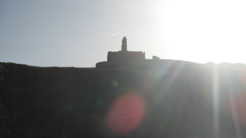
Here is the remains of the telegraph station at the east end of Puffin Island.
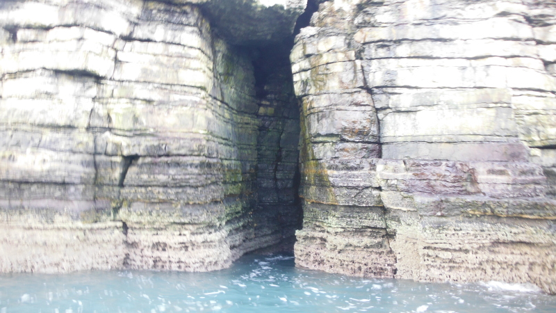
Just past there, and there is a bit of an undercut in the very layery rocks -
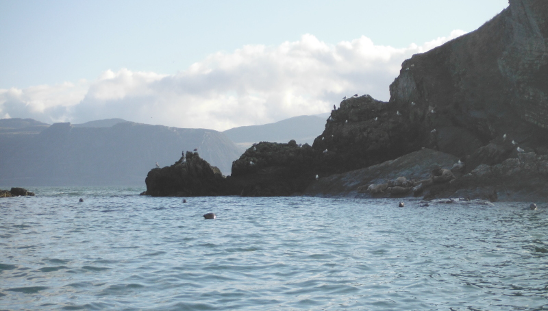
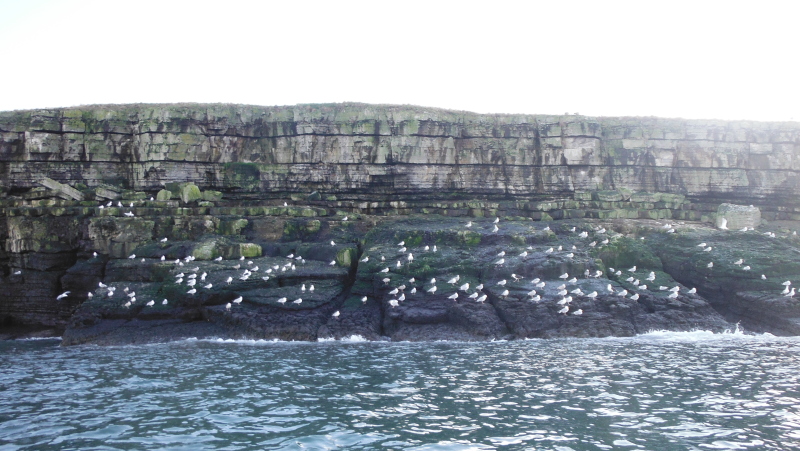
The far end of Puffin Island is well known for its seal colony, here was my first sighting.
Round the point, and there were loads more, both in the water and up on the rock slab, although they are not too obvious in this picture.
They show up a bit better in this picture.
I spent quite a time trying to photograph them, but they did not like being photographed. They would come up quite close and just hang there and watch me, but as soon as I pointed the camera at them, they were gone.
So I ended up with a lot of pictures of empty sea.
All the way along the north west coast of Puffin Island I had a problem with the sun, as it was just above the cliffs.
So lots of pictures didn`t work, however sometimes technically bad pictures are rather good - here is the telegraph station again.
An unsuccessful photograph of a seal which dissappeared too quickly for the camera, but I did get a good view looking across to the North Wales coast, and another seal in the distance.
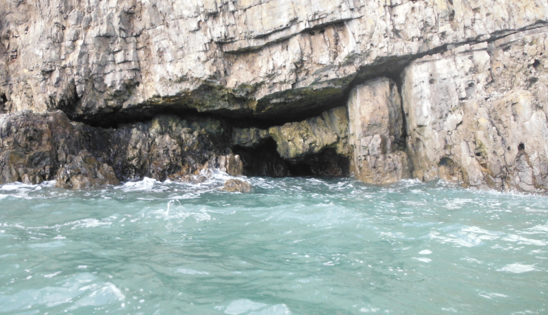
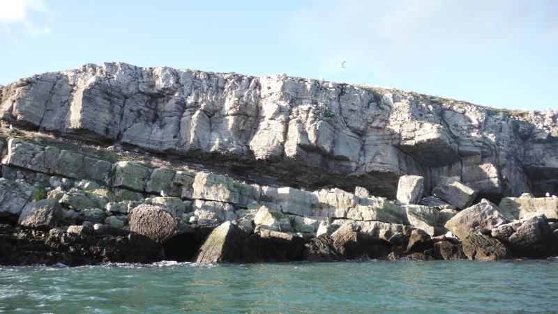
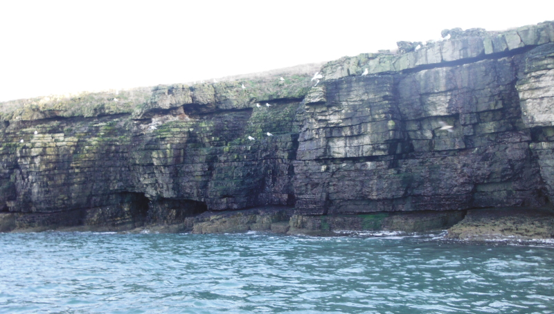
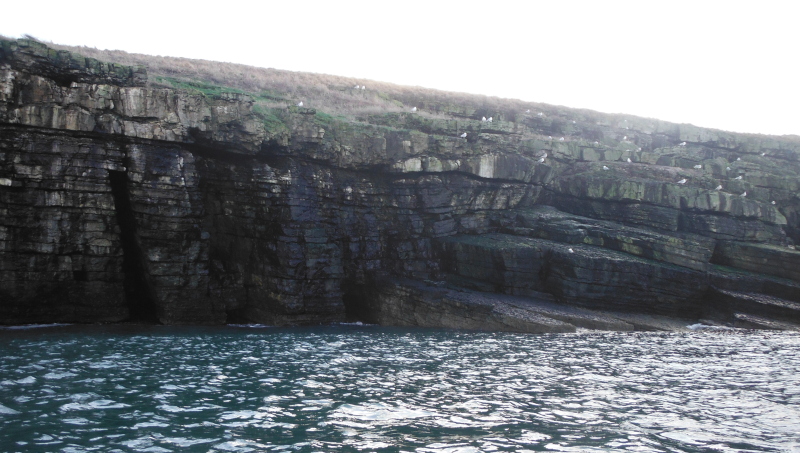
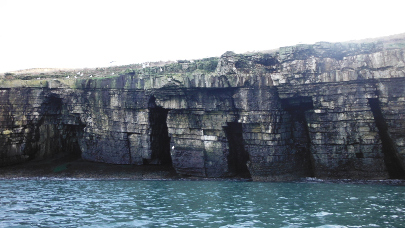
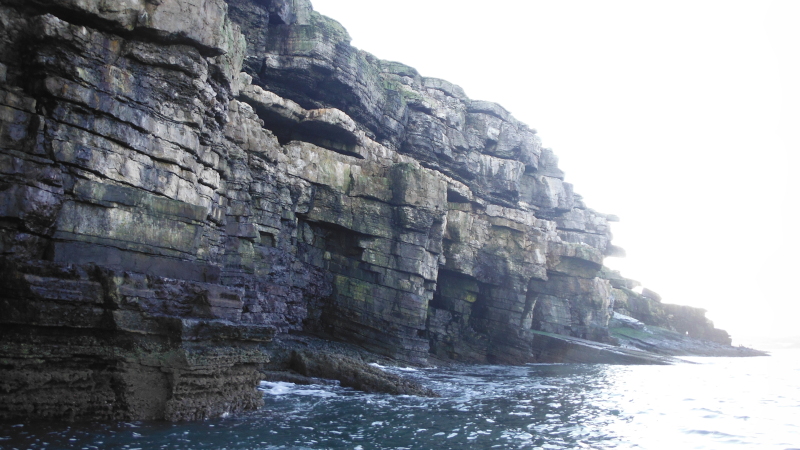
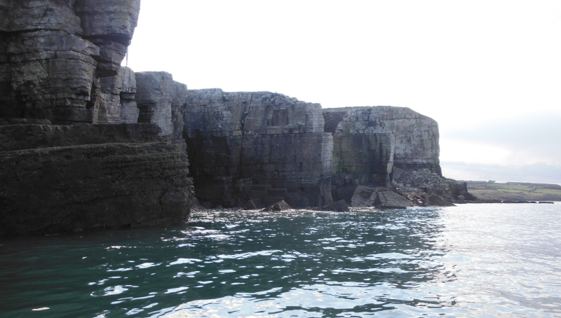
A bit further along and there are some quite strange rock formations, with massive layering, rock shelves, and small caves.
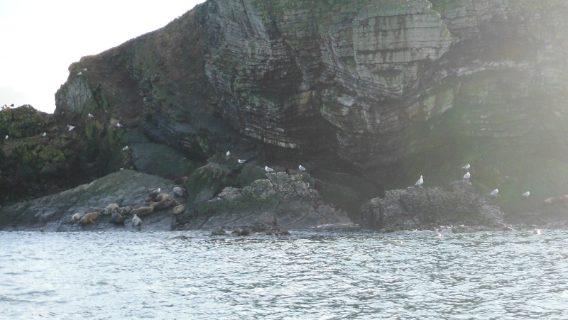
More seals -
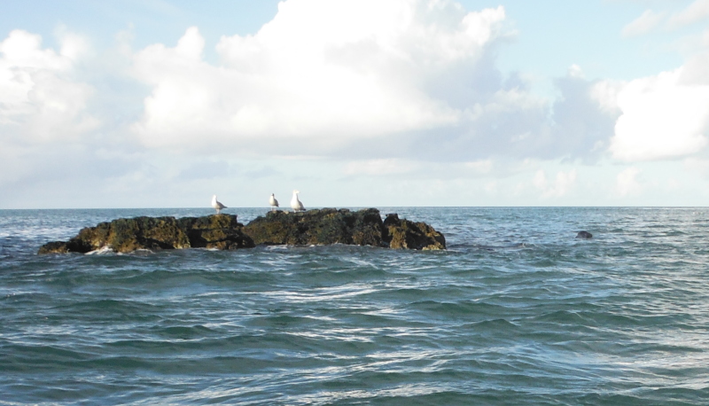
Some of the other local inhabitants - and more cliffs and rock shelves.
One of the caves.
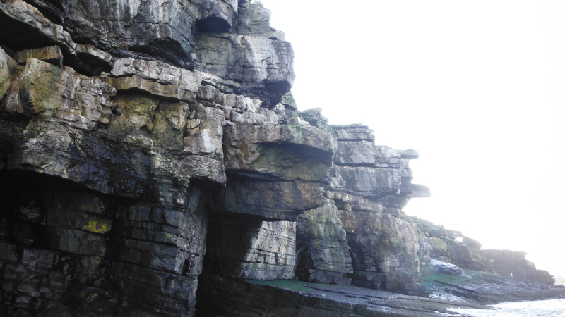
More cliffs, and some big overhanging rock shelves.
The sun shining along the top edge of the cliff, highlighting some of the rocks.
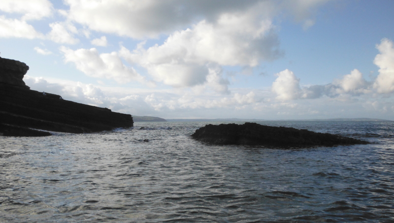
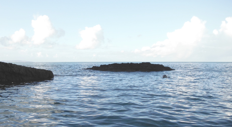
Eventually I got to the end of Puffin Island, and it was time to head back across to the mainland. There wasn`t much current out here, but at one point I got into an eddy, and found myself getting slowly washed back towards the sound.
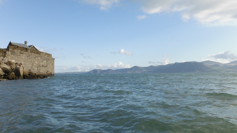
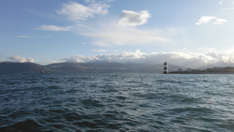
Some way across, and looking south beyond the lighthouse and Trwyn Du to the far side of the Menai Strait.
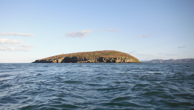
Looking back to a sunlit Puffin Island.
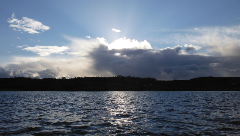
However the sunshine wasn`t to last - just a short time later -
Here`s why - and it was coming my way.
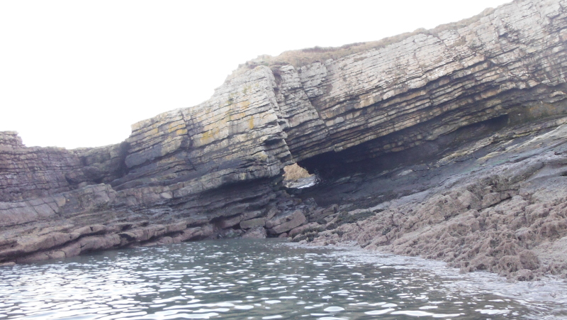
I headed into one of the bays on the coast on the mainland, and the tide was still high enough to get fairly close to this arch or hole. You can walk to it quite easily from Trwyn Du.
After a pitstop on the beach, I headed further up the coast towards Trwyn Dinmor, which is quite a distinct headland - at least it used to be before another quarry removed big chunks of it.
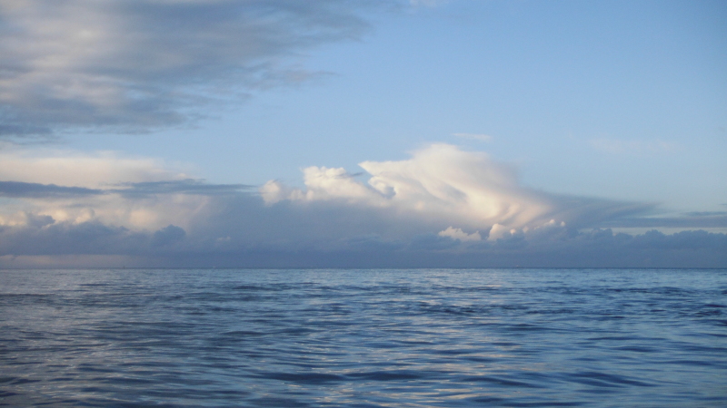
Away up to the northwest, somewhere in the middle of the Irish Sea was enjoying a massive storm.
There was by now some strange luminance in the sky above the hills above Penmaenmawr, but I`m not sure if the photograph really catches it.
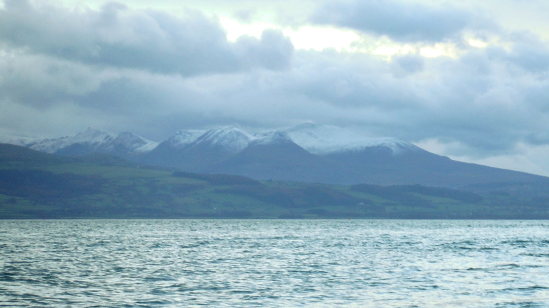
The last pictures - looking across to Snowdonia from Trwyn Du - in the first picture the Carneddau are in cloud on the left half of the picture, and the line of summits up to the west of the A5 in Nant Friancon are on the right.
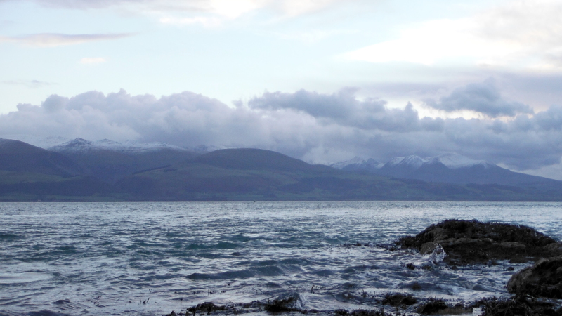
In the second picture, a closer view, with the big mass of Elidir Fawr on the right, and Y Garn on the left. The Glyders and Snowdon itself are hidden by other mountains.
website design by ron-t
website hosting by netnerd.com
© 2025 Ron Turner
![]()
![]()