ron-t kayaking blog
06 May 2013 .............. Porth Dafarch to Rhoscolyn Head
Another beautiful day on Anglesey, with little wind.
Looking at the tide tables, I could see that it was an ebb tide up to about four o`clock, then it was the flood. So it was ideal tidal conditions to go back to Porth Dafarch, and head down to Rhoscolyn Head.
It is in places another quite stunning bit of coastline, but it does get a bit suburban around Treaddur Bay. Round Rhoscolyn head it is fabulous.
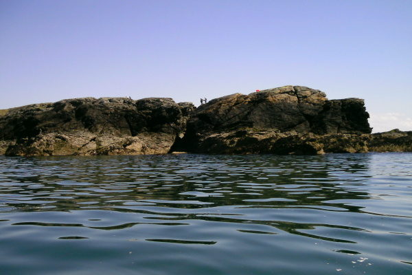
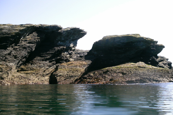
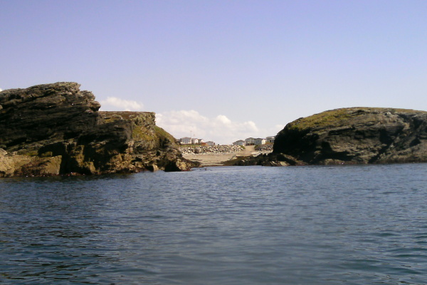
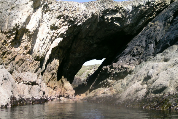
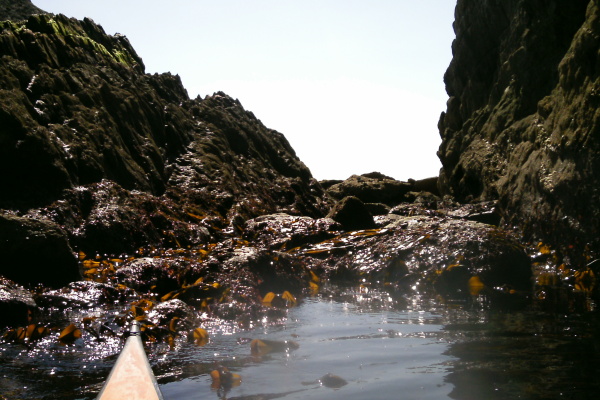
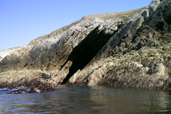
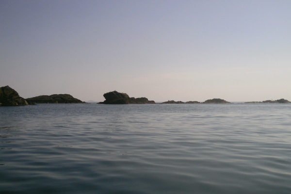
The drama starts almost as soon as you leave Porth Dafarch, as Dafarch Point has some superb rock formations.
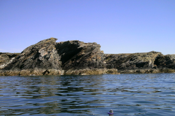
You can`t go anywhere round Anglesey with seeing some amazing examples of the way the rocks have been reshaped around Anglesey, and here is a place where the rocks have been folded up like a concertina.
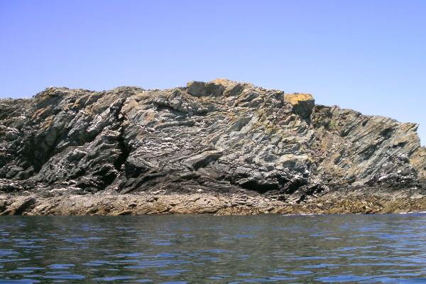
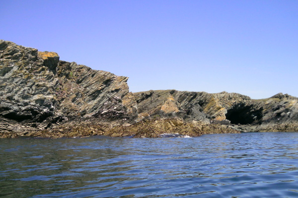
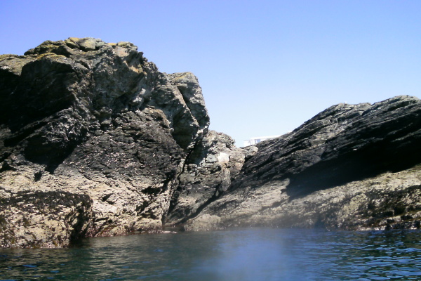
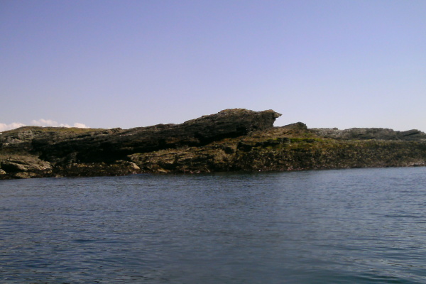
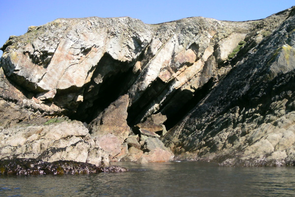
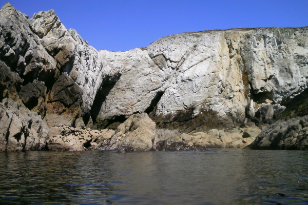
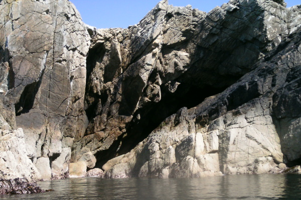
Then more good rock formations -
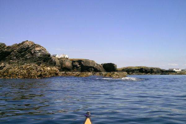
There is then a small beach which isn`t shown on the OS map - it doesn`t look like it, but you can sit on this beach completely hidden from view of both the road and the houses, so it is a bit of a rarity along this bit of the coastline.
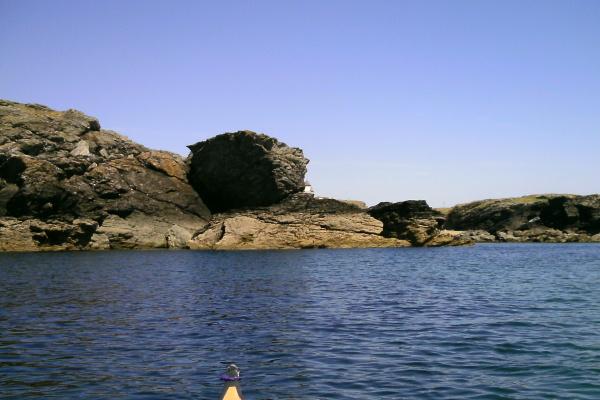
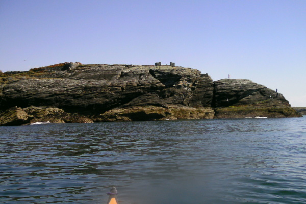
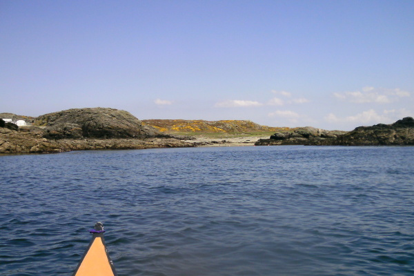
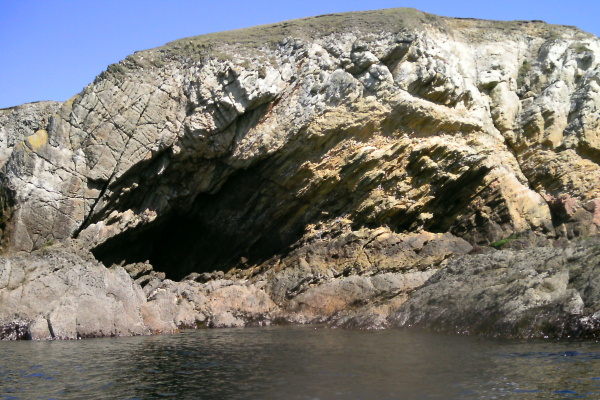
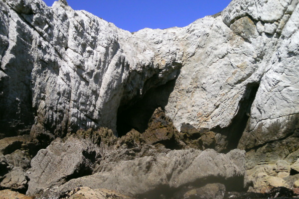
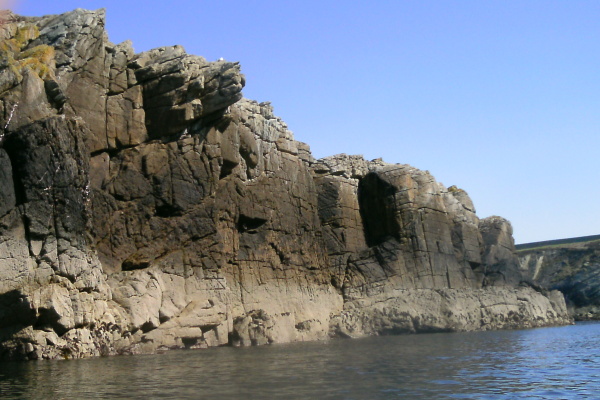
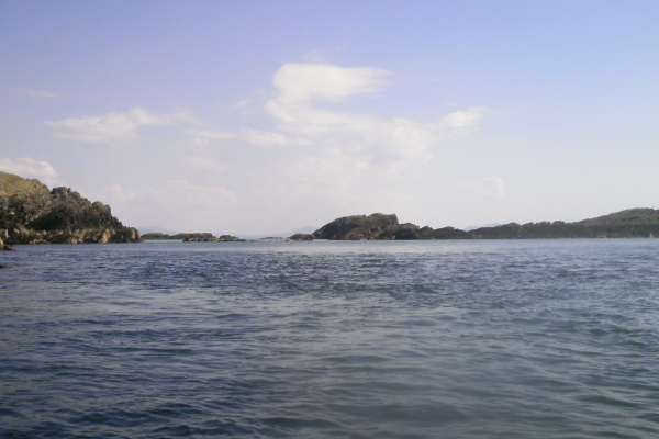
The coastline is beginning to go downhill a bit now, after some more rocky bits you come to Porth-y-post which is completely overlooked, but does have its own little geological feature.
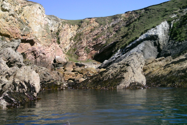
After Porth-y-post there is some interesting but not spectacular rocky bits -
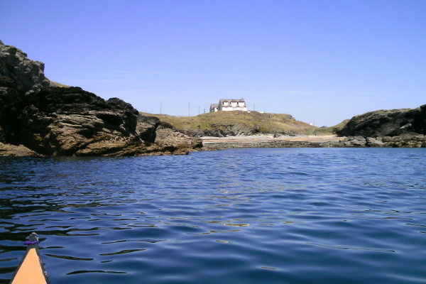
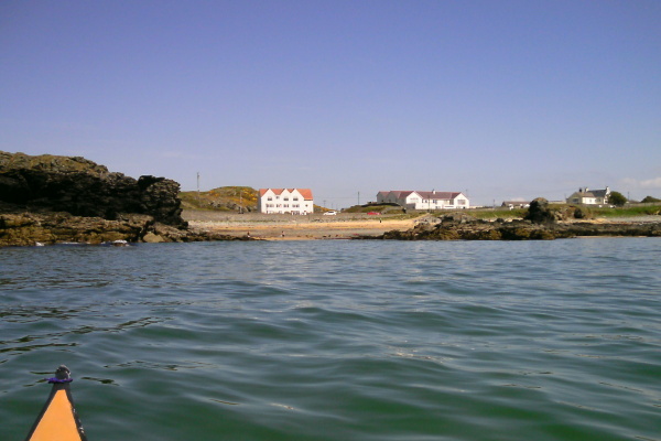
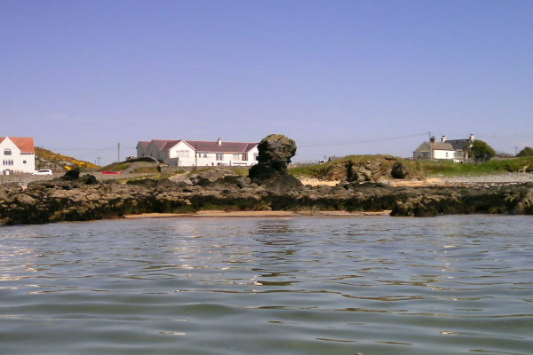
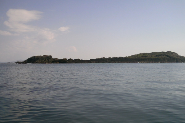
Then things go a bit downhill as far as I am concerned - lots of beaches, various rocky outcrops, and suburbia !
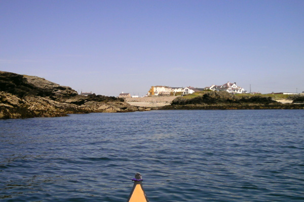
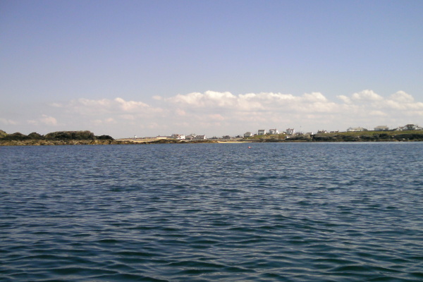
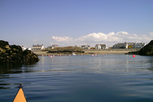
In some respects, Treaddur Bay has quite a lot to offer for sea kayakers - easy access, beaches, islands, headlands without the angry seas that can go with headlands - lots of places to play about. However I like to get away from civilisation when I`m out on the sea.
Somewhere along Treaddur Bay I got a blob of something on the bottom of my camera lens, and I didn`t know about it until I got home and down loaded all the pictures on to my computer - several pictures had to be binned, but I had far too many anyway, so it was not a disaster. You can see it to some extent on all the remaining pictures on this page, but mostly it is not too intrusive.
Once you head out of Treaddur Bay the coastline gets a bit more interesting again.
Now the next thing that somewhat screws up this webpage is that after Treaddur Bay, I don`t really know where some of the pictures were taken. I know the order they were taken in, but I`m not sure how far along the coast they are of. So I think, but I don`t know for sure, that this is Ravens Point. I took loads of pictures of headlands, and can`t work out where they are.
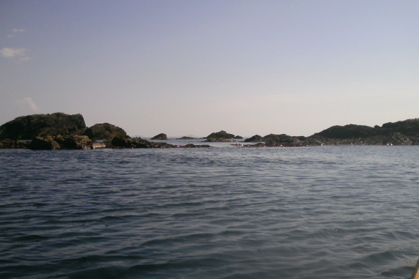
After a while we get a beach of unknown name - part of the trouble is that I passed more beaches than are shown on the OS map, so this is a bit confusing.
Then there is a not very exciting bit of rocky coastline, except, if you have a good imagination, it looks like a seal -
And then another unknown beach.
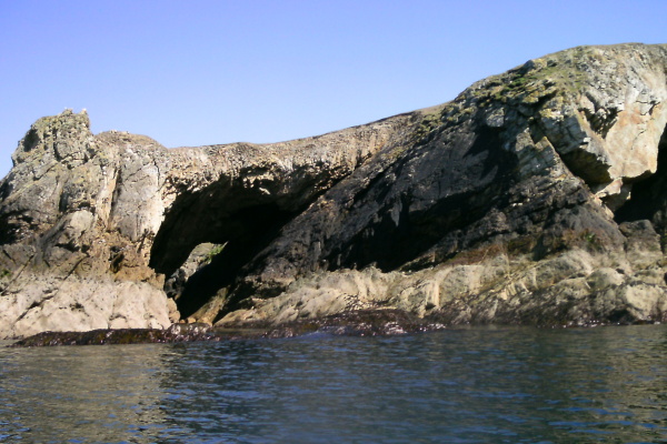
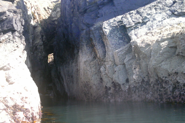
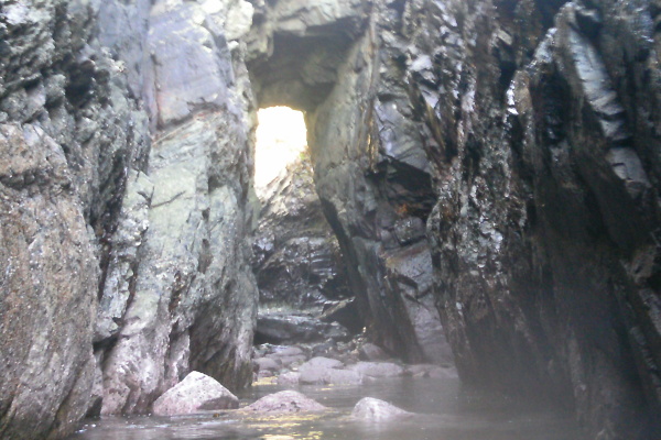
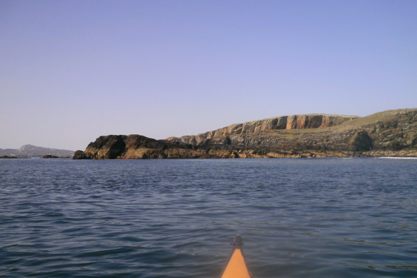
In the last 2 km`s before Rhoscolyn Head the coastline climbs way up on the drama scale. This is the first of three arches before Rhoscolyn Head, and immediately beside it, there are some large holes into the cliffs.
After a bit, you come to the somewhat famous white arch.
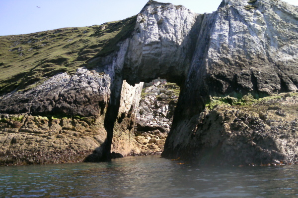
It was pretty much low tide when I was there, and I soon discovered that at low tide, you can`t paddle through it. At least, you can just about paddle through it, but after the arch you are stuck in a little puddle of water surrounded by a lot of slimey seaweed, which was fairly yucky. You can`t get out to the sea.
The arch actually cuts through a sort of white headland which runs parallel to the coast, so after paddling round the headland, you can paddle some way in, but then meet a boulder field, so it is a no-go zone at low tide.
There are some quite impressive cliffs in there - the first picture is the general appearance of what is in there, the second one shows the back side of the arch in the corner.
It is worth pointing out that at higher tides, even though this area may be under water, any kind of waves or swell coming in is going to meet all these boulders and rocks, and some quite chunky seas are going to be the result. I`ve seen it from the coastasl path, and it was not very user friendly.
Now this trip seems to have been plagued by little difficulties - and here is another one.
The problem is, I don`t know where it is - in my sequence of photographs, it comes between my photo of the front of the white arch, and the photos of the back of the white arch.
As far as I can remember, I went straight from the front of the arch round the headland to the area behind the headland.
So where is it ?
I have no idea !
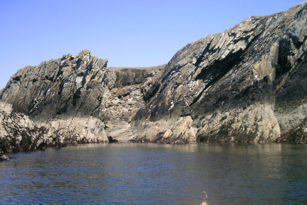
You don`t go too far until you come to some more quite spectacular bits of the coastline -
Then this - this is some wall of rock !
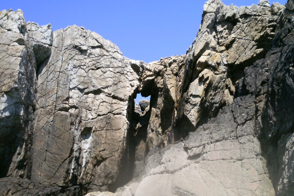
Part of the way along it ( at least I think that this is where this is ) - there is a striking sort of high arch, and looking through the arch, you can see another feature, where a huge chockstone sits in a giant V.
Two features for the price of one !
This really is the most amazing bit of coastline - and there`s more - because we now get to arch number three - deep in the back of a long narrow slot.
Back in February, I walked over the top of this arch, and photographed the slot ( it is in the trip blog ). But I seem to have completely missed the fact that it was an arch, so I have no idea what lies through the arch - again, because of the low tide, I couldn`t paddle through it - I don`t know if you can at higher tide levels.
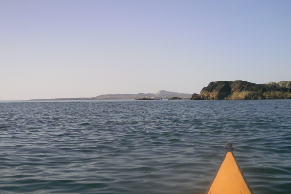
Just before you get to Rhoscolyn Head, there is quite a significant bay - there isn`t a beach, but this is what it looks like - again, more impressive rock formations.
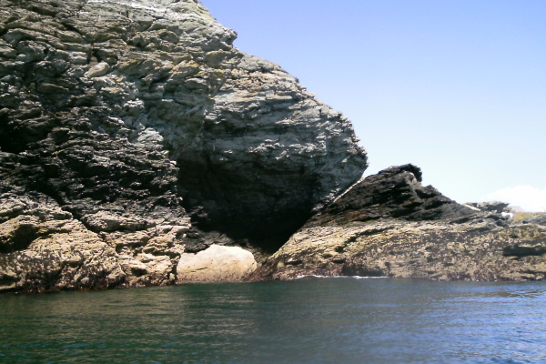
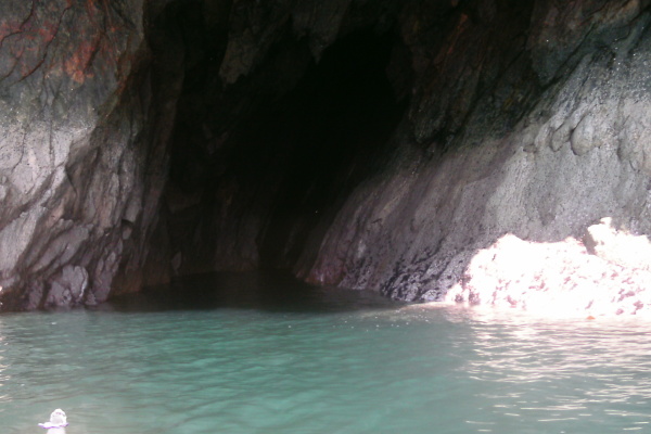
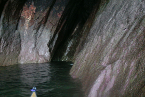
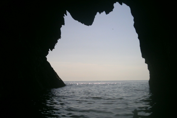
And finally, you get to Rhoscolyn Head - but this isn`t the end of the story - going round Rhoscolyn Head you start a whole new chapter of discovery and a whole different kind of scenery.
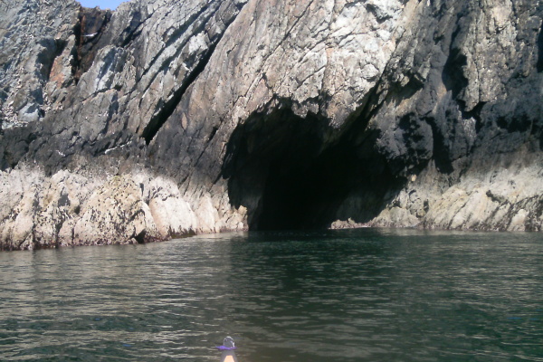
One of the first things you find is a cave - a large classic sea cave. It`s a beauty, you can paddle right into it even at low tide. In the back right corner there is a long sub-cave - I couldn`t get too close to it because of the swell, but I could see the swell breaking a long way in.
But the thing that now dominates the landscape - or rather, the seascape is - islands - loads of them.
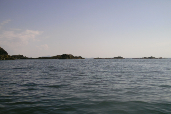
As you head round, more and more of them come into view, and not only islands, for beyond them you start to see the mountains and hills on the Lleyn Peninsula.
The long island in the next picture is Maen-y-frân. The lump at the left end is actually another island further back, as you can see from the folowing picture.
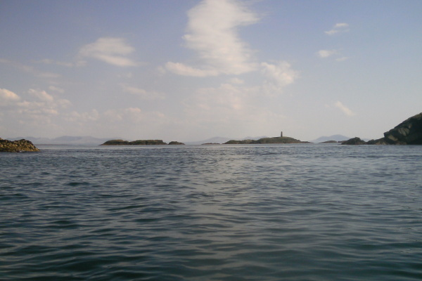
Finally Rhoscolyn Beacon is fully in view, and beyond it the lower end of the Lleyn Peninsula is exposed as well. If you look closely at the right hand side, you can also just make out Bardsey Island - which is 55 km`s away.
![]()
I wanted to go on and explore the islands around Rhoscolyn Beacon, but I was already a long way from where I was parked, and I hadn`t had any kind of a break out of my boat - the next stopping point would be Rhoscolyn beach, which is even further away.
So I had to miss out on that, after thinking about it, I decided I would swing out around the outside of all the islands, pick up the now flood tide flowing up towards Penrhyn Mawr, and head straight back to Porth Dafarch in one go.
It appears that I can sit for longer in my Anas Acuta with a low front deck where my legs are nearly straight, than I can in a boat with more cockpit volume and a high front deck where my legs are bent up and out.
A couple of last photos before the batteries on my camera died - the first one is of Rhoscolyn Head itself, the second one is a bit further round, and shows Holyhead Mountain in the distance, and on the left - somewhat surprisingly - the huge flat plateau is the whole of the Penrhyn Mawr headland - including Dinas Stack, the southerly point of Penrhyn Mawr, and the westerly point of Penrhyn Mawr.
It was a most excellent trip, the scenery was good, the coastline around Rhoscolyn Head is quite stunning. If you are thinking of doing it, it might be an advantage to team up and do a shuttle, then you could do the whole way from Porth Dafarch to Rhoscolyn beach without the tedious return trip.
Also, I think it would be more fun at high tide, rather than at low tide.
However be aware that the sea around Rhoscolyn Head can be quite wild - it gets the full tidal currents, and is very exposed. I have seen it from up on the coastal path during a flood tide - to the south and east of Rhoscolyn Beacon, the sea was quite calm. To the north and west of Rhoscolyn Beacon there was a quick change to something very different - it was very rough and would have been quite challenging.
When I was there, even during the early stage of the flood tide, there were significant currents through the islands. It is quite a long stretch of coast line where there is nowhere to get off the water.
website design by ron-t
website hosting by freevirtualservers.com
© 2024 Ron Turner
![]()
![]()