ron-t kayaking blog
06 April 2013 .............. Porth Dafarch to Penrhyn Mawr
Saturday 6th of April was another beautiful day on Anglesey with very little wind, so I took the opportunity to go for another visit out to Penrhyn Mawr.
On my last trip out there, it was heading up to high tide - on this occasion I left Porth Dafarch just a wee bit before low tide, midday way between Neaps and Springs.
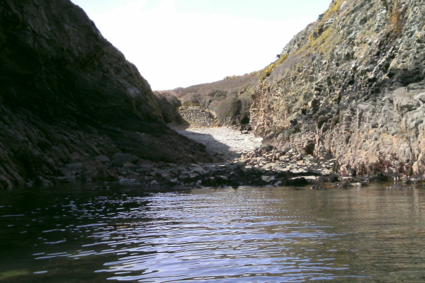
Quite a lot of the coastline looks pretty much the same as it does at high tide, but there are some significant differences. The first one you come to is Porth Rhwydau - at high tide it is an easy place to land, at low tide there is a barrier of boulders barring the way.
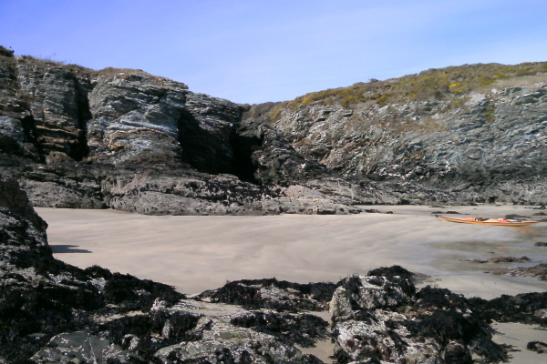
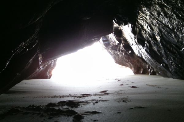
Just round the small headland, and at low tide there is quite a lot of beach - it is quite an attractive beach. The small inaccessible cove full of rubbish is now easily accessible, and the caves are high and dry. One of them is quite long.
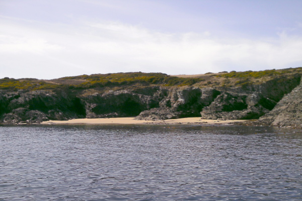
I am now wondering if this whole area where the beach is is actually Porth Rhwydau, rather than the small stoney beach in the corner. I don`t know !
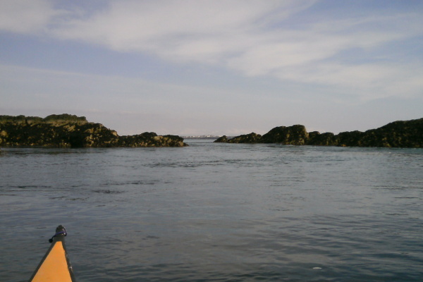
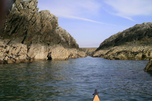
After that stop, I headed round to Dinas Stack - or rather into the narrow gap between Dinas Stack and the mainland - and landed on the boulders. Climbed up over the boulders, and then scrambled up onto Dinas. I finally made it !
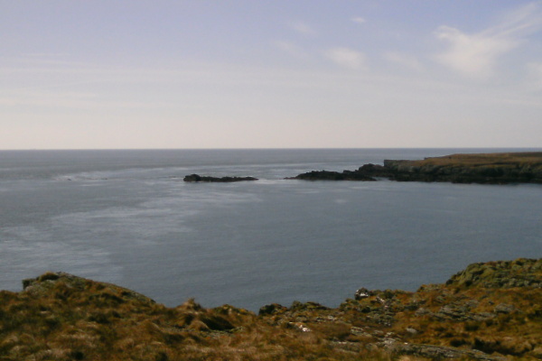
It isn`t really all that interesting, just a large flattish area of rock and grass. However you get some good views from it - first of all, this is looking back from where I`d come. I think that Porth Dafarch is somewhere around into the left of the first headland.
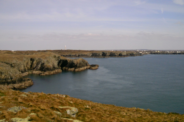
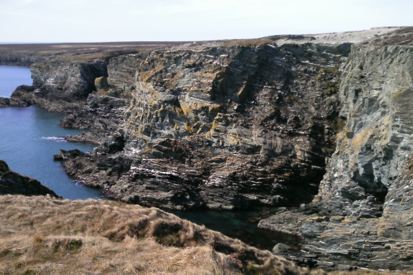
Looking across to the mainland, you get a good impression of the ruggedness of this bit of the Anglesey coastline.
And a bit further round you are looking across to Penrhyn Mawr. You can just see the Fangs out to the left of the outer island, out across the outer tide race.
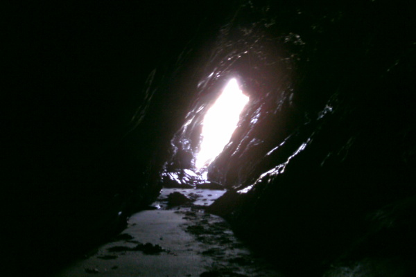
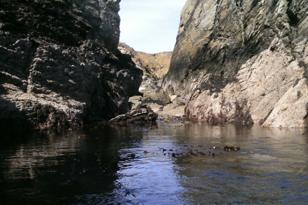
After climbing back down to the coll, I headed a bit to the west, and this is what the arch/hole looks like at low tide. Strange to think that in 6 hours or so, you might be able to paddle through it.
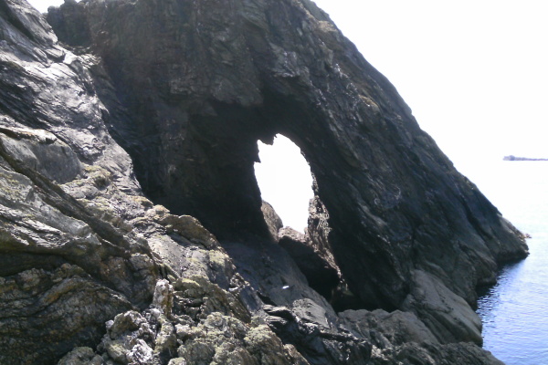
It is of course nothing to do with sea kayaking, but I did finally see a route to climb from the coll up to the top of the cliffs on the mainland. You can`t see it from the top when you are looking down, but there is a way up below an overhanging bit of rock. It would be quite an airy scramble up, and a lot more difficult to come down, but it could be done. I went up maybe a third or half way, but Lomo boots, a drysuit, spray deck and bouyancy aid don`t really make for good climbing wear. So I wimped out of doing it all.
Back in my boat and out of the narrows, there is a good view across to Gul Rock at low tide - and the various outlying rocks.
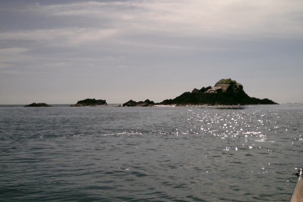
There was no sign of a swell out in the open sea, but those rocks were somehow finding the swell and emphasising it. I came through the outer channel on the swell, but the inner channel was quite meaty, so I gave it a miss.
Penrhyn Mawr at the start of the flood tide is excellent fun - lots of little rivers running through the gaps in the rocks are good places to play. Although it doesn`t show here at all, the third gap in these pictures had a strong current flowing through it, and it was too strong to paddle up. I eventually did it by eddy hopping using eddies on both sides of the stream, and crossing the current twice.
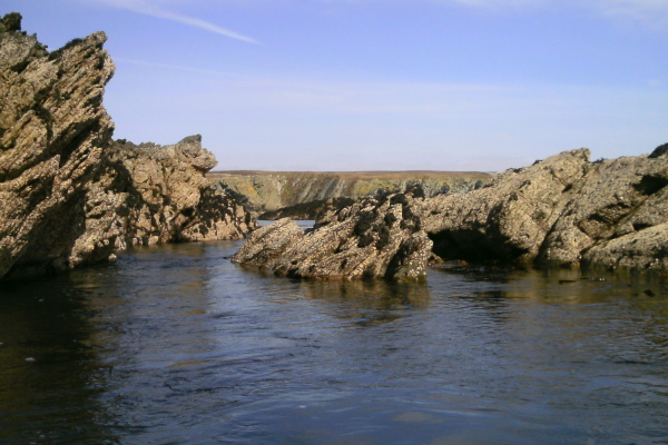
It is perhaps worth adding that at these sort of levels during the flood tide there is a good possibility that you can`t get back upstream through Penrhyn Mawr - they may be small at the start of a flood tide, but all these channels have a significant current through them. You may get stuck for a few hours on the northwest side of Penrhyn Mawr.
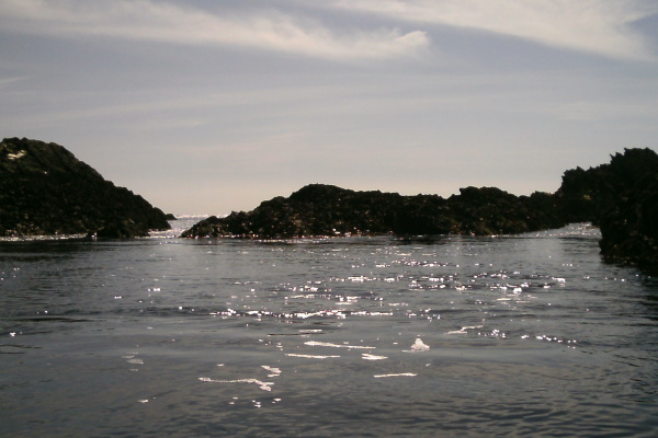
There was no current at all in the channel close to the mainland, probably because the upstream rocks with the wee channels were blocking the flow. There may well be current through it at higher tide levels.
The beach at the back of Penrhyn Mawr is completely inaccessible at low tides, with a heap of boulders in the way.
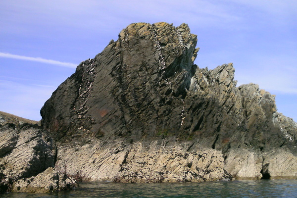
Finally, here is the rock formation for this weeks geology lesson. I presume the vertical layers of white bits were layed down horizontally, then the whole lot got twisted up.
It was a good afternoon out and interesting to see the differences between the high tides and the low tides.
When I was out at Penrhyn Mawr, three paddlers came through on their way back from the Stacks and we had a brief chat - apart from them it was very quiet. Considering it was a Saturday, and a beautiful day with ideal paddling conditions, it was surprising that there were so few other paddlers about on such a classic bit of the Anglesey coastline.
website design by ron-t
website hosting by freevirtualservers.com
© 2024 Ron Turner
![]()
![]()