ron-t kayaking blog
24 November 2012 .............. Cuan, Luing, and Seil
The fine weather during October ended with a vengenance around the beginning of November, and for the next three weeks we had pretty much continuous rain. But around the 23rd it stopped - sort of, so I took the opportunity to go back to Cuan for a play around.
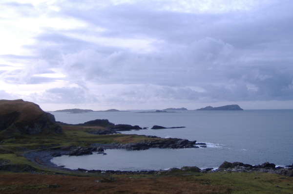
I paddled across Cuan Sound, down the side of Luing for a bit, then landed and climbed up the side of the hill - which gets steeper and steeper as you go up. Eventually I couldn`t go any further, and clinging on to the grass, I took some more pictures. It was a rather grey day, so not much colour, but it was reasonably clear, so many of the islands around the top end of the Sound of Luing were visible.
Round to the west, it was a grey view across to Mull.
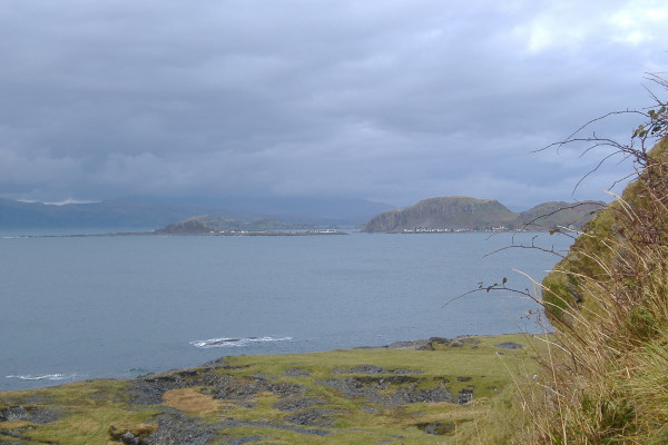
Up to the north, Easdale and Ellenabeich, Insh Island and Dun Mor, stand out nicely against a very cloudy Mull.
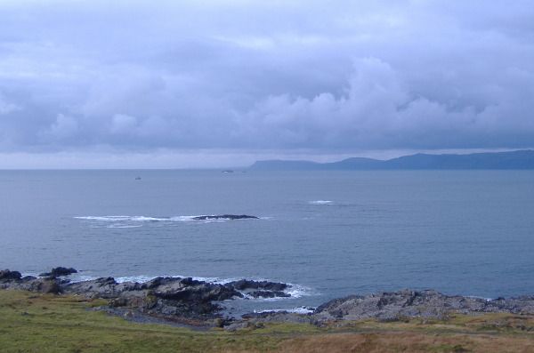
Once I was back down, I paddled across Cuan Sound and up the side of Seil, and landed on one of the points. I was a bit further out than I had been on Luing, so the view to the south west now included Scarba, Lunga, Fladda, Eilean Dubh Mor and Eilean Dubh Beag, Belnahua, and the Garvellachs. I couldn`t see detail in any of them, but it is nice to get a view of them.
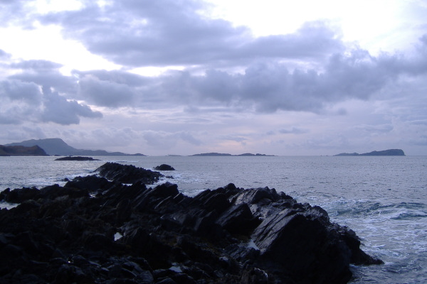
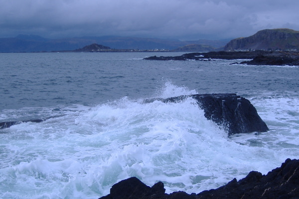
I tried to photograph the waves breaking over the rocks, it is quite difficult to catch them just when the water is at its highest, this was the best of them.
I meandered up the side of Seil until the end of the interesting coastline, then headed back. I played around in Cuan Sound for a while, now in full ebb flow, and then discovered that the channel behind the rock off Luing that I had previously used as route up the Sound of Cuan in an Springs ebb current was a bigger channel because of the tide height, and provided some great rock hopping - I played there for a good half hour.
The channel was like a mirror image of a capital F, with the stem of the F pointing sort of north west, and it was picking up the swell coming into Cuan Sound. So there were surges flowing into the channel, and out the two branches. However the swell was also flowing round the big rock, and arrived at just the wrong time, so that just as the current was flowing into the channel, the level out from the two branches dropped, and you ended up with two waterfalls. It is a good thing it is an old boat, I added a few more scrapes when I got it wrong.
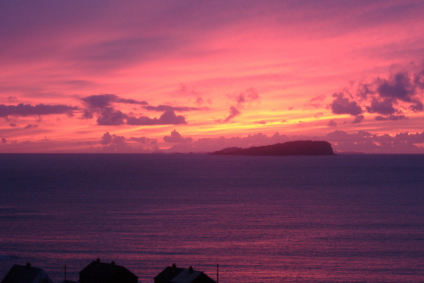
Back at Cuan, I could see that there was some kind of a good sunset, but during winter, the hills on Luing hide it. So I loaded up as quickly as possible, and drove up to the observation point just where the road drops down to Ellenabeich, and caught the last of what must of been a spectacular sunset over the Garvellachs.
website design by ron-t
website hosting by freevirtualservers.com
© 2024 Ron Turner
![]()
![]()