ron-t kayaking blog
16 October 2012 .............. Luing to the Grey Dogs
I went back for another look at the Grey Dogs yesterday, this time it was full Springs, and the aim was to see it during the flood tide.
I did things a bit differently this time, instead of paddling down from Cuan, I took the ferry across to Luing, and drove down to Black Mill Bay. There were several reasons for doing this, including that I knew I wanted to spend quite some time on Luing, watching the flood tide develop through the Grey Dogs.
I knew from a previous visit to Luing by bike that there is an easy launch point at Black Mill Bay, which is good at all tide states.
There is the remains of a pier at Black Mill Bay, which used to be the main contact point for Luing with the mainland - steamers connected with I think Glasgow and Oban. So there should be no problems with access, and there is plenty of parking space.
It is an easy paddle across to Lunga even during Springs, with few of the tide rips that you get at the top end of the Sound of Luing around Lunga, Belnahua, Ormsa and Fladda.
I went to see what the entrance to the Grey Dogs is like during a flood tide, and even though it was just the start of the flood tide, there was already a significant current into the Grey Dogs. I paddled up the side of Lunga to find somewhere to land, got out, and headed off across the hills to the bottom end of Lunga, overlooking the Grey Dogs.
I found a very cosy place at the top of one of the hills, just out of the wind, and it was very pleasant sitting in the sunshine, eating lunch.
Now of course I was up on top of a hill, looking down on all this, and waves, holes and other features in moving water are much bigger when you are actually in amongst them in a boat, so I couldn`t really see the dynamic movement of the water.
According to my pilot, there can be a tide race extending 2 kms to the west, however it wasn`t really obvious to me. Here is what the narrows looked like from up on the hill, this is looking east through the narrows.
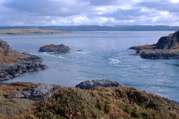
About a 100 metres to the west of the narrows, just below me, there was a bit of a wave train, it never really got any bigger than this - I think that for the wave train to really develop, there has to be a strong swell coming in from the west so you get the tidal flow running against the swell, and there was no swell at all on this day. When it is there, the wave train can be quite impressive, and various RIB operators run tours through the Grey Dogs.
Looking at both the first picture, and from when I was there, I reckon that there would be two ways to paddle through the Grey Dogs in a flood tide.
For the first one, I would stay fairly close to Scarba, then go for the breakout into the well-defined eddy right after the second point. Thereafter it would be a completely flat paddle out to the west staying close to Scarba for a bit.
For the second one, I would come right down the middle of the north channel, once through the immediate white water, veer right into the calmer poorly defined eddy beside Lunga.
One place I would definitely avoid is the patch of white water just right of centre in the above photograph - this is where the two currents meet, and even from up on the hill, I could see the dynamic movement of the water in this area. I think it would seriously eat you if you strayed into it.
Looking at the picture, there appears to be a third quite easy route coming down the south channel, and heading diagonally to the right, so that the white water mentioned in the last paragraph is on your left. In real life I don`t think it would be that straightforward, as you are having to cross over the rather confused water that has come through the north channel - if you get it wrong you are going to be washed into the bit you don`t want to be washed into. It might be okay as a route, it might not.
I think that if I was going to be paddling through the Grey Dogs on a Springs flood tide, I would want to get a closer look - maybe from up on the island Eilean aBhealaich.
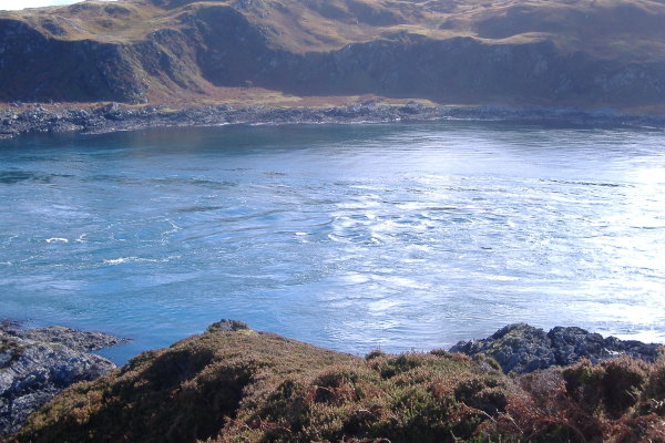
I stayed on top of the hill for well over an hour, and by the time I left it was three and a half hours after the start of the flood tide, so I had seen enough of it. From the top of the hill, I got a good view of the rounded lump that sticks out from the southwest side of Lunga - that bit of Lunga has got some unusually smooth rocks, quite unlike the rest of the coast of Lunga.
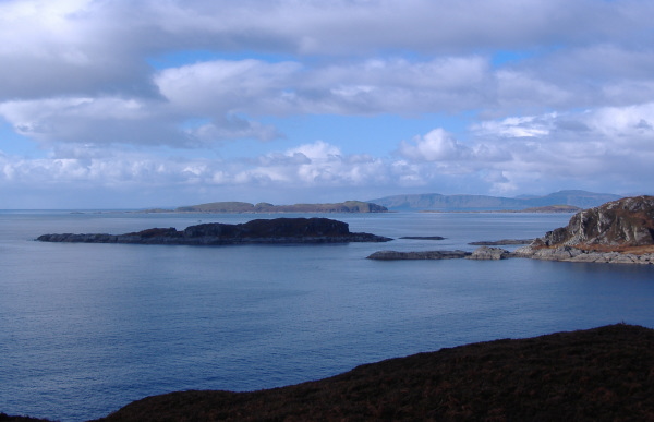
Of course you can also see across to the Garvellachs, with Mull in the background.
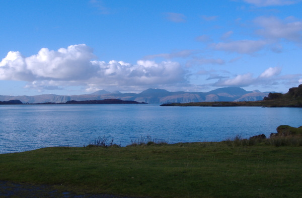
Back on Luing at Black Mill Bay, like so often recently, the south coast of Mull was looking fabulous.
As a final comment, I would be wary of paddling around the east end of the Grey Dogs during a flood tide if you don`t want to paddle through them. There is a quick transition from open water to committing fast flow into the Grey Dogs. If you get sucked in, you will not be able to get back out. No ifs, no buts, you will not get back out, and the Grey Dogs will have you for their dinner.
website design by ron-t
website hosting by freevirtualservers.com
© 2024 Ron Turner
![]()
![]()