ron-t kayaking blog
21 September 2012 .............. Cuan to Belnahua and Fladda
I tried to have another go at the Falls of Lora this morning, to see if I could get some more good surfing out in the middle - but it wasn`t to be. There was a lot of water coming through, far more than I would have expected for a predicted tide height of 3.6 metres.
The other odd thing was that high tide came and went, but the tide height just didn`t change - it must have been at the same level for the best part of an hour.
So the surfing was not the best by the north pier, and non-existent out in the middle. I went round twice, but there was just too much current and not enough wave height. So I didn`t waste any more time on it, and went home.
It was a beautiful day, so I didn`t want to waste it, so after some humming and hawing I went down to Cuan at the bottom of Seil Island.
I launched around 14:30, just on slack water in Cuan Sound - slack water in Cuan sound is about 2 hours before both high and low water in Oban.
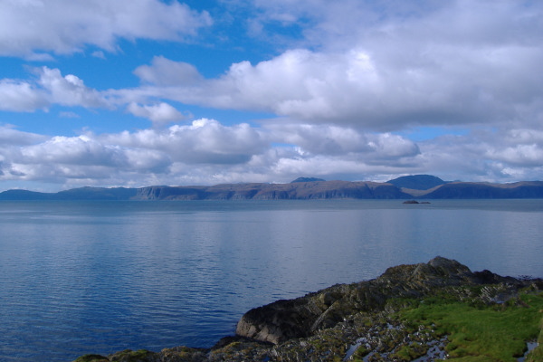
I crossed over, and headed down the west side of Luing towards Cullipool. There are some fabulous spikey hills down the north west coast of Luing, and I would love to have photographed them, but I`m just not geared up for photography on the move in a sea kayak. I will have to attend to this.
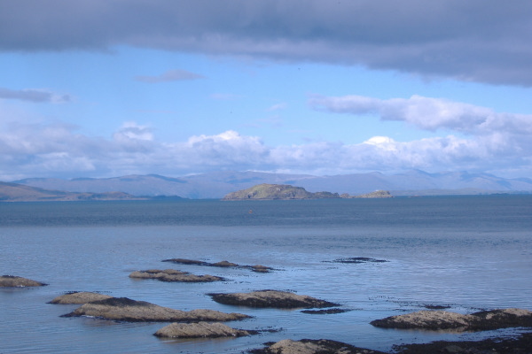
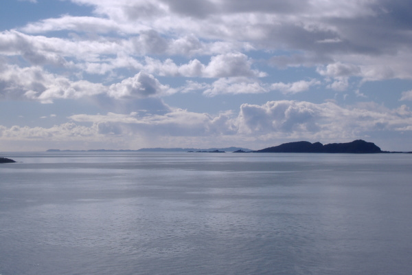
Conditions were absolutely perfect, no waves, no wind, blue sky and sunshine - and I could see Belnahua and Fladda off to my right. The somewhat vague plan - if there was one - was to paddle down to Cullipool, then maybe island hop across to Dubh Sgeir, then maybe Fladda, then maybe Belnahua.
However as I began to see the houses of Cullipool, I reckoned I would go across to Belnahua, so headed off away from Luing. There was a bit of an ebb tide still running, so initial progress was quite good, but gradually I met the north flowing current flowing up the Sound of Luing, and which flows between the islands of Belnahua, Fladda, and Dubh Sgeir.
So gradually I had to point further and further round to the east, to get to Belnahua. Close to Belnahua there was quite a strong current flowing up the side of Belnahua towards the north west.
As far as I can work out from the tidal atlas, the north going current in the Sound of Luing starts flowing about 1 hour before low water at Oban, ie, about an hour after the north flow starts in Cuan Sound. It flows north past the islands, then sweeps out to the west to meet the ebb tide still coming down the Firth of Lorne. However my just acquired pilot has both the north going current in the Sound of Luing and the north going current in Cuan Sound starting at the same time - 4 hours 30 minutes after HW Oban.
It does perhaps suggest a limitation of the tidal atlas, it only has snapshots of what is happening each hour. You can`t tell within each hour when something happened.
The other thing I found out when I was on Belnahua was that the north flowing current starts well before low water at Belnahua. I dragged my boat way up the beach, and when I came back to it, it was even further away from the water.
If the north going current starts at 4:30 after Oban HW, then that must be roughly 2 hours before low tide. I didn`t realise that sea kayaking was going to be so mathematical !
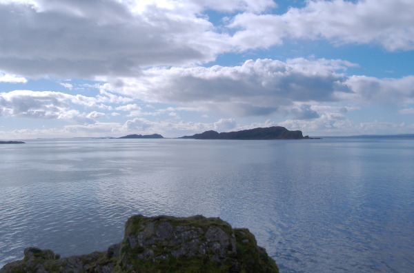
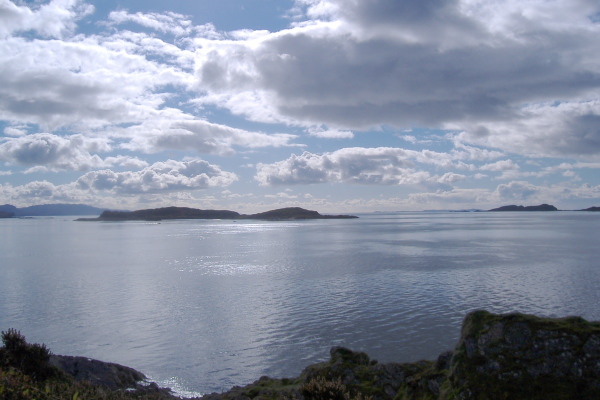
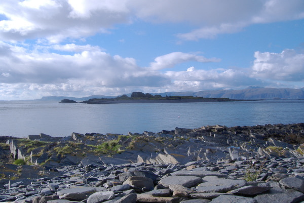
The views from the top of the rocky spur on Belnahua are good in nearly every direction - right down the cliffs along the south coast of Mull, the Garvellachs, Eilean Dubh Mor and Eilean Dubh Beag, and Scarba. Lunga is obviously there as well, but in doesn`t really show, because you are looking right down the length of it, and Scarba is right behind it and somewhat towers over it. The western bump of Islay, and Colonsay are there as well. You can also see right down the Sound of Luing, but it gets a bit unclear as to what you can see down that way.
Looking right up to the north, Insh Island to the west of Seil was nicely highlighted in sunshine, with much of Morven in the background.
Here is the view across to the fabulous cliffs along the south coast of Mull, and right down to the Ross of Mull.
Round a bit to the left, and the Garvellachs are in view -
Using the maximum zoom on my wee camera, Colonsay appears, down past the bottom end of the Garvellachs.
A bit more round to the left, and it`s the turn of Eilean Dubh Mor and Eilean Dub Beag.
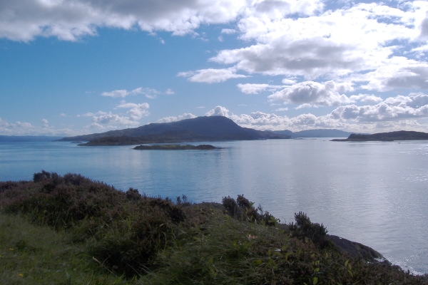
Then Scarba, with Lunga somewhat not noticeable in the foreground. I can`t remember, but it looks from this photo that the Paps of Jura are hidden behind Scarba - Belnahua, Lunga, Scarba, and Jura are all in line.
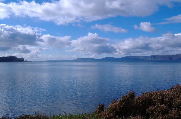
Finally, looking east over to Fladda, Luing, and parts of the mainland. I never worked out what I could really see, they all tend to merge in to one land mass.
I must have spent about half an hour on Belnahua, there isn`t much of it that the slate quarry hasn`t changed. I wouldn`t mind a longer visit to see a bit more of it.
There is an interesting contrast between the big house and the workers houses -
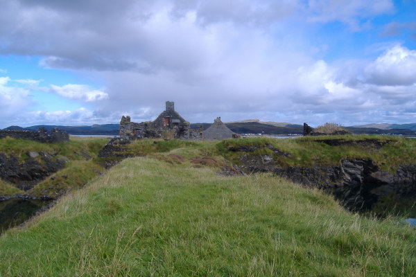
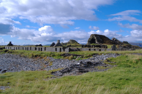
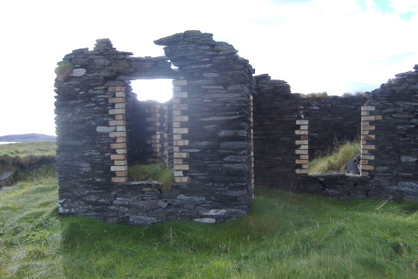
Slate was of course the main building material used on Belnahua, but there is some interesting contrasts with brick.
When I was on Belnahua, just as the tide changed, the weather changed as well - very quickly. A rain shower came down from the north, and a wind got up from the north west.
The paddle across to Fladda wasn`t much of a problem, although the tidal flow was quite rough. A quick stop on Fladda, to take a picture looking back to Belnahua.
There was a quite significant current flow between Fladda and Dubh Sgeir, which left no opportunity to take it easy, and I eventually just made the tail of Dubh Sgeir. Paddled up against the flow around Dubh Sgeir, then a much easier paddle across to Luing and Cullipool.
However by this time the north west wind was quite strong, and all the way up the side of Luing was not easy. A few white horses were appearing, but it didn`t get worse than that.
Getting close to Cuan Sound was a bit quieter, the tidal flow up Cuan Sound and the tidal flow coming up between the Garvellachs and Luing were meeting a couple of hundred metres out, so the tide rip there didn`t affect me. Later in the flood tide cycle the tide rip formed where they meet gradually moves towards Cuan Sound, so that the north end of Cuan Sound becomes somewhat user unfriendly. Eventually the current coming north beats the current flow through Cuan Sound, and the flow through Cuan Sound quickly reverses.
If there is a westerly swell coming in and it is Springs, the north end of Cuan Sound gets quite impressive just before the flow in Cuan Sound reverses.
Sneaking up Cuan Sound close to Luing against the flow was okay, with a burst of power to drive me past the rocky points that stick out. At one of these rocky points there was a noticeable drop in the water level, and I just couldn`t paddle hard enough to climb the hill. But a few metres out there was a line of swirlies, and they gave me a way up.
Once past the pier, it was quite an easy ferry glide across to Cuan.
I would say that there was about as much current between Fladda and Dubh Sgeir as there was in Cuan Sound.
Update - my just acquired pilot has confirmed that they both go up to 7 knots during Springs.
I left Cuan at 14:30, and the boat was back on the roof by 18:00, so that was three and a half hours for the whole trip. What a fabulous outing, and it certainly made up for the pants non-surfing in the morning.
Just for information, I did this five days after the new moon, three days after the quite big Springs. Some of the tidal streams I crossed would be quite dodgy during Springs. Another one to look out for quite close by is the strong tidal flow to the west of Belnahua and Lunga - there is a good chance of ending up a very long way from where you want to be.
website design by ron-t
website hosting by freevirtualservers.com
© 2024 Ron Turner
![]()
![]()