ron-t climbing
15 August 2017 ................ Elidir Fawr
A rather grey morning, but the weather forecast for the afternoon was that the cloud on the mountains of Snowdonia would lift, and there was a 60% chance of clear tops.
So I reckoned on a trip to Elidir Fawr was a good idea - it worked out okay, the weather forecast was actually almost right - as I was driving down the A55 I was watching the cloud slowly break and lift, leaving many of the tops clear.
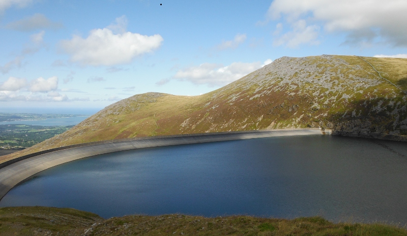
Starting to head up the end of Elidir Fawr now, and beginning to get some views - looking out along the dam to Carnedd Filiast and the un-named 721 metre summit -
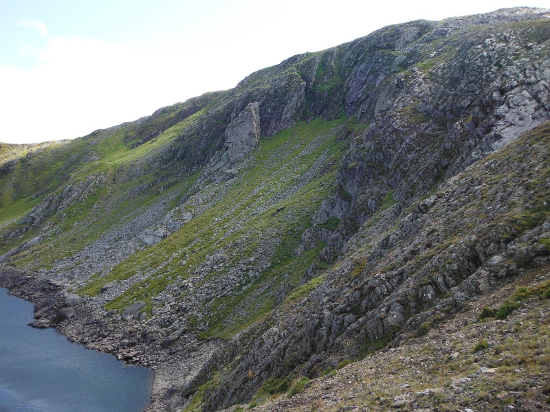
Marchlyn Mawr reservoir is in a quite deep natural cwm, with quite craggy sides - this is some of the crags -
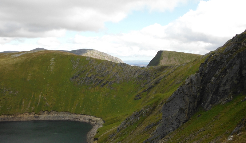
Round a bit to the left, and the striking shape of Foel-goch and the crags of Pen yr Ole Wen are coming into view -
And so up and up - and I was climbing up it was clear that there was more cloud begining to come over, so I was beginning to get a bit worried that Elidir Fawr would disappear into the cloud before I got to the summit.
So I took some pictures on the way up - looking right up the Glyders - Foel-goch is the nearest top, then Y Garn, and then along the back is Tryfan and Glyder Fâch, and just visible over Y Garn is Glyder Fawr.
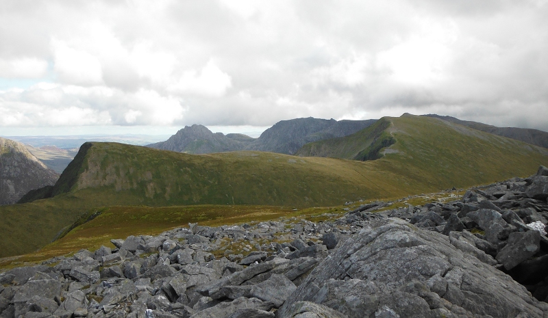
Round to the left the Carneddau are still catching the sun.
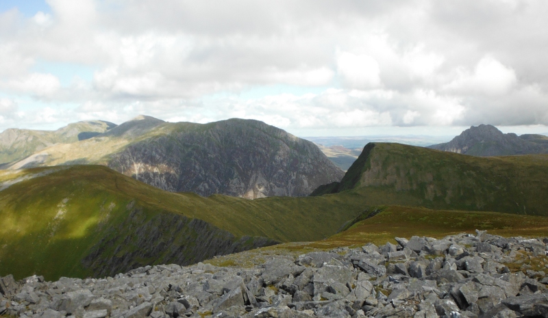
Not quite on the summit of Elidir Fawr yet, but a good view across to Snowdon with its hat on - Snowdon kept its hat on all day, I never saw it at all.
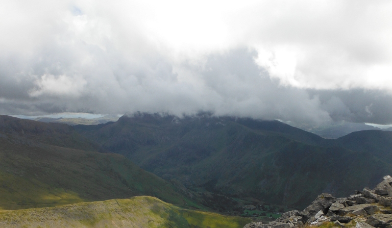
Up on the summit of Elidir Fawr now, looking across to the rather interesting horseshoe of Foel Goch, Foel Gron, and Moel Eilio -
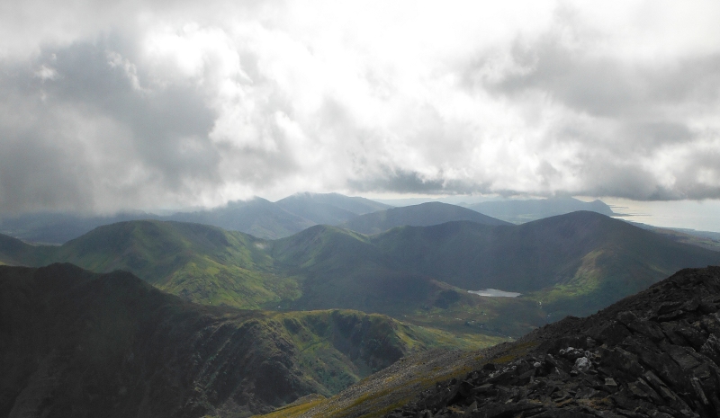
Looking over the top of Moel Eilio down the coast of the Lleyn Peninsula, with Yr Eifl rather stuck in the clouds -
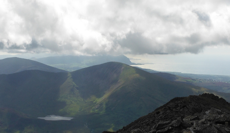
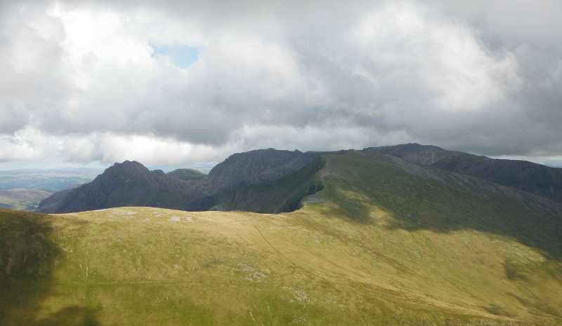
The low clouds coming over were quite thick and patchy, and the result was that the views and the light levels were constantly changing - sometimes the Glyders looked like this -
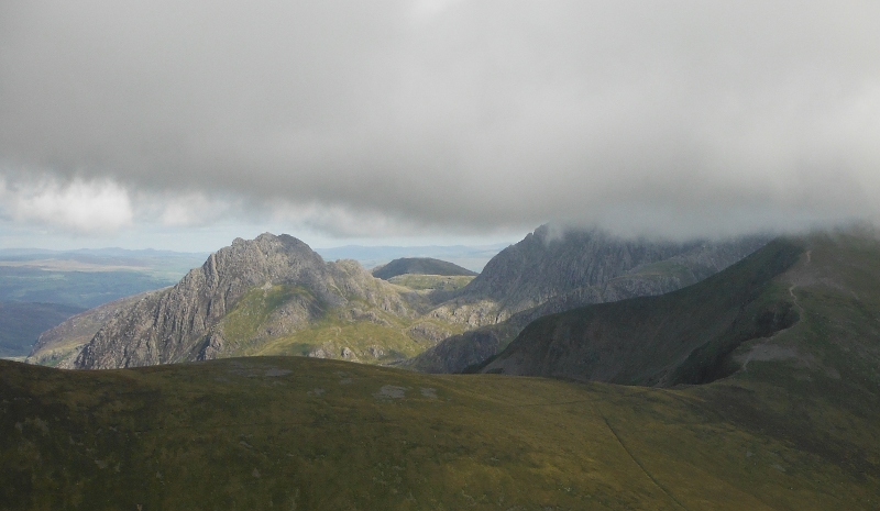
but later on they looked like this, with only Tryfan escaping -
Snowdon still sulking in the clouds -
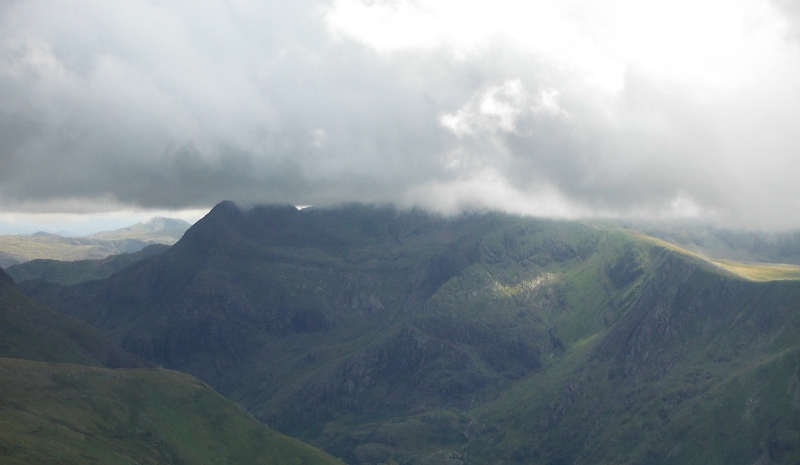
Carnedd Filiast now in deep shade, but the sun still lighting up Moel Wnion and Drosgyl, and also Penmaen Mawr away at the back.
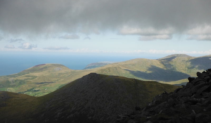
Different clouds down the Lleyn Peninsula now, and Yr Eifl has just about escaped.
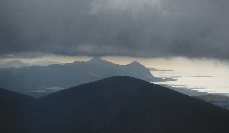
I am a bit puzzled by this photograph - it appears to show long streaks of land stretching out into the sea from the coast at the bottom of Yr Eifl - now I have kayaked down that bit of coast, and there certainly were not any such stretches of land like that when I was there.
I have checked the tide tables, and when this photo was taken it was close to a Neaps high tide, so it certainly wasn`t low tide.
So a bit of a mystery as to what they are.
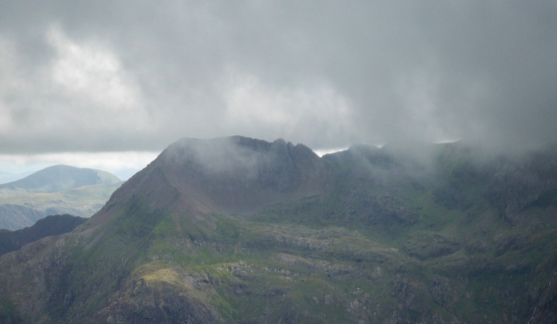
I am heading along the summit ridge of Elidir Fawr now, and very briefly, Crib Goch just about escaped from the cloud.
It didn`t last, I took three photographs of it, and by the time I took the third one, the cloud was back.
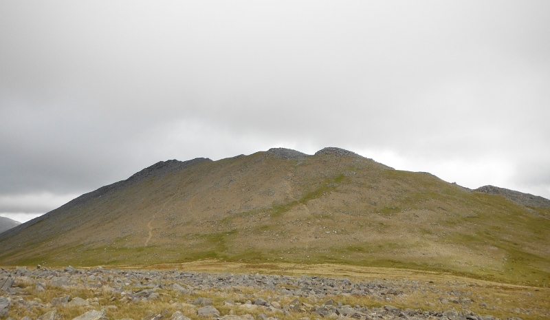
Down the flank of Elidir Fawr now and onto Elidir Fach, looking back at the long ridge of Elidir Fawr -
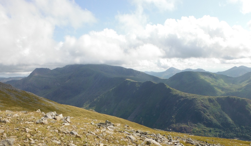
The clouds were beginning to lift again by now, but Snowdon still had its hat on - Crib Goch had escaped, and Moel Hebog and the Nanttle Ridge were now catching the sun again.
Starting to head down the flank of Elidir Fach now, and looking down on the top of Llanberis quarry, with Llyn Padarn and Llanberis away down below.
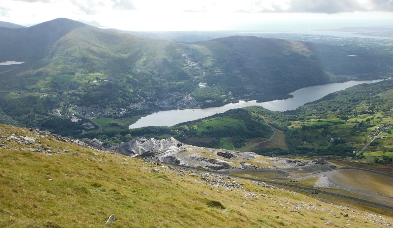
And so away back down to the public road.
It was a good afternnon out, but I am so slow now, it takes twice as long to climb over rough ground with sticks as it does without them - you have to find two places to put your sticks as well as a place to put your foot for every step. But I can`t exist without them.
How do animals with four legs manage to cover the ground so fast - there must be some amazing computations going on inside their heads.
Heading back down the road now, and a brief view up to Snowdon - still with its hat on - even though there was no cloud on any of the other tops.
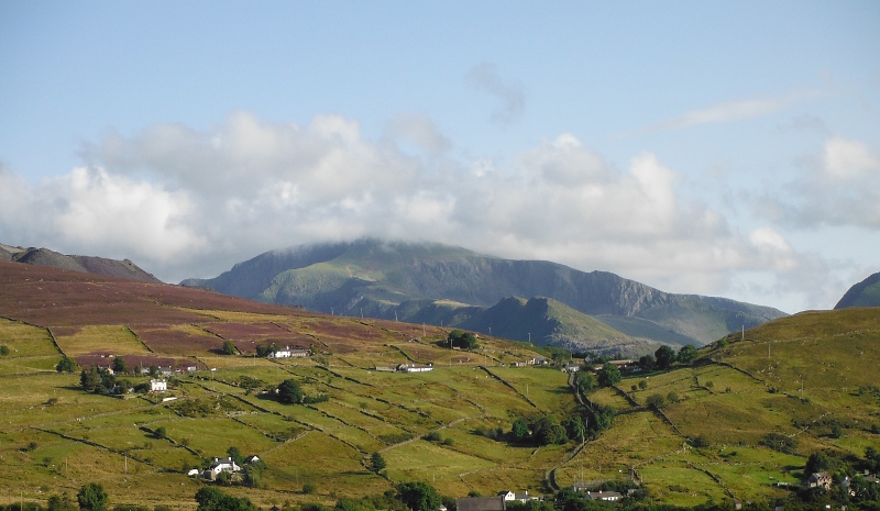
Now if Snowdon wasn`t so high, it would have been free of cloud as well.
So there you go, size does matter !