ron-t climbing
17 September 2016 ............ Choinneachain Hill by bike
On my previous trip up Choinneachan Hill, I followed landrover tracks for quite a lot of the time, and I wondered if it would be possible to get up to the top of the hill on a bike.
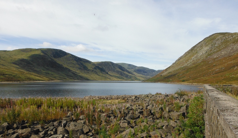
I drove up to the dam, and then headed off round to the right on my bike on a track which contours away around the lower southeast slopes of Choinneachan Hill, after taking a photo of Loch Turret from the dam - it was looking good in the sunshine.
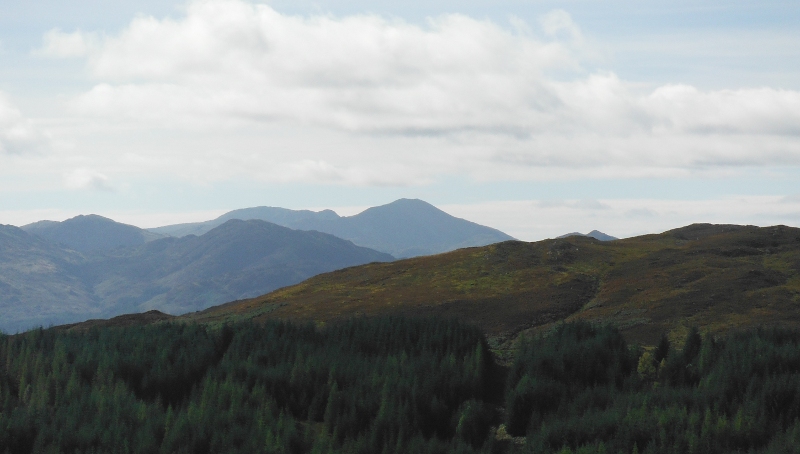
Part of the way along the track, and a good view of Ben Vorlich peaking through a dip in the intervening hills.
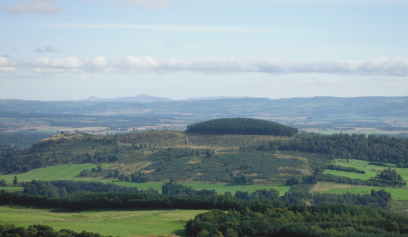
Further along the track, and you are looking down on the Strathearn area - here is the Knock, with its distinctive shaved mohican haircut, and with the Lomond Hills away in the distance.
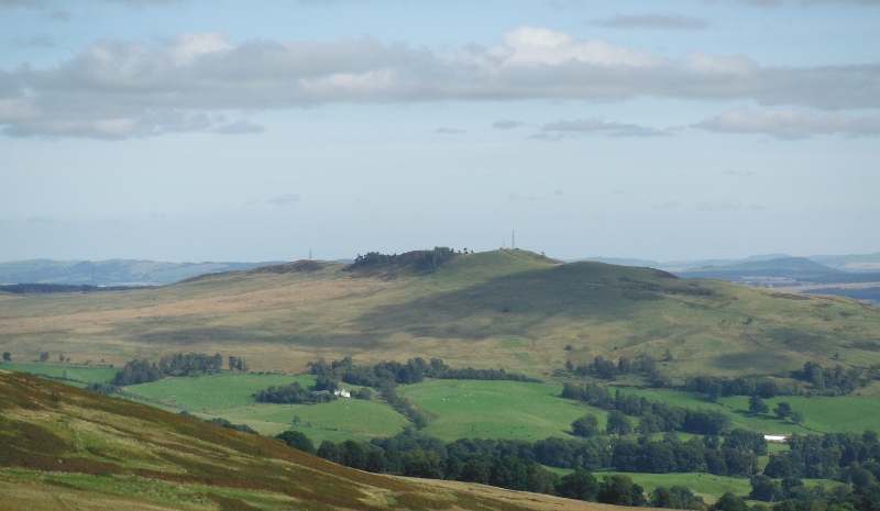
Looking across to Milquhanzie Hill -
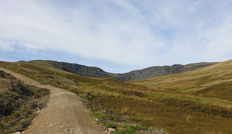
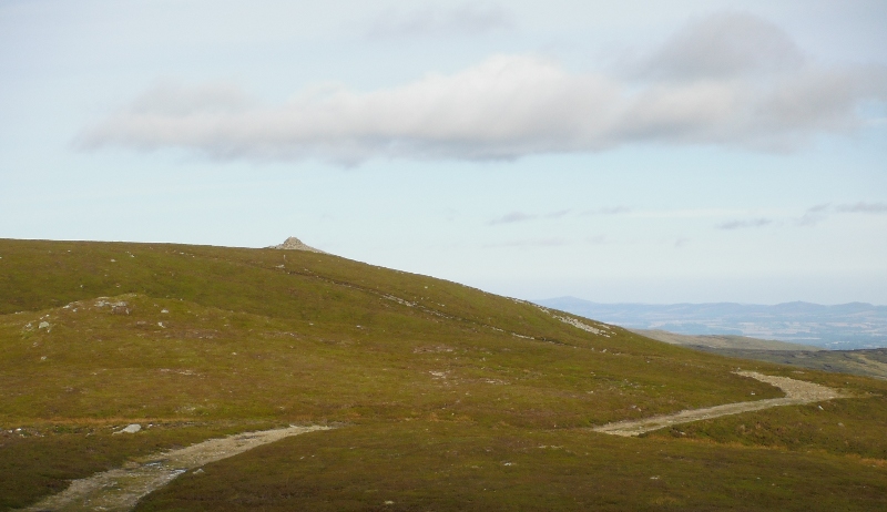
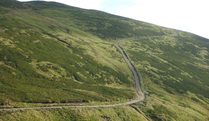
The track then curves round so that it is pointing towards the summit - and only a short distance later, the climbing starts - with a bang.
The track just heads straight up the hill - I knew it was going to be steep because I could see how close the contour lines are on the map - and yes it is steep.
Some people might manage it, but there was no way I can cycle up that sort of a gradient, so it was time to start walking, pushing my bike up and up and up and up and ........
This is looking up this bit of the track, towards the Blue Crags above. This bit of the track had recently been redone, so it was one of the better bits of track. But very steep.
Eventually I got to the end of this very steep section, and back onto lesser gradient, so could do a bit more cycling, but it doesn`t last - so from here on right up to the summit sometimes I was cycling, but probably more often I was back to walking and pushing.
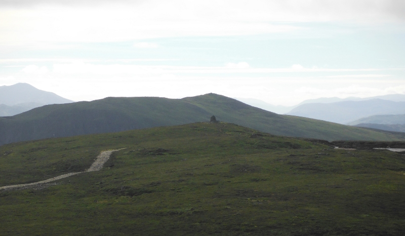
Now to say right up to the summit is not really correct, because Choinneachain Hill has three summits and two cairns - neither of which is on the highest summit. The track goes close to the two cairns, but nowhere near the highest summit.
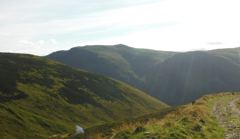
However I walked up to the first cairn, to get my first look at the views. I have somewhat confused myself with these pictures, so I am not certain, but I think that this is looking across to Càrn Chòis, and in the foreground you can see more of the track and the second cairn.
And I think that this is Ben Chonzie - I can`t think what else it can be.
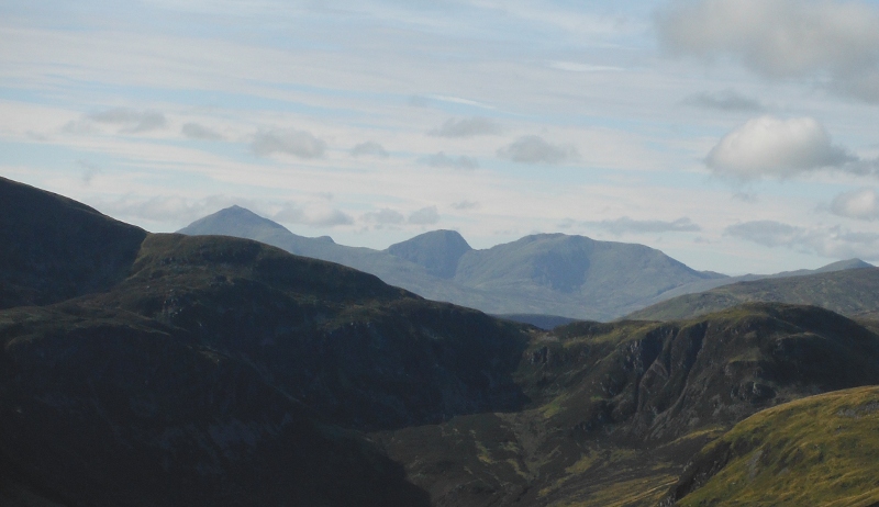
There is no doubt about this next one, looking away to the west towards Stob Binnein and Ben More, Ben Lui, and Cruachan.
There was a very cold west wind blowing past this first cairn, so I headed down and then across to the second cairn, where I could get a bit more shelter.
This is looking back along the track to the first cairn -
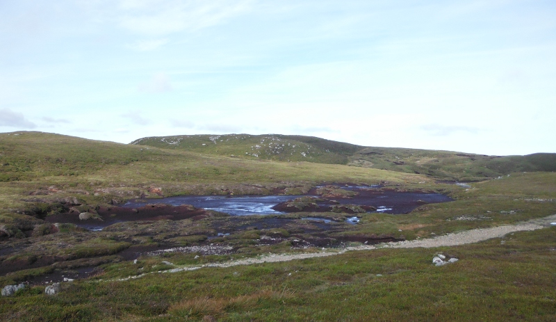
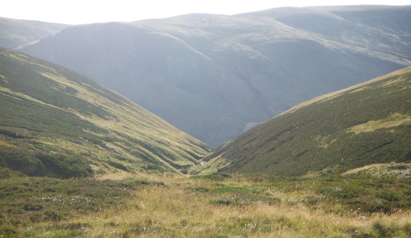
This is looking up towards the highest summit, across a horrible looking peat sump.
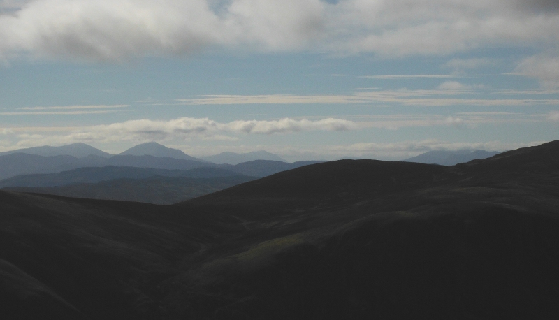
Although it isn`t far, from the second cairn you get a substantially different view, and one of the things that now appear is the Ben Lawers group.
You also get a different view over to the west, because you can now see the two munros along the north side of Glen Dochart, Meall Glas and Sgiath Chùil.
Well I knew it would be a struggle getting up to the top of Choinneachain Hill by bike, but I got there, although oddly enough, I didn`t really feel as if I was up a mountain.
Now I could go back the way I came - but my map shows the track heading off further to the north, then around the foothills of Auchnafree Hill, then down to the head of Loch Turret, with a track right back along the loch back to the dam.
I didn`t know anything about it, except that I had seen some bits of it from when I was up on Càrn Chòis - so I thought I would give it a go.
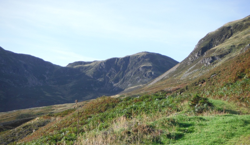
I think I can say it was a mistake - it was a foul journey - the track from then on ceases to ever be flat - it is nothing but very steep hills down, and very steep hills up.
They are too steep to cycle up, and too steep and rough to cycle down - well, for me anyway. So I spend a lot of time on foot, pushing my bike uphill, or trying to stop it running away from me downhill.
This is looking back at one of the steep down bits - maybe other people have got what it takes to cycle down that, but I don`t !
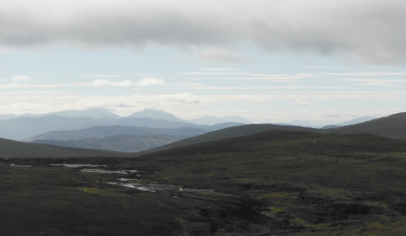
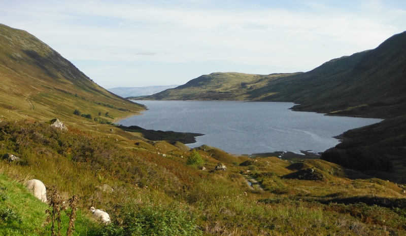
After a few more ups and downs, looking down from the track - somewhere down there is Loch Turret.
I found it all a bit too intense and strenous, and didn`t really notice at the time just how fabulous the environment you are in is, with some amazing views around you.
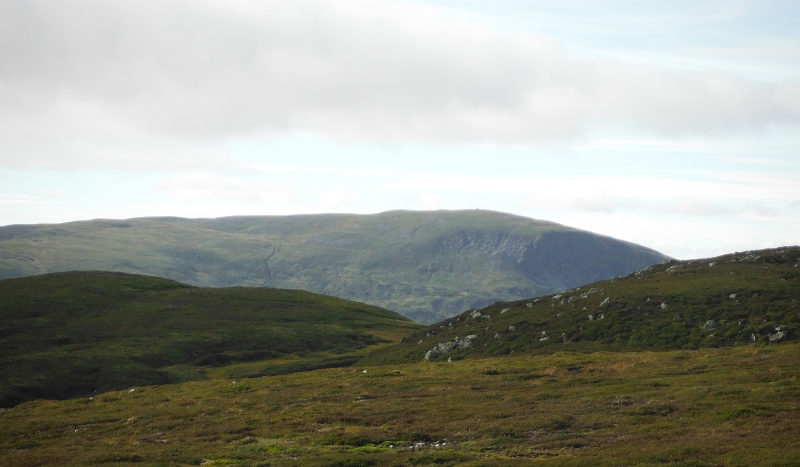
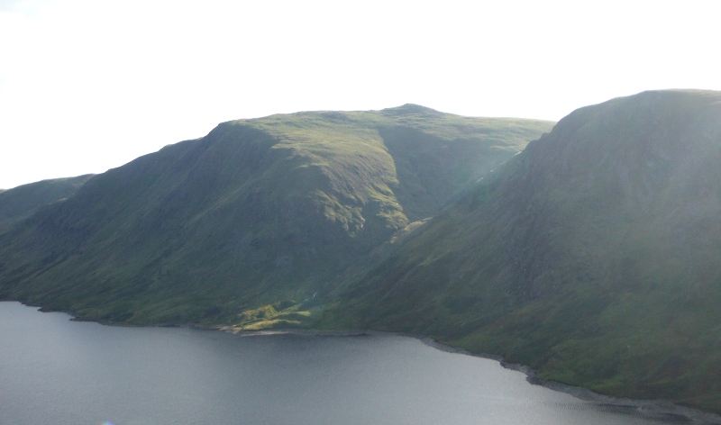
This is looking over the top of Loch Turret to Càrn Chòis - it looks so different from the view you get of it from the cairns on Choinneachan Hill.
More ups and downs, and further along, and another stunning view of Càrn Chòis.
After many ups and downs, there is then a long long descent down to the bottom track above the loch - when it was the old original grassy track, I could cycle down it, but wherever somebody with a digger had tried to "improve" the track, they had left it rough and loose, and I just didn`t dare cycle through it, so it was back off the bike again. So it wasn`t a bundle of fun.
Back down at the junction, this is looking back up at the track coming down -

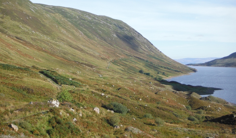
At this point the tracks are still quite high above the loch, so you get quite a good view right down the loch.
In the other direction, and a somewhat unexpected view of a strange looking hill - I think that it is Biorach a' Mheannain, which is a 755 metre summit a kilometre or so to the northeast of Ben Chonzie.
If you can cope with the long trek along the lochside, it looks as if it would be a good day out to do Ben Chonzie and Biorach a' Mheannain from the dam. It looks as if quite a bit of scrambling would be involved.
I was desperately hoping that the track back along the loch would be easier, but it wasn`t. They were shorter, but there were numerous bits of the track that were too steep to cycle up, and too steep to cycle down, so I spent quite a lot of the journey pushing my bike again.
Something to be aware of is that the track goes through three rivers that cascade down the hillside, so in wet weather they could be quite a hazard to get across them.
I was very weary by the time I got back to the dam, I didn`t really enjoy it as a journey, it was all a bit much.
I think it highly unlikely, but if I was thinking of doing it again, I would do it in the other direction, and get the more unpleasant part of the journey over in the climb up.
But if you can cope with the strenuosity of it all, you do spend a fair bit of time in the most scenic environment.
website design by ron-t
website hosting by netnerd.com
© 2025 Ron Turner
![]()
![]()