ron-t climbing
14 July 2016 ................ Choinneachain Hill
My first time up a mountain for 9 months, and oh dear, it was quite a struggle.
According to my analysis from the map, this would be a fairly short trip out, and it was well into the afternoon before I set out.
I think perhaps my chosen route was - shall we say - not the best. It got steeper and steeper, over boulders and through bracken and very long heather - all mixed up. A bit much for my now aging and failing joints.
On the bright side, there was an ample supply of bilberries for me to nibble on as I struggled my way up.
Eventually I topped the ridge, and onto a track, and things were a lot easier.
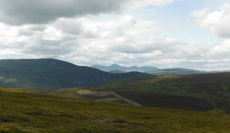
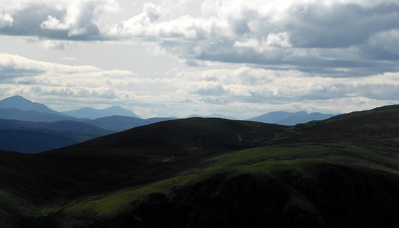
Just before the final ascent up to the first cairn, a view of the Blue Craigs - I think they look more impressive when you are away down in amongst civilisation than they do when you are up close to them.
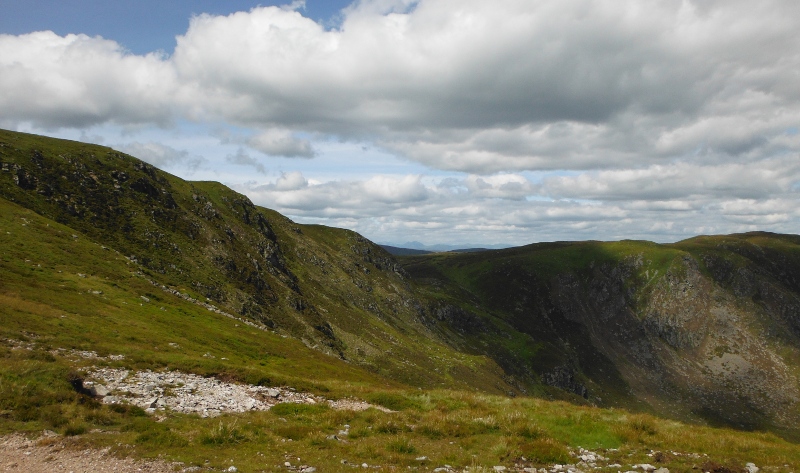
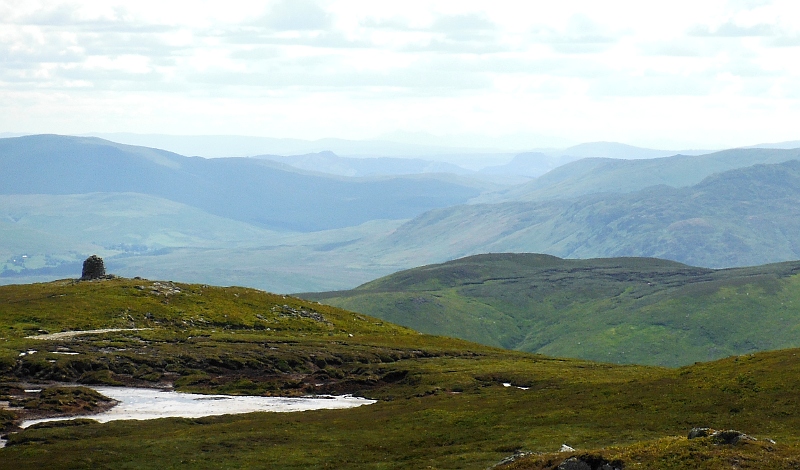
Up beside the first cairn, and a good view away to the south and east - I could even see the top of the Forth road bridges - and a good view of the Lomond Hills.
Now a word of explanation - it turned out that Choinneachain Hill has three summits and two cairns - neither of which is on the highest summit. A bit odd really.
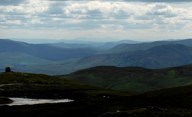
So I headed off and up to the highest summit - it was quite good visibility in all directions, though a bit hazy, so not the most outstanding of views.
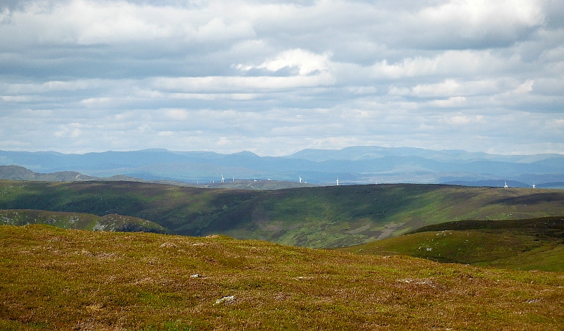
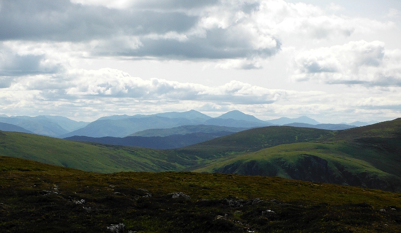
However away to the north and north east there were mountains upon mountains, this is I think looking up to Glenshee - in amongst that block of mountains there 20 munros.
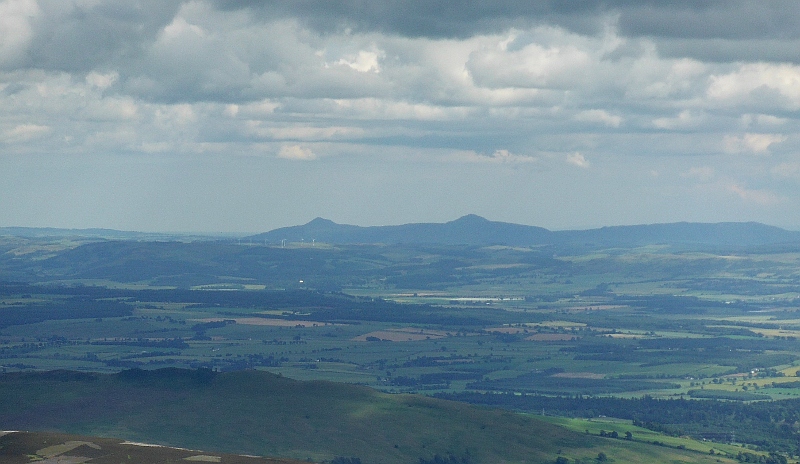
A bit nearer a couple of mountains were standing out quite well - I think - but I am not 100% sure - that they are two corbetts to the south of Loch Tummel - Meall Tairneachan and Farragon Hill.
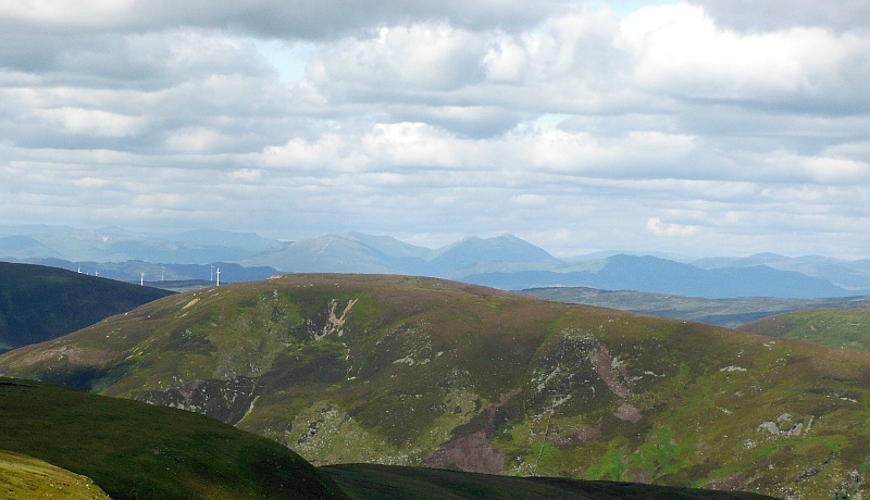
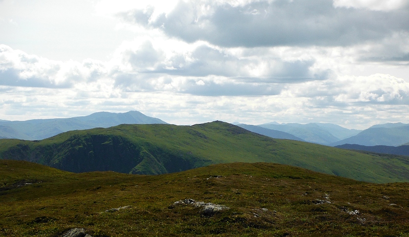
Round to the left, and the Ben Lawers group were standing out nicely.
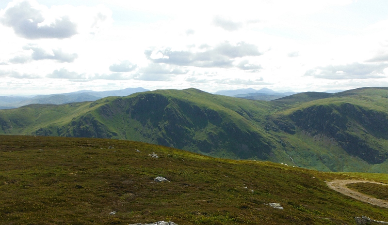
Looking across to Ben Chonzie -
Down the south east ridge of Ben Chonzie, and above some steep crags above Loch Turret is Càrn Chòis - behind it and to the left is Ben Vorlich across the other side of Loch Earn.
Behind it on the right you can see the deep valley that contains Loch Voil, and I think that the very distant summits are the Arrocher Alps.
Now things start to get a bit puzzling here, and I spent ages with maps spread across the kitchen floor trying to work out what I was seeing - so what I think we are seeing is this :-
On the left is the deep valley that holds Loch Voil.
The two summits in the middle are Stob Binnein and Ben More - I recommend climbing Stob Binnein from the far end of Loch Voil - it is a steep slog for the first bit, then it is a superb ridge walk right up that long ridge to the left of Stob Binnein in the picture, and then an easy scramble up to the summit.
Heading over to the right of the picture now, and beyond Ben More is I think the Ben Lui block of mountains - and I think - an even bigger think this one - right over on the right is Ben Cruachan.
As I said at the beginning, Choinneachain Hill has three summits and two cairns, and this is loooking down on the second cairn across what could be a very unpleasant peat sump - fortunately it was fairly dry, so not too bad to cross - it would be pretty horrible if it was wet.
The view is away down to the south west.
I usually take two or three shots of each view, and one of my shots of this view came out a bit under-exposed - and it proves to be rather useful - the under exposure of this picture shows up a line of hills away in the distance. I am pretty sure it is Arran.
Having safely negotiated the peat sump. I am down by the cairn now, and it is quite surprising how much the view has changed.
The angle of the sun was rather nicely highlighting the crags between Càrn Chòis and Loch Turret.
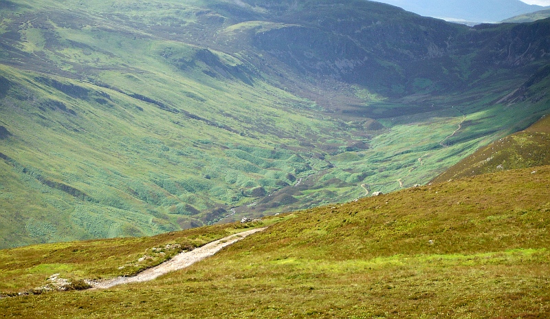
I could also see right down into the top end of Glen Turret, and there are some fascinating giant mole hills right down at the base of Ben Chonzie. Would they be some kind of glacial deposits ?
The view across to the west had changed, as I could now see the line of munros that lie along the north side of Glen Dochart, and Ben Cruachan is all but hidden behind one of the foothills of Ben Chonzie.
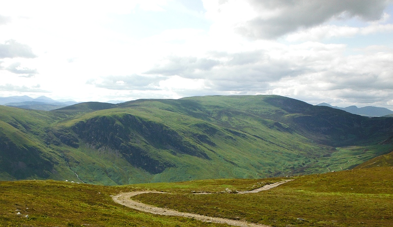
The track runs right past this second cairn, so it was easy walking back down for quite a long way. There was no way I was going to go back down the steep way I had come up, so I stayed on the track for quite a long time, then cut across to the lower track and back to the car park.
It was a relief to get back, the whole trip had taken a lot longer than I had anticipated, but I am glad to have done it, and the weather was about as good as it gets.
website design by ron-t
website hosting by netnerd.com
© 2025 Ron Turner
![]()
![]()