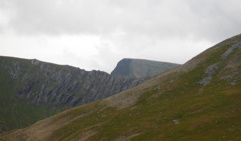
Wales - 2015
10 October 2015 ............. Elidir Fawr and Elidir Fach
After a short but rather good sunrise, we were left with another of these foul days with grey cloud overhead, not a breath of wind, and rampant midges - when are the wretched things going to go away - it is now the middle of October, and there is no relief from them.
I believe the North Atlantic Drift has slowed down - is that why we have had so little wind for weeks now - just these unbearable high pressures.
However by lunchtime it had brightened up a bit, and there was very good visibility looking across to Snowdonia - so I reckoned a quickie up to Elidir Fawr was a good plan.
I drove up to the road end above Deiniolen, got out, and was just about knocked flat by the wind.
Eh ?????
Wind ????
Where the heck did that come from - there was not a breath of wind in Anglesey.
Well there would be no problem with midges - only trouble was that a summer jacket and baseball cap was definitely not the best of clothing - this was woolly hat and gloves weather.
Never mind, I was going anyway, and I had another layer if I needed it.
Up on Elidir Fawr the visibility wasn`t quite so good, and there was quite a lot of cloud around.
The Carneddau were completely covered, I never saw them at all - and the Glyders were very grey and not looking their best.
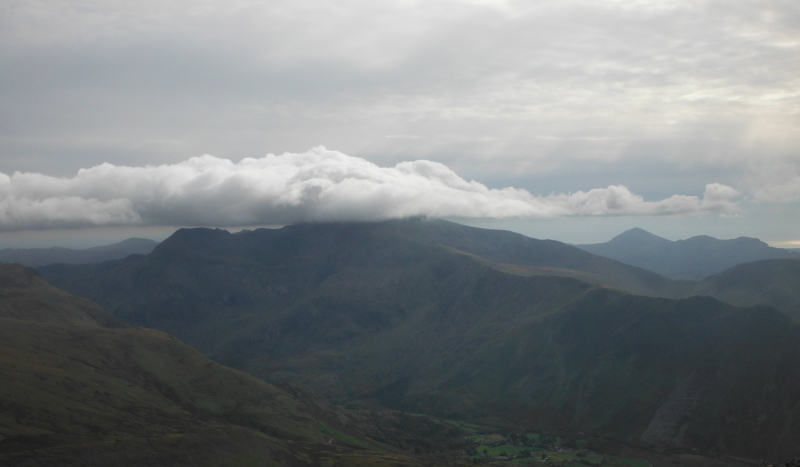
Snowdon was looking quite good though, at least the bits I could see were looking good - it had its winter hat on.
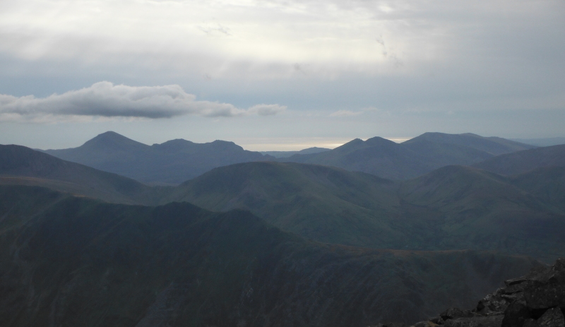
A bit further away and down to the south west, Moel Hebog and the Nantlle Ridge were completely clear and looking good -
After the inevitable teabreak, time to emerge from the shelter and into the wind - which was quite vicious - along the ridge, then down the flank of Elidir Fawr to Elidir Fach.
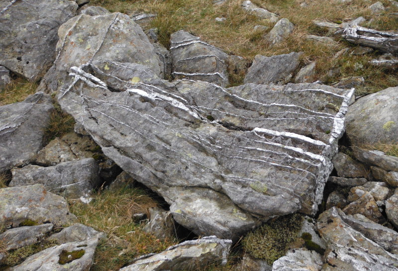
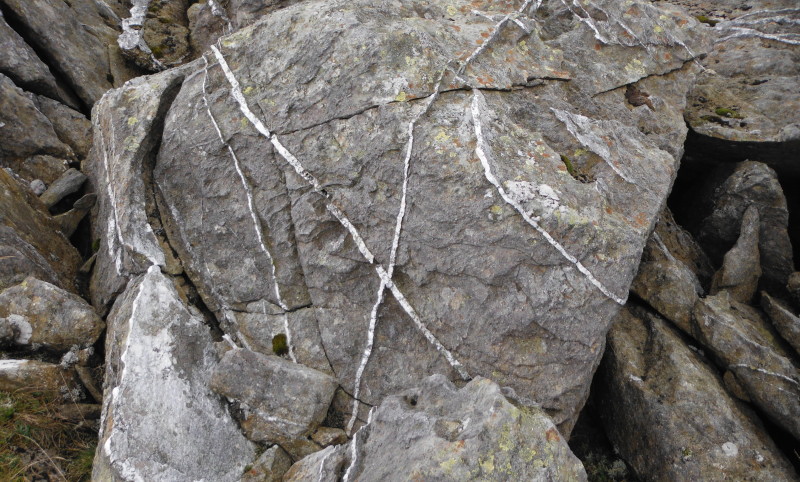
Just before the summit of Elidir Fach, there is an interesting boulder field, with some chunky rocks mostly around the 600mm to 1000mm mark in size, with some quite good seams of quartz - at least I assume it is quartz.
Here is a typical one -
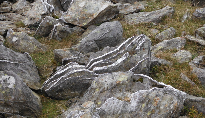
This one has the same type of seams, but also has a layer of quartz at the end -
Even more surprising - this one has two seams that cross each other. Not being a geologist, I can`t really see how this could happen - I can see how parallel layers get laid down - but I don`t see how you can get crossed seams like this.
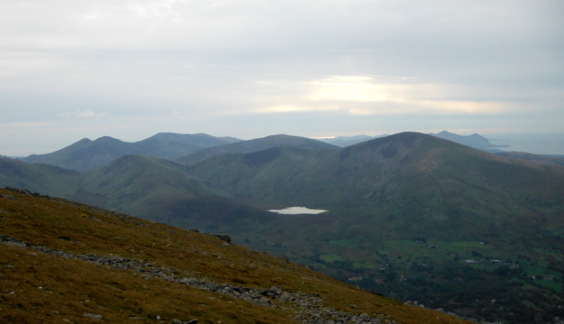
Looking southwest from Elidir Fach shows a rather good looking high level horseshoe around Llyn Dwythwch, taking in Moel Elio, Foel Gron, and Foel Goch. Maybe there is somewhere above Llanberis that would provide a suitable parking place.
As a bonus, away in the background in the photograph is Yr Eifl.
From Elidir Fach it was north along the ridge towards the Marchlyn Bach reservoir, and on the way down, I got a brief view of the distinctive shape of Foel-goch peeking over the coll between Elidir Fawr and Mynydd Perfedd.
