Wales - 2015
01 May 2015 ........... The Glyders
The last day of the rather cold but otherwise not too bad weather spell - the rain was arriving the next day - just in time for the bank holiday weekend !
So I headed off for the Glyders, in particular, Bristly Ridge.
I have done it before, but just the once, and I did have some issues with Sinister Gully - so it seemed a good idea to have another look.
This is heading up past Llyn Bochlwyd, looking across to the north end of the Glyders - Y Garn just makes it into the picture behind the bottom end of the ridge Y Gribin, then Foel-goch is just in the middle, and I think that is Mynydd Perfedd on the right, I think that Carnedd Filiast is hidden behind Mynydd Perfedd, they are almost the same height.
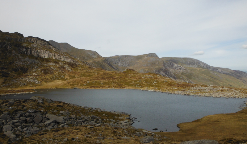
And so up to the bottom end of Bristly Ridge - now last time I was here, I followed the suggestion in a guide book that I should climb up to a man-made wall, then head up Sinister Gulley - but there were two gullies, so I was somewhat confused by this.
So this time I headed up the broader gully to the left of the man-made wall, but I soon found out that it isn`t a gully, it starts off looking like a gully, but it heads off to the side and ends up above the scree to the east of Bristly Ridge.
That was a no-no, and I came back down again.
Then I headed past the bottom of the narrow gully above the man-made wall, contoured round the side of Bristly Ridge, and came to another gully - wider than the other one, and with quite a different character.
It was I think a bit steeper, and to get up it would involve a lot climbing over big blocks, and they got bigger higher up - so I think it would have got harder higher up.
I backed away from that one, and went back to the one I had done before, the one above the man-made wall.
Now I think after digging around on the web that the guide book got it right - the narrow gully above the man-made wall is Sinister Gully - from the Latin for left which is "Sinister".
The wider gully further round is Dexter Gully - from the Latin "Dexter", meaning right - otherwise known as Main Gully.
So I went up Sinister Gully again - like before, I did find it quite a difficult climb quite high up, where you either have to squeeze up a crack, or climb up the left hand wall.
Now I have to say, I really don`t see how Sinister Gully fits into the category of a Grade 1 scramble - I know that my age and stiffness aren`t on my side, but I have been up or down some of the classic Grade 1 scrambles around Snowdonia - Crib Goch, Tryfan north ridge, Y Gribin, the other Y Gribin, and I can say without a doubt that Sinister Gully is harder than any of these - to me, climbing up the left hand wall isn`t scrambling, it`s rock climbing.
Not only that, but the implications of a fall are much higher - a slip on these other Grade 1`s will mostly result in a slide back of a metre or so - what is going to happen if you fall off the left hand wall of Sinister Gully - it is certainly going to be a lot more than a slide back of a metre or so.
To add to my argument - here is a quote from the BMC website describing a Grade 1 scramble -
"All scrambling grades require a degree of rock climbing as both hands and feet are employed, but a classic grade 1 scramble is essentially an exposed walking route. Most tend to be relatively straightforward with many difficulties avoidable, and some of the most popular days out in the British mountains are ‘easy’ Grade 1 scrambles. Despite some knee-trembling sections, the likes of Striding Edge on Helvellyn, Snowdon’s Crib Goch or Jack’s Rake on Pavey Ark can typically be attempted without ropes and protection."
I really don`t see how anyone can suggest that climbing up the wall of Sinister Gully is an exposed walking route.
Maybe to someone who is happy on E6 this is all a bit of an academic exercise, but my view on this is that to the people like me who are using guidebooks to try an avoid becoming a statistic, it is very misleading and somewhat dangerous to call Sinister Gully a Grade 1 scramble.
--------------------------
Anyway, I got there, and having got onto the easier ground immediately above Sinister Gully, I contoured round to have a look at the top end of Dexter Gully.
Above the highest and biggest block that you have to climb over, there is a sort of narrow muddy ditch/gully that ends in a vertical face with a sort of muddy vertical groove in it. I have no idea if it would be possible to get up it.
Now some of the comments on the web suggest that there used to be a block jammed across this groove, which you could squeeze up behind - there certainly isn`t a block now, just a muddy slot.
So I was quite glad I hadn`t tried to go up Dexter Gully.
So back to the top of Sinister Gully, and I followed the crampon marks up and over lots of jaggy bits and pinnacles - until I came to another bit which I remember from before - you end up looking up at a wall of rock, with no way up it.
But in the left hand corner there is a much lower bit of wall, and it is possible to get up it, though as before, I found this quite difficult - is this the Great Pinnacle Gap - I am not sure.
Up on the summit plateau now, and time for a rather late lunch just beside the famous cantilever stone -
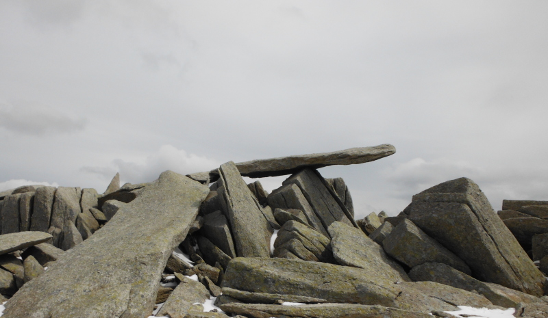
I did make it out to the end of the cantilever stone, but I can`t show it, since I can`t be in two places at the same time - very unusually, I had the whole summit to myself - one other person left just as I arrived, apart from that I was alone - well - you are never alone in Snowdonia.
Yes - another seagull - with the rocky summit of Glyder Fâch behind it.
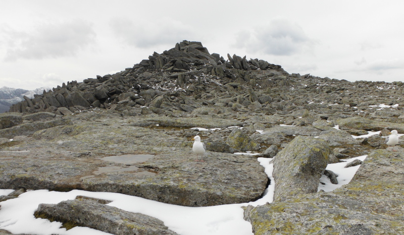
It is quite a challenge getting right up to the top of that mound of huge blocks - and getting down again.
Heading away now, and the next feature of interest is Castell y Gwynt - here it is with Glyder Fawr beyond it, and over to the left, a bit of Snowdon.
It is a lot easier getting to the top of Castell y Gwynt than it is getting to the top of the pile of rocks that form the summit of Glyder Fâch.
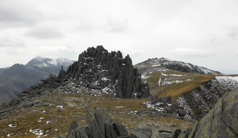
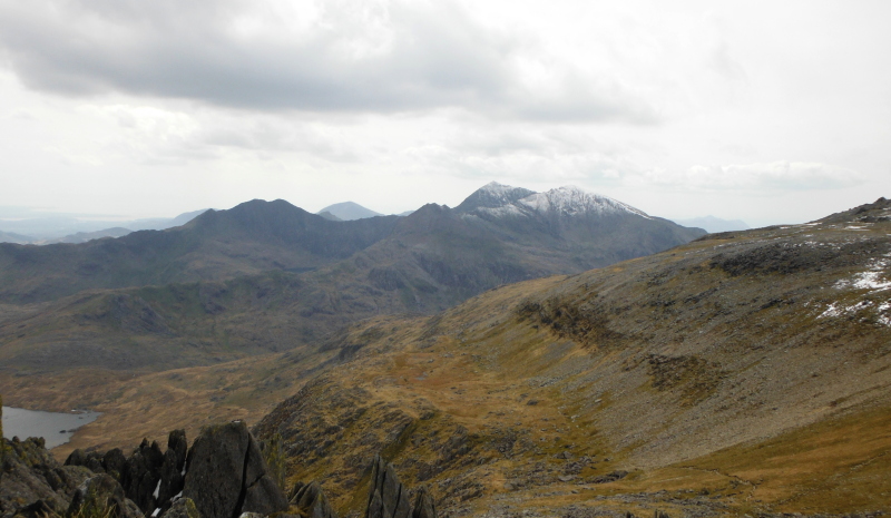
I didn`t stay long on the top of Castell y Gwynt, the wind had no mercy - so a couple of quick pictures, and I was away again - a look across to Snowdon, and if you look carefully, somewhat surprisingly, Yr Eifl manages to pop its head up just to the right of Garnedd Ugain.
Round to the right, and looking past the top end of Y Gribin towards Glyder Fawr. Y Garn just sneaks in on the right.
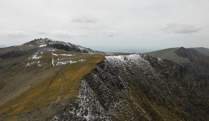
Heading up towards Glyder Fawr now, and looking back at Y Gribin - it is a useful route either up or down, and the top end of the ridge is marked by a large diameter but low cairn.
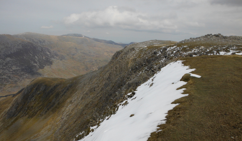
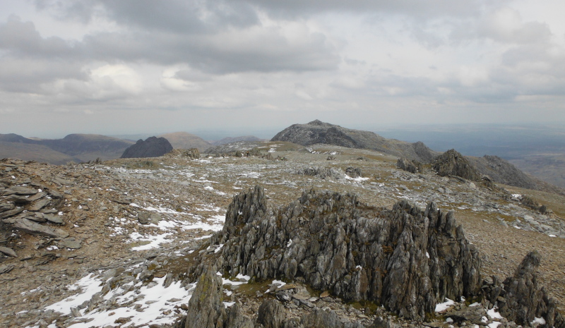
Glyder Fawr is a bit of a strange summit, with lots of these rocky outcrops sticking up - this is looking back towards Glyder Fâch, with Tryfan looking very dark deep in shade.
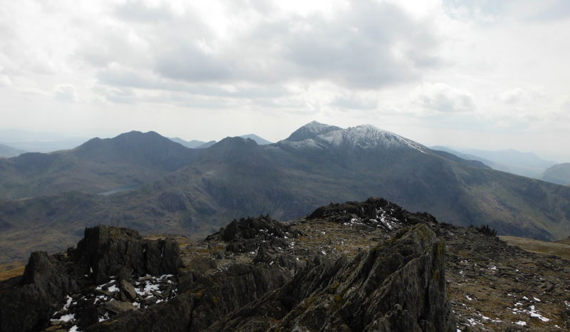
A slightly better view of Snowdon -
Now I had to decide what to do - I could either head back the way I had come, and go down Y Gribin, or continue on along the Glyders to Y Garn - last time I did this section of the Glyders I went down Y Gribin - so I headed off to Y Garn.
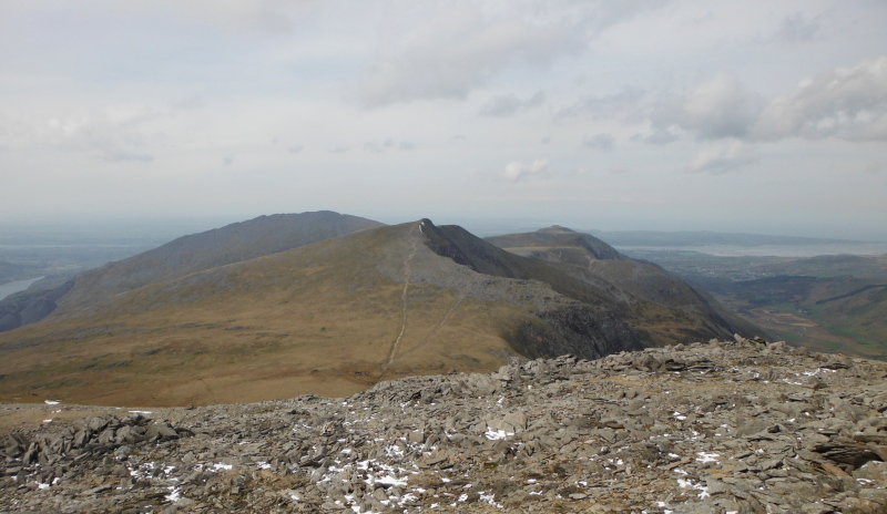
It is quite a steep descent down to Llyn y Cŵn on a loose surface, so not the easiest of descents, but once down, it is an easy walk up to Y Garn.
It is always good to look back at where I have been - so here it is - Glyder Fâch and Glyder Fawr -
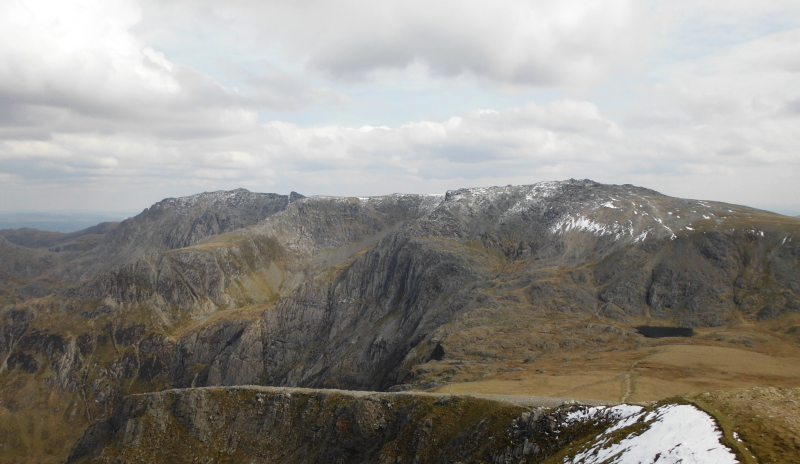
And so it doesn`t feel left out, round a bit to the left, and Tryfan is getting a bit more light now. It is also a good view of Y Gribin, right down the middle of the picture.
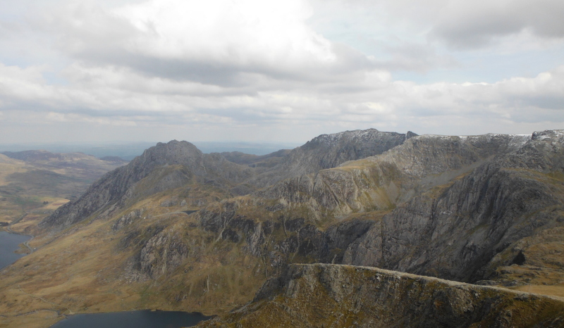
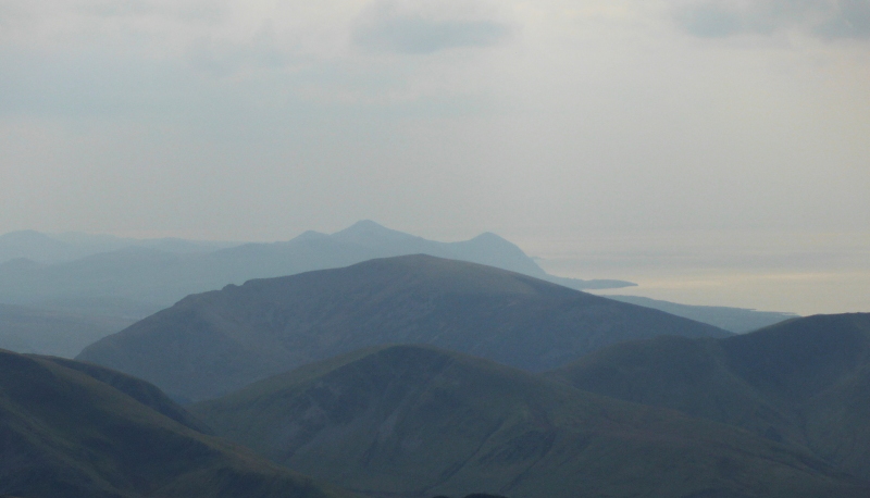
Time to head back down to civilisation, but not before taking one last picture - as a photograph, it probably ranks 1 out of 10, however it is a view I love, and I didn`t expect to get it from Y Garn - looking over the top of Mynydd Mawr down the coast of the Lleyn Peninsula to Yr Eifl.
