Wales - 2013
03 December 2013 ........... Tryfan - the Heather Terrace
I`ve been back to Tryfan - this time I wanted to find the Heather Terrace, which is a route that runs diagonally up the east side of Tryfan.
I also wanted to learn more about Tryfan, and to record some views of it for future reference.
So to start, this is the view of the west face of Tryfan from the roadside at the west end of Llyn Ogwen.
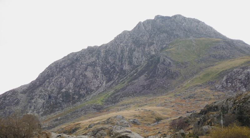
Now one of the things that are fairly obvious from there is a well used route up all the grass, then heading up to the gap between the two summits - I think this needs investigation, as it looks like it could be the quickest way up to the summit.
It may also be a good way back down, without having to go all the much longer way down the south ridge, and around the flank of Tryfan back down to the road.
It is useful to know about quick routes that can be used during the short winter days.
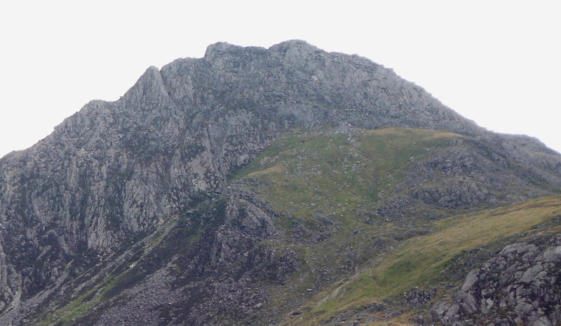
Further along the A5, and this is the east face of Tryfan.
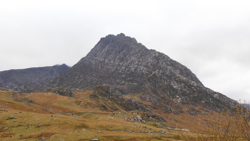
Here is a closer view, which shows the Heather Terrace a bit more clearly, running diagonally up the east face, just below the crags.
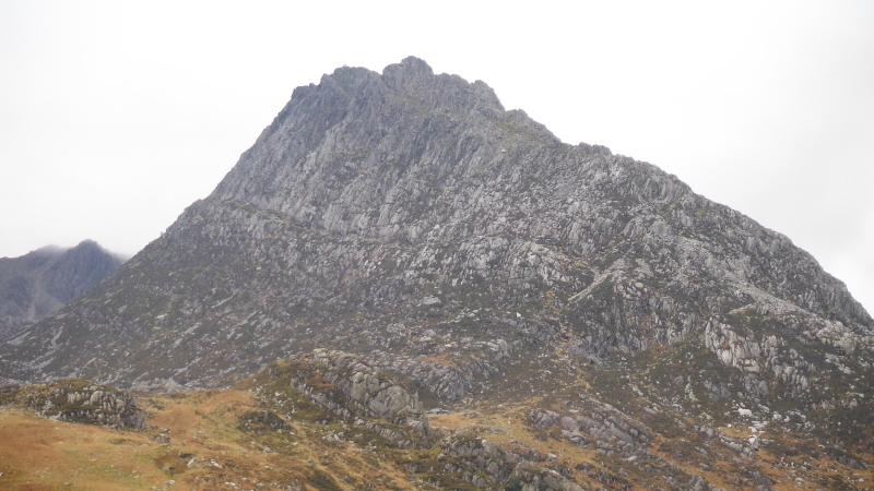
If you have started from the roadside just beyond the east end of Llyn Ogwen, then finding the lower end of the Heather Terrace shouldn`t be too difficult.
However I made it complicated by starting further west, and climbing up the first part of the north ridge of Tryfan, and then I couldn`t find the Heather Terrace.
I did eventually, after what turned out to be a totally unneccesary descent down to the path, and climbing back up again.
As an aside, the first part of the route up the north ridge takes you past the Milestone Buttress - here is a picture of the lower part of it, taken from the path up the north ridge.
To get a sense of scale - you can just see some climbers right at the bottom.
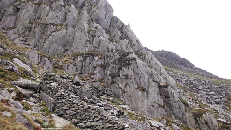
It may look it in the picture, but the first half of the Heather Terrace isn`t plain walking, there is quite a bit of height gained, and it is hard to say at what point you are still climbing up to the Heather Terrace, and at what point you are actually on it.
Quite a bit further up, it does look like a path on a terrace -
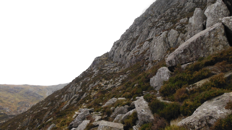
But turn around, and this is what it was like - somewhere in that jumble of rocks there is a "path".
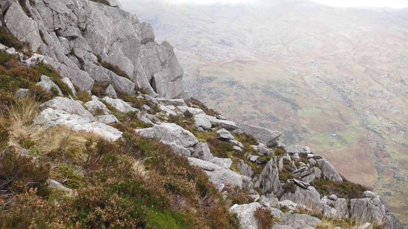
Further up the Heather Terrace, and you begin to see down to the area to the east of Far South Peak and of Bwlch Tryfan.
The thing that stood out was a path that is not shown on either the current Explorer map, or the current Landranger map.
In fact these two maps don`t even correspond, they show different paths.
The path in the lower left quarter of the picture goes all the way from the A5 right up to Bwlch Tryfan.
It therefore provides a good route right up to the beginnings of Glyder Fâch.
So quite apart from finding out about the Heather Terrace, this trip out has been very useful in this respect.
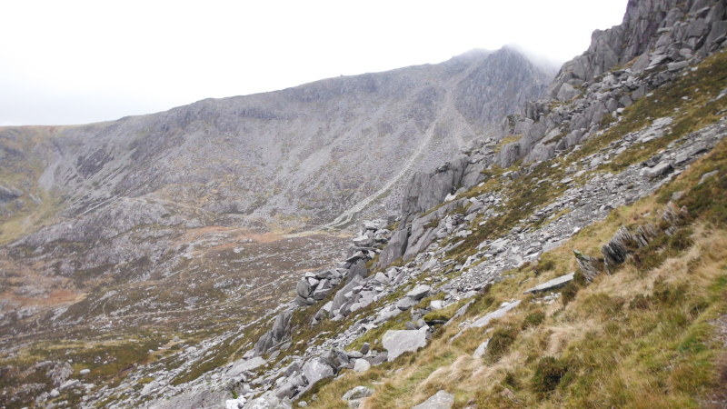
The top end of the Heather Terrace curves around the flank of Tryfan, and suddenly you are there, and Far South Peak is right in front of you.
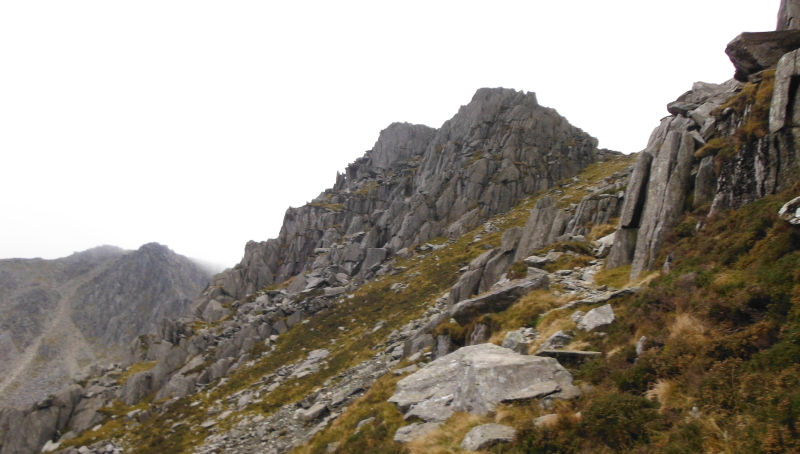
At this point, the path somewhat dissappears, and I ended up climbing up and out over a sort of bouldery bulge, then down onto the heavily eroded path just before Far South Peak.
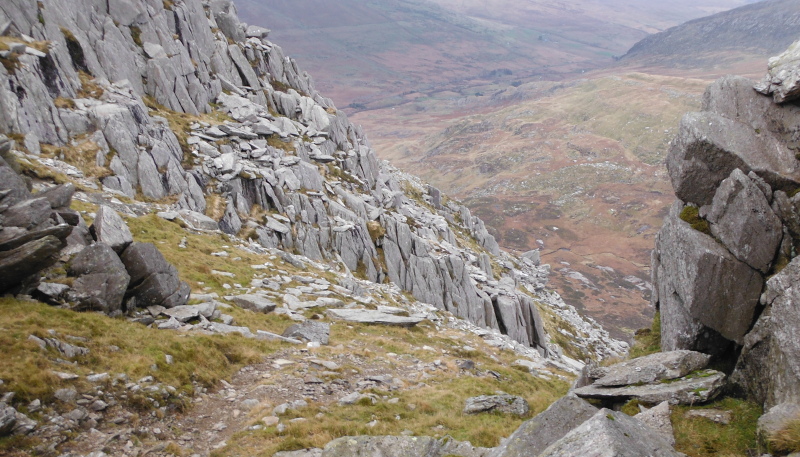
This is looking back from the coll just below the Far South peak, the path onto the Heather Terrace is somewhere beyond the middle of the picture, so it isn`t going to be the easiest of routes to find.
Far South Peak has several tops, and I have no idea which is the highest, so I did them all. Then it was a fast descent back down to the road before it got dark.
It is amazing how quickly it gets dark just now - you realise that it is beginning to get dark, so you better get a move on - then the darkness accelerates, and in a just a short time it is pitch black.
So easy to get caught out.
It is just over a couple of weeks until the winter solstice, and a few days less than that until the earliest sunset - then the afternoons start getting longer again. Great !
Finally, in my last blog about climbing Tryfan, I had a picture looking across to Glyder Fâch, and I commented that I didn`t know if you could climb the rocky buttress that rises up out of Bwlch Tryfan.
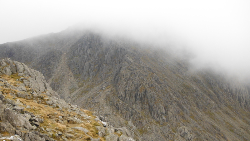
Here is another view of it, pity about the cloud - I have now found out that it is called Bristly Ridge, and it is a grade 1 scramble.
It appears that the suggested route is from the zig-zag route/path right at the bottom centre of the picture, up the gully, across the terrace, up the next gulley, then on up the crest of the ridge.
I don`t think I am rushing to try it, and looking at the picture, I wonder if there is a slightly easier route further round to the right.
Maybe one day I`ll go and have a look.
It looks like taking lots of pictures is going to be quite useful for thinking about future routes I might want to use.
