Wales-2013
23 November 2013 ........... Tryfan north ridge
I had my first trip out to Tryfan - it was going to be an exploratory trip to see what it looked like close up, and to see how it would be for climbing.
In the end, I ended up climbing the north ridge all the way to the top. I started from the roadside beside Llyn Ogwen, and for quite a long way up I think I followed the path - I am not sure if there is just one path, as there are various junctions on the way up.
To begin with, the path winds its way up to the east of Milestone Buttress - and after a while you get a good view looking west down to Llyn Ogwen, and up to Y Garn, and the line of summits that lie to the north of Y Garn.
You can just see a corner of Milestone Buttress to the left of the picture.
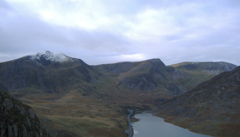
The first bit of the climb is fairly straightforward, but eventually I came to bit where I was really struggling for a while to get past it.
As you get higher, the easier bits get fewer, and the harder bits become the norm - increasingly I realised that I was committed to going on, as there was no way I could go back.
I think somewhere about three quarters of the way up you come to a flat bit - and straight in front of you there is steep ridge of large broken slabs and chunks - there was no way I could look at it, and I headed off round to the left, and found another way up, part of the way climbing up a gully with some quite big overhanging rocks.
Also by this time, I was above the snow line - it wasn`t continuous snow cover, but there were lots of little patches of snow just where I wanted to get a hand hold or a foot hold. This added somewhat to the dificulty.
I wasn`t the only person to use this route, as there were occasional bootmarks in the snow.
So I didn`t go over the top of the first summit, but rejoined the ridge in the gap between the first and second summit - the actual top of Tryfan.
All the time I was climbing up, the cloud was building, and the cloud base was dropping, so there wasn`t much of a view.
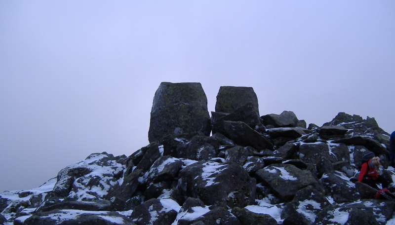
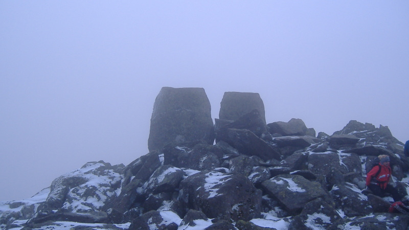
Here are Adam and Eve, the two rocks that top the summit. There is a precipice on the other side of them.
I gather that you are supposed to climb one of them, then jump across to the other one.
I gave that a miss !
To the north, Carnedd Fach was in cloud.
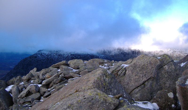
To the west, Y Garn was gone.
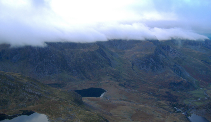
To the south west, the Glyders were also in cloud.
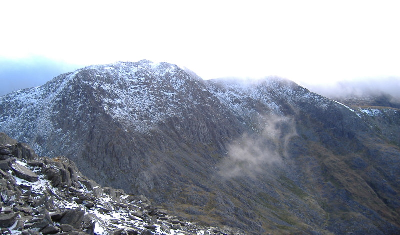
Whilst I was on the summit, the cloud came and went - sometimes it was like this.
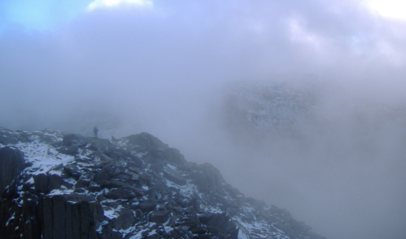
I came down by the south ridge, which is much easier than the north ridge. As I was climbing down it, the cloud was increasingly lifting, and I stopped quite often to grab another picture, before I lost too much height.
The lake in the foreground is Llyn Bochlwyd, the further one is Llyn Idwal.
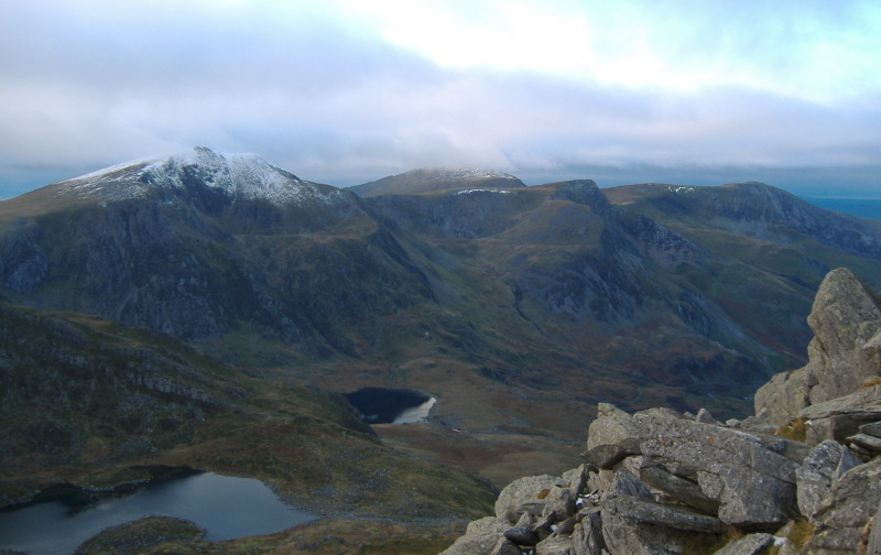
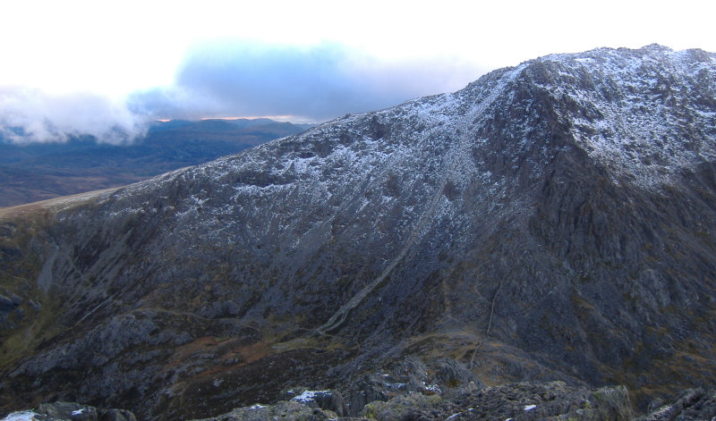
I took this picture somewhere down the south ridge - it isn`t the most dramatic of pictures, but it is quite useful, as it shows two of the routes up Glyder Fâch.
There is a path that runs up the steep face just beside the scree - or between the scree and the buttress. I have no idea if there is a way to climb that buttress.
The path that runs from the centre of the picture off to the left is The Miner`s Track - it would provide a much nicer way to get up to Glyder Fâch - along the path, then up the easy slope up to the summit of Glyder Fâch.
In the other direction, The Miner`s Track bypasses Far South Peak, and then joins onto the Heather Terrace.
So it would all provide an easier way to get to the Glyders, without going over Tryfan.
All in all, it was a lot more of a stressful day than I had anticipated. The north ridge of Tryfan is rated as a grade 1 scramble, so I didn`t expect to have much difficulty with it.
But if that was a grade 1 scramble, I won`t be doing any grade 2 scrambles for a long time.
Free climbing the Innaccessible Pinnacle in the Cuillins was a walk in the park compared to this trip.
When I first saw Tryfan from up on Y Garn, I thought that Tryfan might just be at home in the Cuillins. I think I`ve changed my mind.
Tryfan is in a different league.