Munros + Corbetts - 2012
Beinn Sgulaird - 22 September 2012
After about 4 weeks of rain, we finally got a dry spell, so I went off to climb a local munro, Beinn Sgulaird, which is a few miles north east of Loch Creran.
My OS map for the area, sheet 50, doesn`t show it, maybe newer versions do, but there is a land rover track which starts at Druimavuic at the head of Loch Creran, and heads east south east right up and over Coire Buidhe.
It is maybe a bit tedious following a land rover track for 3km`s or so, but it is a very good way of gaining a lot of height, and after a while you get to the coll.
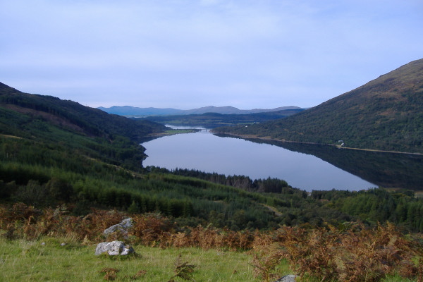
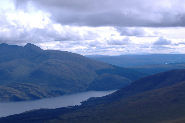
A short while after I started, I could look back down at Loch Creran, which looked like a mill pond.
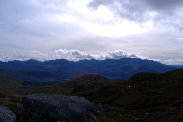
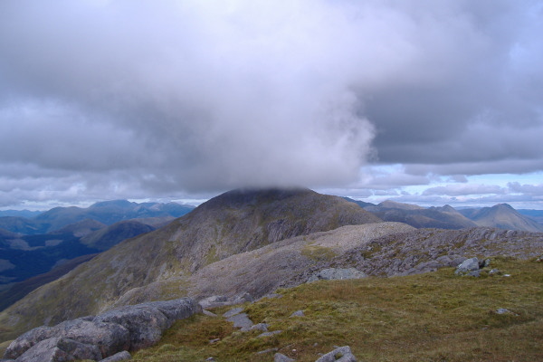
By the time I had got up to the coll and started climbing up the steep slope to the un-named peak with a height of 863 metres the weather had changed a bit - or a lot - and Ben Cruachan was starting to hide in the clouds. So I grabbed a picture of it before it completely dissappeared.
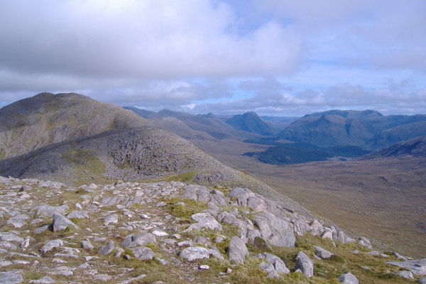
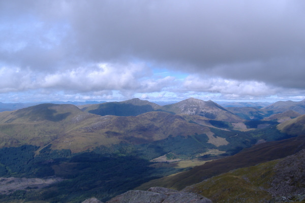
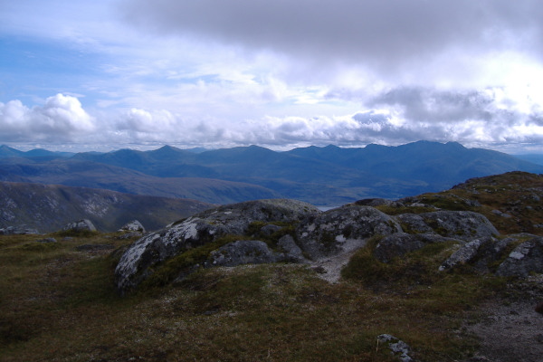
From this 863 metre summit, you look across to Ben Sgulaird, and it looks a long way across to the summit. You also get a good view looking right up Glen Etive, with all the hills on either side of the glen laid out.
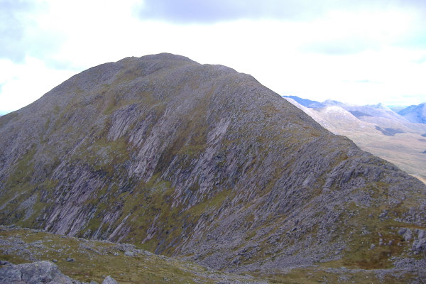
From the next summit, Beinn Sgulaird is quite an impressive sight.
The view from the top of Beinn Sgulaird was fabulous in every direction. In fact it was so good it was difficult to know what to photograph. Here is the view to the north across to the two munros above Ballachulish, Sgorr Dhonuill and Sgorr Dearg. They are both big hills, over 1000 metres. In front of them and to the left is the corbett Fraochaidh.
Round a bit to the right, Ben Nevis dominates the skyline, head and shoulders above the rest of the world. In the foreground lie the Mamores, including the fabulous Ring of Steall, although it doesn`t really show much in this picture.
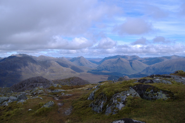
Continuing clockwise, another view looking up Glen Etive, with the huge bulk of the flat tops of Creise and Meall a Bhuiridh. You can`t really see them in this picture as it is too small, but when I was there, and on the high definition version of this picture, I could/can see a large mountain range just to the left of the ridge Buachaille Etive Mor - looking at maps back at home I reckon it is the Cairngorms. That`s quite impressive seeing the Cairngorms from a mountain on the west coast.
Round a bit more, and Ben Starav was looking magnificent, with Ben Lui in the background.
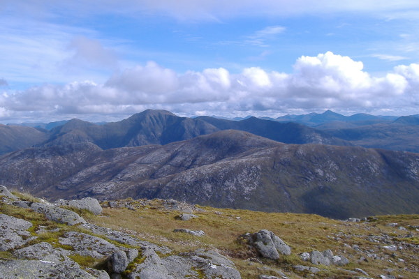
Round a bit more, and Ben Cruachan still had that little hat of cloud on it, but it never got any worse than that. The other munros just to the east of Ben Cruachan were clear all day, it was only Ben Cruachan ( and Ben Nevis ) that ever had cloud on them.
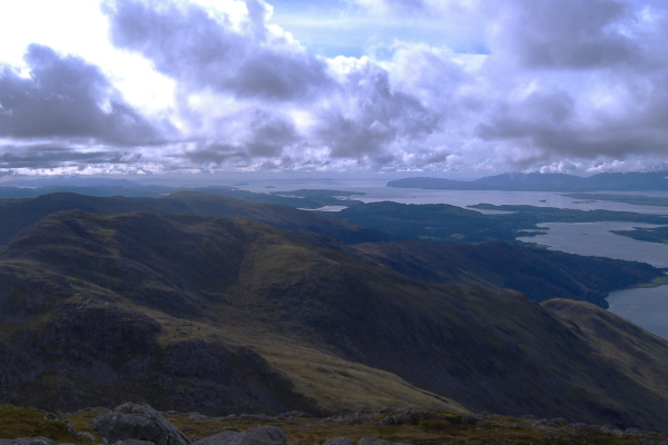
Round to the southwest, the whole of the Firth of Lorne is in view, can you ever tire of that sort of west coast view.
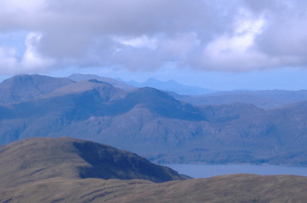
Not totally clear, but quite visible, out to the northwest I could see some distant mountains - back home I eventually worked out that they are probably the hills on Knoydart - there are three munros on Knoydart plus some corbetts, so there is a good chance that is what they were.
Then it was back down, and by the time I had reached the un-named 863 metre summit, the lighting had changed, and looking southwest was a bit different, although I`m not too sure that it the difference really shows in the picture.
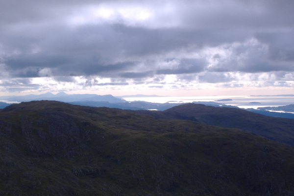
However the different lighting showed up Arran in the distance, just round a bit from Ben Cruachan.
Then something really strange happened - a block of cloud came down from the north, and sat on the summit of Beinn Sgulaird. It only stayed there for about 5 minutes, then went away. It never affected any other mountains - it was weird !
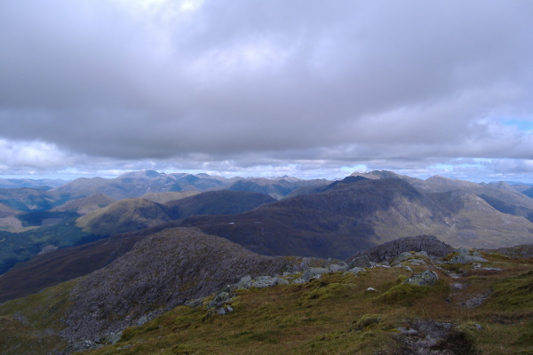
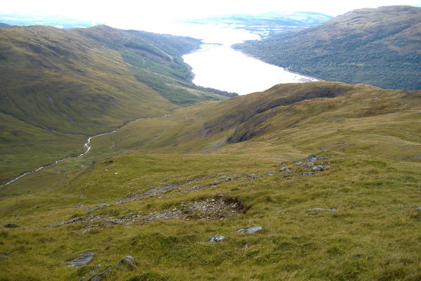
From the 863 metre summit, I didn`t go back down to the coll and down the track - I went down the long continuous ridge which stretches out from the summit virtually all the way down to Loch Creran. The first half was good walking, the lower half was a bit steeper and in places quite wet, so progress was a bit slower. Here is the view looking down the ridge, you can see the track way down below.
Quite a surprising day in all - my first munro in two years, and the most amazing views - it is not often you can see Arran, Knoydart, and the Cairngorms from one mountain.
website design by ron-t
website hosting by netnerd.com
© 2025 Ron Turner
![]()
![]()