Munros + Corbetts - 2009
17 September 2009 ......... Beinn Teallach + Beinn a Chaorainn
These two munros lie just to the south east of Creag Meagaidh, across the road from the bottom end of Loch Laggan. There is a BIG drop between them, however they are a fair walk in, so best to try and do them both at the same time.
For once, I didn`t take my bike - it would have saved a bit of time walking up through the wood, however in the end, it was a good thing I didn`t take it.
After you leave the wood, it`s a bit confusing, the path isn`t too clear, and there is more than one of them, and you have to turn right round to the right, across a rather boggy bit of ground. In the end, I abandoned the path and climbed up the hill a bit to get drier ground, then crossed the river a bit higher up. Its an easy walk from there up passed the wood on your left, and up the ridge to the summit of Beinn Teallach.
The whole time I was climbing up Beinn Teallach, it was clear, but the cloud was coming and going on Beinn a Chaorainn.
Beinn Teallach has two quite distinct summits, and two cairns, and I`ve no idea which one is the higher. From the top of Beinn Teallach, you look directly across to Beinn a Chaorainn, and its three summits. Fortunately, the cloud had cleared at that point.
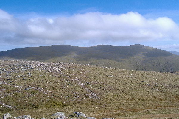
Having got to Beinn Teallach, there is now that BIG drop down into the valley - where you find a rather unusual cairn - its unusual in that it marks the bottom of the valley, rather than the more normal summit.
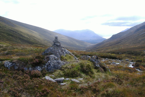
The climb onto the ridge of Beinn a Chaorainn is just one long slog, but eventually you get there, and eventually you get to the most northerly of the three summits. And then along the ridge.
Then you get a surprise - the east side of the ridge has a big bite out of it, with some quite impressive crags. Here they are, looking up to the middle, highest, summit.
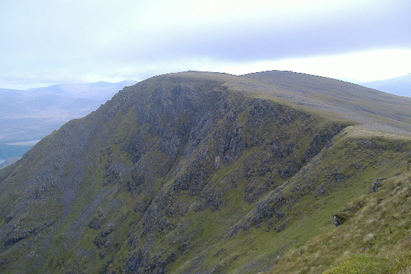
As I was climbing up to the middle summit, the cloud came rolling back across again, so the world dissappeared into grey clag.
After something to eat whilst sheltering behind the cairn, I set off for the last summit, and the cloud lifted a bit, so here is the last bit of the crags, with the summit blanked out by the cloud. It is interesting that to the camera, the cloud isn`t as dense as it was to my eyes, when I was up there looking at it. I know from when I worked in the television broadcast industry, that tv cameras can see through some things that the eye can`t see through. Maybe modern digital cameras have the same characteristic.
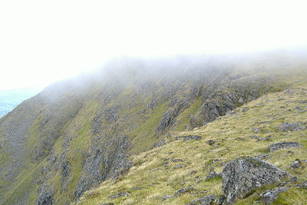
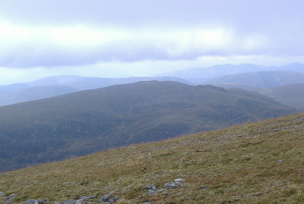
Just before I dissappeared into the cloud, I grapped a picture looking across to Beinn Teallach, with the long south ridge, and much steeper north side.
After leaving the last summit of Beinn a Chaorainn, and heading back down, I noticed there is fire break in the forest, which I reckoned could mean that it would be a shorter way to get down on to the track through the wood. It turned out that not only is there a fire break, but it is used as a route through the wood by the estate, there is a path of sorts, and a stile over the deer fence. I think it is about NN 380 825, so it was quite a bit quicker than heading right round the west end of the wood and over that boggy confusing bit.
Not the best of days, but certainly not the worst. I was glad that I did them clockwise, you would almost miss the crags on Beinn a Chaorainn if you did them the other way round. If I had done Beinn a Chaorainn first, I might have been lucky and got to the summit in a clear spell, or I might not, I really don`t know. But it worked out okay the way I did it.
Finally, one of the things that I noticed when I was on Beinn a Chaorainn, is that it is not too much of a drop between Beinn a Chaorainn and Creag Meagaidh - you could do a superb high level route of the four munros - Beinn a Chaorainn, Creag Meagaidh, Stob Poite Coire Ardair, and Carn Liath. It would be a great route, if you could work out transport along the road somehow. My inclination would be to do them clockwise, but you would get the best views of the crags on Creag Meagaidh and on Beinn a Chaorainn if you did them anti-clockwise.