Munros + Corbetts - 2009
29 May 2009 ........... Carn Dearg + Carn Dearg
These are two corbetts up above the head of Glen Roy, and I`m afraid to say that there is little to distinguish them from a thousand other hills in Scotland. Not only have these two mountains got the same name, there is another corbett further down Glen Roy also called Carn Dearg. Whoever went around hanging name tags on mountains in Glen Roy was suffering from a lack of imagination !
It`s a straightforward horseshoe route - just because I could, I cycled up to the sheep pens at NN 927 339 ( I`m not sure - should that be sheep stank ? ), then up river a bit, and climbed up and round the side of Sron a Ghoill, down again and across the river, and up the flank of Teanga Mhor. If I`d been smarter, I`d have stayed on the path, and crossed the river via the bridge.
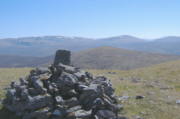
The top of the ridge all the way to the summit is a bit tedious - very boggy, with deep peat hags, so it`s quite slow going. However eventually I got there, and just to prove it, here`s the view across to the other Carn Dearg, with the north side of Creag Meagaidth in the background.

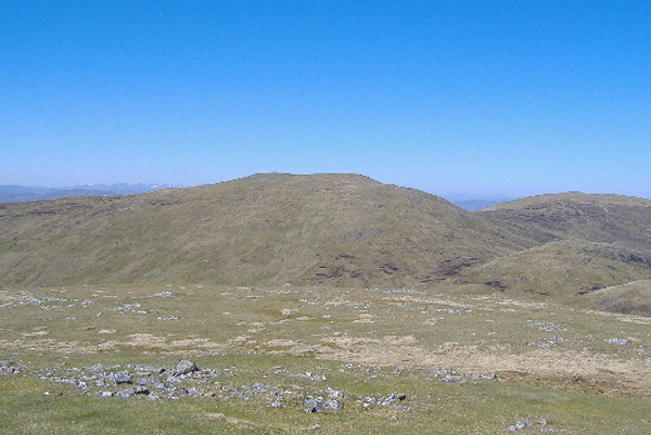
Then down and up to the second Carn Dearg of the day. And just to prove it, here`s the view looking back to the first Carn Dearg.

Visibility was quite good, so I think the hills to the left of Carn Dearg are the munros round Glen Affric and Loch Mullardoch, and the rather indistinct hills to the right of Carn Dearg are the Glen Strathfarrar munros.
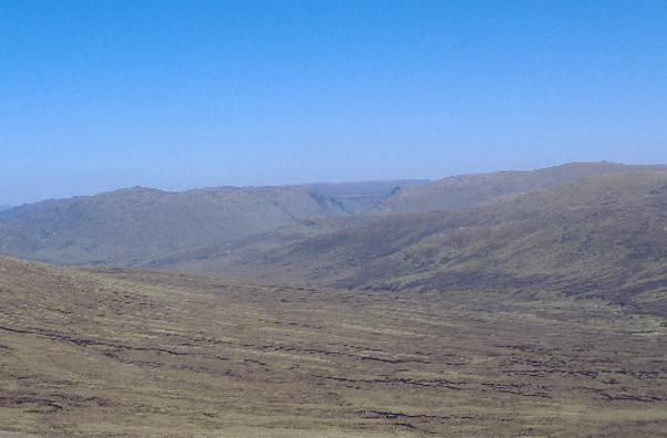
Just because I don`t think I have any other pictures of Garn Chuilinn, the corbett that caused me much grief a few weeks earlier, here`s what it looks like from the first Carn Dearg - the steep sides of Glen Tarff are right in the centre of the picture, Garn Chuilinn is to the left, and Corrieyairack Hill is to the right. It`s not easy to see either of them in the picture, but beyond Glen Tarff is the new loch / resevoir for the Glen Doe power station, and in front of Glen Tarff, the road over Corrieyairack Pass climbs up the side of the ridge. All the snow patches that were there when I was there are long gone.

The most scenic part of the area is the valleys that contain the various headwaters of the Roy - they all have steep gradients, are all steep-sided, and deep, with patches of trees and occasional waterfalls. The river I crossed had the most incredibly clear water in it.
Not the most exciting of outings, but very pleasant all the same, with great weather and great visibility.